Curveball

So I left Dawson City behind.. a town rich in it’s past and present history. I’ll be back. Hopefully to engage the elusive Dempster again at some point. Leaving town around 4:00 pm and crossing the Yukon River on the constantly running free ferry, I was thrown into a world of steep hill climbing that would not let up for another 110 miles. Right off the ferry, the road turns skyward, straight up at angle of about 10-12%. For 8 miles straight without mercy. Near it’s “top”, there is a rest area of sorts and I call it home for the evening. Over the course of the next days’ 68 miles of pedaling, I must have gained and lost 5000′ of elevation, without really gaining or losing any. This highway, a dirt path through the forest for 110 miles, connecting Dawson City, Yukon, and Chicken, Alaska, is known as “The Top of The World Highway”. And for good reason too. The path leads across the bald, tundra coated, ridges and summits of the western Yukon and eastern Alaska “hill country”. The views are stupendous; I now am looking across to the continental divide, 150 miles to the north east. In fact, from this vantage, I can see the Tombstone Mountains that I was forced to retreat from just days earlier. Only this time my view of them is from the directly opposite side and over 200 miles past. It is a  truly remarkable place. After landing in Chicken, in a rainstorm of rainstorms, mud, landslides and all, I secure a Salmon Burger from the tiny grill located there; It is a real surprise to find the food quite fantastic. I chat with the locals a bit and down a couple of beers. I must go back into the forces of the rain, hill climbs, mud, and misery. Back on the bike, the storm eases up a bit, and I begin to find a rhythm that breeds peace. A big bull moose crosses the road in front of me and magic is afoot once again.

The next day, after crossing the flanks of Mt. Fairplay, I turn the corner and am greeted with an unexpected surprise. The almighty Alaska Range is standing before me, clearly demonstrating my subordinance. Once again, I am in awe.

Finally reaching Tetlin Junction at the merging of the Taylor Highway and the Alaska Highway, it occurs to me that the hill climbing is over for the next several days, as, if memory serves me correctly, the stretch between Tok and Fairbanks is flat pedaling, but a spectacle of the foothills of the Alaska Range. This combo makes for some blissful times indeed.

I spend a couple of nights in Tok, at my old camp in the woods to the southwest of the school. I always have, and do now, find Tok and this part of Alaska in particular, very satisfying. It’s close proximity to the Alaska Range, great country side, and a relaxed atmosphere is unique, even for Alaska. It’s winter’s are another matter, however. Locals confirm it’s reputation as a scene of brutal cold; Winter time temps of -60F are not just occurrences, they are outright common. Land is cheap here, there is no sales tax, no property tax, no building codes, and no jobs. Sounds like a good place to retire to for part of the year.

Moving on, I head north along the northern and eastern flats below the impending Alaska Range. The creeks are plentiful and crystal clear, and I drink copious amounts of water from them; gorging myself on their nectar. Another night of thunderstorms and another morning of packing it up in the rain today. It is getting to be routine. I am finding myself able to pack it in with my eyes closed. Later in the day when the sun is out, I pull out the fly and it dries while I snack. No big deal.

I am now in Delta Junction, camped on the gravel beaches of the wildly braided Tanana River, looking to the south at the appearances of my favorite mountains on Earth.The central Alaska Range’s  Mt’s Deborah, Hayes, and Kimball, all are reaching upward in an attempt to put on a show for me, but the storm just won’t have it. I have never seen this side, the north side of these peaks, and I decide to camp here tonight in hopes of catching a time-lapse of these marvelous peaks in the morning, with the sunlight splattered across their eastern escarpment and embellishing their glacially clad, icy armor.

What’s up next, You ask? Perhaps an adventure up the Steese Highway for a trailride on the Pinnel Mountain Trail and the Circle-Fairbanks Trail. Or perhaps it is time again to settle the score with the Arctic once and for all, and head up the Haul Road, into the Brooks Range. I don’t know yet.

You’ll know, when I know…

Well, now I know, well, sort of… Life just threw me a curveball.  I awoke this morning and while packing up and getting ready for a northward stint, I noticed that the envelope containing 90% of my cash is gone. I knew instantly that this was not a case of misplacing it within my kit, but one of absolute disappearance. I spend the entire morning on the phone to all places past I had visited and with no avail. I suspect it is a case of carelessness on my part; possibly left at the counter of a shop somewhere in Tok, or who knows where. Maybe it fell out of my bag when I pulled over to take a photograph. I just do not know, and suspect I never will. Either way, it is gone, and so is this journey, at least in it’s current fashion. Again, Ill let You know when I know. If by chance there is a person out there who knows something of an envelope labeled only “Trip”, that contains nearly 4000 dollars in cash, gimme a call.. Please! (435) 260-1990.

That’s all I have to say at the moment.

IMG_0800 IMG_0814 IMG_0827 IMG_0840 IMG_0845 IMG_0858 IMG_0862 IMG_0871 IMG_0875 IMG_0877 IMG_0883 IMG_0886 IMG_0892 IMG_0899 IMG_0906 IMG_0909 IMG_0911 IMG_0916 IMG_0934 IMG_0939 IMG_0940 IMG_0942 IMG_0950 IMG_0979 IMG_0986 IMG_0993 IMG_1005


A Real Wish List

I have been dreaming lately, of the many places I wish to visit on this splendid Earth.  They are all rugged, remote, inhospitable, and full of wonder, beauty, and hopefully, for a while longer, before humanity has it’s way, full of non human animals as well. These places are diverse, yet at the same time, I realized, generally occur at great distances from the equator and/or at higher elevations. I do love mountains and deserts, I admit.

Here’s my “short” list

1.   Dempster and Dalton highways, Alaska/Yukon/Northwest Territorries-heading out in     3 1/2 weeks!

2.   McCarthy Road, Alaska- Later this summer

3.   Nabessna Road, Alaska- Another trip.

4.   Canol Road- Yukon/Northwest Territories

5.   Alaska’s Lost Coast- From Cordova to Glacier bay

6.   Campbell Highway-Yukon

7.   The Great Divide Route- Canada to Mexico

8.   The Transtaiga Road- Northern Quebec

9.   Iceland’s Belt Route

10.   The high deserts of Bolivia, Chile, and Argentina

11.   The Arctic Highway in Norway

12.   The Kamchatka Penninsula in Eastern Russia

13.   Siberia

14.   Mongolia

15.   Last but not least, if I can beat this cold I have and get my ass out of bed in the morning, I hope to pedal to work tomorrow!

What’s your list?

The Berryessa Breakout

Even though it’s just short of the Equinox, in my mind, at least in this part of California, spring  is here. The days lately have been perfect for almost any activity one might wish to partake in.. Especially cycling.  In my ongoing quest for beautiful areas that show some signs of countyside, ie: forest, lake, river, mountain, rocks, wildlife, and some type of contour or relief, within bicycling distance from the City of Madness, I decided to get a group together via the shop, and head out to Putah Creek Canyon for an overnighter. Just above said canyon, lies a damn dam, above which, pushing against it with all it’s might, lay Lake Berryessa. Home to many a water skier and fisherman in the summer, it’s rugged topography makes for some fairly spectacular scenery that is typical for this part of California.

We meet at Edible Pedal at 8:30 on Saturday morning for some hang time and some breakfast and coffee. John Boyer, the owner of the shop, and proprietor of many a  past bike camping ensembles, was, unfortunately, unable to join us for this one, which left us with 5 riders: Mike, Gregg, Michael, Zach, and yours truly.

We blasted out “R” Street and booked across the Capitol Bridge, across motel row of W. Cap Ave, across the causeway, and into the splendid bicycle and college community of Davis, where, much to my pleasure, we were to meet an old friend whom I knew from Moab many years back. Robi moved from Moab 9 years ago and landed in Davis, got married, and procured a magnificent little girl named Miriam. A few short miles west of Davis we spot Robi and Miriam at an intersection of the bicycle path heading out. He was riding a three speed commuter with an active trail-a-bike attached to the rear, where 5 year old Miriam could assist in the pedaling of the apperatus. He had a long flag pole sporting Tibetan prayer flags, a Pabst Blue Ribbon on the bars, and a set of speakers gently cranking out pleasant tunes for the ride. Moab style..  Off we go..

The pedal from this point was a whimsical mixture of fairytale forests of fruit and Olive groves, creeks, farms, and a tastefully graffitied concrete bridge that really was a sight to see. Our first stop was to be in Winters. It is a small town nestled at the foot of California’s coastal mountains. The weekends there seem to be a mass of tourists and bikers- (motorcycles). But during the week, I bet it tones down quite a lot and becomes a nice quiet town again, Winters is the sort of place that looks as tho it might not have changed all that much in the last 40 years, and this pleases me. We hit the small, but well stocked grocery store there for some viddles, and them resume the journey westward.. and onward to the regionally famous Berryessa Brewery.

Everyone we talked to famously talked up the Berryessa Brewey, it did not dissapoint. Their selection of carefully crafted brews were few, but dang tasty.  Robi picked up a growler to go and off we went into the canyon to find our camp next to the river. Later that evening, John Boyer shows up in his truck and we all stay up for some time and pull back on cervesa and talk.

In the morning, I awake, and Boyer has already left for the bike shop. We have a casual morning at camp, enjoying our breakfasts and coffee, and the scenery of the forest and creek areas. As we pedaled the 40+ miles back to Sacramento, we enjoyed more of the same nice weather that has been so typical of the season so far here. We said our goodbyes to Robi and Miriam in Davis, and pedaled home, smiling.

IMG_8058Hwy 128 IMG_8170Hwy 128 IMG_8164Hwy 128 IMG_8162Hwy 128 IMG_8157Hwy 128 IMG_8147Hwy 128 IMG_8145Hwy 128 IMG_8126Hwy 128 IMG_8122Hwy 128 IMG_8118Hwy 128 IMG_8113Hwy 128 IMG_8107Hwy 128 IMG_8103Hwy 128 IMG_8097Hwy 128 IMG_8094Hwy 128 IMG_8091Hwy 128 IMG_8089Hwy 128 IMG_8084Hwy 128 IMG_8083Hwy 128 IMG_8082Hwy 128 IMG_8080Hwy 128 IMG_8068Hwy 128 IMG_8065Hwy 128 IMG_8063Hwy 128 IMG_8060Hwy 128

Two Days in the Delta

Back in October, some friends and I went on a sweet overnighter via bicycle – Here’s a recount:

The Sacramento River delta area nestled between the bay area and Sacramento are a maze of sloughs, levies, farms and vineyards. John Boyer, the owner of Edible Pedal,and I decided it would be a blast to take a couple of days in October and ride down to Brannon Island.

On the Branch Line Trail

It’s a leisure cruise through a myriad of riverways, country roads, and both native and non-native history.

Old Truck Steering Wheel

Relics of old farm trucks turned food delivery vehicles, migrant farm workers feasting on Sunday barbecue, harvest festivals, pumpkins and children.

Bing Kong Tong
Bing Kong Tong

It’s about 50 miles to Brannon Island from Sacramento.

John Lucas
John Lucas

My friend John Lucas builds custom steel and aluminum cycle trucks that scream “Sell Your Car”.  Lucas showed up for the ride with his single speed cycle truck wearing jeans, flip flops and  an old brim hat. After 40 miles or so, he said his feet hurt a bit, but other than that, he managed the round trip total of 100 miles without incident.

Michael
Michael

Although paying for camping is not my usual routine, since we had a group of 6 or 7, it seemed best.  The campground on Brannon is a state run outfit.

John Boyer
John Boyer

A casual ride with friends and great October weather.

At Camp
At Camp
Cycle Truck in Camp
Cycle Truck in Camp
Ridin' Home
Ridin’ Home

Dirt Trailing

Sunny Sunday, early afternoon, chores finished (sort of), bike screaming at me. Stop! I hear You! Grab photographic devices, off we go, off to river. Find dirt trails, green grass, bike tracks, soft dirt, bare trees, glimmering water. Past Hobo camps, fallen trees, railroad trestles and graffiti. Pass dogs’ seemingly intent on murder – pedal hard. Homeless man without teeth to bare grins wildly at the sky like something is coming for him. Bike glides silently toward an unknown realm where there is no city, no filth, no goal. Only to be a bike.IMG_7943 IMG_7946 IMG_7949 IMG_7950 IMG_7951 IMG_7953 IMG_7955 IMG_7957 IMG_7959 IMG_7960 IMG_7963 IMG_7970

Some Thoughts

112 days. That’s not to long, is it? Only 112 days left till the open road is mine once again. 112 days till I  get in my truck (ugh) and drive to Bellingham to catch the ferry to Skagway. These days, lately, have been filled with wrenching at Edible Pedal, editing video, working on TV commercials and feature productions, doing construction projects, and just about any other thing I can muster up in order to make the funds necessary for my up coming yearly adventure by bicycle. This years’ adventure, as well as last years’, will be a northern one.  When I’m not engaged in the above evil activities as a worker bee, I am sewing gear, repairing holes, altering tents, studying maps, reading web blogs, pouring over “The Milepost”, dreaming of Bears and Wolves, flying with Eagles, preparing my bike, and living a life of adventure in the city.  I long for the forest and the mountains and the lakes, and the animals, and the valleys, and the glaciers, and the open coastlines of the North. I miss it’s smell of spruce and of berry patches and of the salty coastal air. I miss bearing witness to 30 mile long glaciers and Bears half the size of my truck.  I miss the quiet and the solitude that these places offer my mind and my soul. A place to rest; not body, but mind. I miss the daily bicycle or foot travel that affords one a chiseled and lean structure in which to live. I miss sleeping in a sleeping bag and cooking my meals in a simple and enjoyable fashion. And yes, I miss emptying my bowels into the open forest, as all animals do…  Only 112 days.

The Cassiar

img_9309

When most folks think of British Columbia, they conjure up images of Vancouver, Whistler, the areas around Kamloops or Fernie.  These are all fantastic places filled with the the awesomeness that B.C. has to offer for those seeking beautiful wilderness forest, bears, rivers, or to spend the ever fascinating “Loooney”, or “Tooney” (one and two dollar coins).  There are other (many other not mentioned here) places in B.C. that strike a resonant note with me.  Bella Coola comes to mind, of which I have friends established there.. You know who you are!   Bella Coola is a place I wish to visit sometime sooner than later, but who knows how the cards may fall!

For me, the Cassiar Highway, heading north from Kitwanga and highway 16, is without a doubt, the creme de la creme of northern British Columbia.

The Cassiar, which is an alternate route heading north/south, of the more largely known Alaska Highway,and is a is a fine example of Northern British columbia’s offerings of  beauty, soitiude, and grandiose scenery and wildlife.

Highway 16 which intersects the Yellowhead Highway, is also know by some as the Highway of Tears.  Between 1969 and 2006, some 18 cases of missing persons or homicides of young girls have been reported.  Riding through this section enroute to highway 37, The Cassiar, felt surreal to me, knowing there has been a great mystery here.  My heart goes out to all of the families who are in pain from these incidences.

The last major town departing from the Yellowhead is Smithers, British Columbia.  Smithers is a a fine town, with a strong bicycling community, including a DH and freeride scene upon the local mountains and ski hills.  I spent an entire afternoon here, seeking out bike shops who might have the required length of spoke  that I required.  It was also a great place to get re-supplied for the long length of road ahead of me known as the Cassiar Highway. Just north of the town, lie splendid mountains, sporting moderate looking alpine mountaineering routes that might leave a Sierra climber in awe. A place called Glacier Gulch features two extarodinary peaks with a small glacier at their base. Ice couloirs bearing the gifts of alpine ice lie above, beckoning me.

Heading north from Smithers, I passed through the ancient Native fishing village of Moricetown, situated snugly against the mighty Salmon festooned river of Bulkley. And on to the hamlet of New Hazelton, which, though a place of unfounded beauty, did not stop raining once. I settled into a cafe there, and ate a magnificent breakfast, re supplied on beer, and headed for the Cassiar of my dreams.

I cross the mighty Skeena River, and upon entering the Cassiar, my mind began to fill with a wonder I had really never known. Of all the adventures taken past, climbing, mountaineering, bicycling, wandering, I had never felt such a presence before.  It was an age old feeling of family and gathering and fishing that caught my imagination as though I had been here before.  I felt strangely at home, yet I also felt an unnerving sensation of detachment that I was not expecting.

All day in the rain, pedaling, thinking, feeling these great emotions of past, I began to become as weary as I had ever been, but pedaled on, in hopes of engaging the Cassiar as fully as she deserved, I finally needed to stop.  The area was festooned with brush so thick, one cannot really camp with any amount of enthusiasm.  I spy a free gov’t campground, but, due to the constant rain, is totally flood out.  I try to ride my feeble bicycle into it’s innards, but am rejected like a vomitous expulsion, that forces my weary body back to the road and onward in search of salvation.

After a couple more miles, desperate, a gravel pit area appears like a welcome wagon from hell, and I pull in.  My first sight? A dead Grizzly, shot, I presume. The image brings an anxiety and fear of the Bears of which I had not come to terms with yet on this journey.  Too exhausted to care, I pull  a  little further in and call it a day.  Cottonwoods bigger than I had ever seen before sprouted the forest around me; I eat a meager supper, hang my food bag in said trees, and crack open a beer and a belt of Rum, and the world washes away, fears dissipate, and I begin to feel like I have finally come home.. The bear spray was not even clutched that night, as it had been so many nights before. The glorious adventure was now in front of me…

The next 24 hours become a mind numbing, but peaceful, pedal, through the boreal forests of the region, that, with the weather now clear, sunny, and glorious, finds my mind at peace once again.

These forests lead on and on toward an area, what one native in Smithers told me, “The Grizzly Bears there will make a small snack out of you”.  The area in question is Meziadin Junction, where the highway splits to go either west, to Stewart, Alaska, or north, further up the Cassiar.  This place, according to the locals, has the greatest concentration of Grizzlies in the central B.C. sub coastal area.  I never saw a one, sadly.

I pedaled for 6 more days through this Alice in Wonderland of wilderness, passing through some of the most heart felt forest and landscapes my heart and mind could conjure up.

Passing through Dease Lake, I find that there is a small town there, and sporting a decent grocery store, laundrymat, liquor store, and cafe. This felt like a miniature vacation of sorts and, camped on the beaches of the local swimming hole and fishing spot, I drink and hang with the local native folks and learn of the long winters and of fishing and the hunting ways of native peoples. This makes me smile and I move on..

North of Dease Lake, I can feel the the landscape begin to change towards a more northerly and remote arena.  I can smell the Yukon from here.

The last night on the Cassiar, I find a serene place next to a fine river and begin to unpack the bike. Seconds later, a van loaded full of Native teens pull in and open the doors; all pour out and declare their victory that day.  They unfold a tarp in the back, revealing a large male Ram, shot on a nearby ridge, and declare that Ram meat is a delicacy that cannot be beat. They say that they intend to gut the creature here, next to the river.  I know that the ensuing gut pile will attract bears for miles and I split.  Later, I find a decent camp further up, next to the same river, but the skeeter’s are the worst I have ever seen.  Welcome to the north!

The next day, I pass through the surrealistic remains of a forest fire, that given the eerie feeling of the last 48 hours, fit’s the bill.  Later that day, I reach the Yukon border and the junction with the Alaska Highway, and already, begin to miss the Cassiar.

All told, the Cassiar highway is a place like no other I have ever been, and hope one day, to experience it’s haunting delicacies once again.  I urge any one who might embark on a pedaling journey to Alaska, consider this as  a superior alternative to the lower Alaska Highway through northern B.C.

And that’s all I have to say about that…

“How Can I Be Lost,  When I have no Where to Go..?”

-Metallica

img_9260 img_9259 img_9271 img_9300 img_9292 img_9286 img_9364 img_9363 img_9351 img_9349 img_9341 img_9339 img_9334 img_9323 img_9383 img_9372 img_9368 img_9401 IMG_9458 IMG_9454 IMG_9438 IMG_0462 IMG_0474 IMG_0477 IMG_0479 IMG_0482 IMG_0485 IMG_0487 IMG_0488 IMG_0489 IMG_0493 IMG_0499 IMG_0503

A Day in Davis

These days I often just simply get on my bike and go. Sometimes just a vague idea in mind as a destination, but usually I am more interested in the journey, rather than the destination. It’s true that the simple act of being on a bicycle is a healing and rejuvenating experience; one that can straighten your path so to speak. It’s also a splendid location to get some thinking done, if that is what is needed. Or, it can be a place to simply not think and to merely enjoy the wind on your face.

Today, I decided on heading out across the Yolo causeway in search of more of the same dirt trails I had discovered earlier in the fall. As I entered the dedicated bicycle path that connects Sacramento with Davis, the Causeway appeared. The dirt trails and open meadows were completely underwater. Of course, I had forgotten that this time of year that is the case. I decide to pedal on to Davis via the bike path, and have a relaxing pedal. Davis, which about 20 miles from Sacramento, is the home of the University of California, Davis. It had been a long time since I had been to a small college town and had forgotten how quaint they can be. Davis is full of book stores, small markets, a farmers market, cafe’s and coffee shops. The UC campus is also quite nice to pedal around through, partly due to the many foot and bicycle trails adjacent to the creeks, arboretums, and, gardens. It’s quite nice really.

Davis is truly a bicycle town. Dedicated bike lanes, bike parking, paths, and bike shops seem to be every where. There are people riding bicycles everywhere, and herein lies the U.S. Bicycling Hall of Fame.

 IMG_7402 IMG_7419 IMG_7418 IMG_7417 IMG_7416 IMG_7410 IMG_7409 IMG_7407 IMG_7406 IMG_7401 IMG_7396 IMG_7394 IMG_7393 IMG_7391 IMG_7389 IMG_7375 IMG_7378

Desperately Seeking Wildness

IMG_7120Riding through urban chaos can be fun at times; even challenging perhaps.  Eventually though, I must leave these streets filled with insane people driving around like the world does not need to change, and find some solitude.  Sacramento, to me is an urban mess like any other, but it has a wonderful redeeming quality insofar as it is blessed with 2 major rivers: The Sacramento River and The American River.  At the confluence of said cricks’, lies the madness.  Beginning at said madness, and extending for more than 30 miles east, is the Jedediah Smith bike path.  It follows the American River all the way to the dam damn, where, above, lies Folsom Lake.

I pedal by the bike shop to say howdy and coffee-up, then hit the trail..

IMG_6250

This river is full of Salmon in the spring and fall, and Steelhead in the early winter.  The Jedidah Smith trail is a paved path, full of cyclists mounted to plastic machines, and sporting outrageous spiderman-like costumes.  I’m not sure if these alien-like creatures can communicate or not, as when I wave, none seem to flinch an eyelash.  I think perhaps they might be robotic droids from said madness, perhaps on a mission from a higher power that is most important.  I even witnessed said droids dismounting said plastic cycles and getting into strange, four-tired vehicles that lightly rumbled as they moved away.  Strange indeed.

IMG_6255

Luckily, the paved path leads way to MANY dirt single track trails; braiding in and out of the adjacent forest.  These trails, for the most part, are technically off limits to cycles, and are intended for horse traffic only.  It seems to me that at this juncture in time, there are far more cyclists in North America than there are Horsemen and women.  I have mixed feelings on this matter.  Rarely have I come across said cavaliers.  When I do, I am polite and get out of their way; it never seems to be a problem.

Back to the trails…  These tracks are marvelous, and even fully loaded for an overnight bike camping trip into the wildness of the river, The Ogre excelled at navigating the Oak laden singletrack.

IMG_6294

Between Watt Ave and Sunrise Ave, on the Rancho Cordova side of the River, lies an area I believe is known as American Bar.  It is festooned with Oak trees, river rock piles, Coyotes, Buzzards, open fields, and more of the same fantastic trails weaving all over. There are even a few sweet, secret and hidden places to pitch a tent and do a bit of undetected camping.  Across from this area and slightly downstream is a place of zillion dollar homes; perched steadfast on the banks of 200 foot escarpments.  This is also where the governor’s mansion is located.These castles are built on ancient native burial grounds, as is the Governor’s Mansion itself.  I know this because this river corridor was the former stomping grounds of my father, who, as a teenager, spent nearly all of his time down here and found many a human skull popping from the river banks.

IMG_7092

I find a nice spot to camp amongst the Oaks, and write and shoot time-lapses of the forest.  Later, in my sleeping bag, I listen to the cries and howls of many a coyote…  I try to imagine what this fantastic river corridor looked like 500 years ago… Before the madness.

IMG_7101

“You’ve got to ride like Hell, face into the wind.  One day you’re everything, and then you’re nothing again.”

-Gov’t Mule

Alaska 2011

The following is an excerpt from 2011.

While not really a new post, per say, it is a recollection of the past in order to glimpse the future, and a chance to do some creative writing in order to get psyched for Alaska in May 2013!

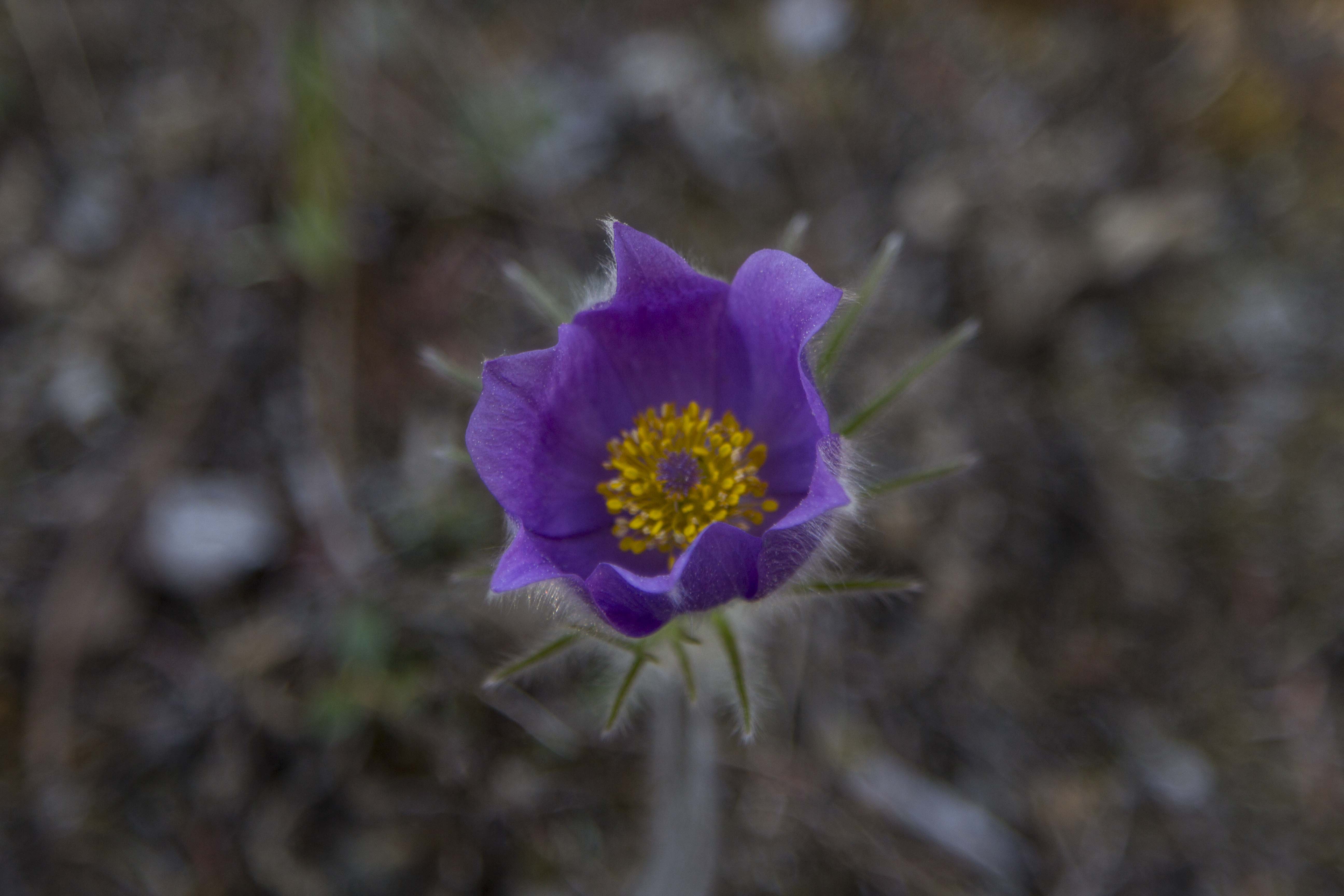
The storm finally passed over this part of Idaho, and my knee swelling subsided, so it is time to hit the highway again. After crossing the Snake river, I entered the Snake River plains and north into Idaho’s fantastic mountains. Spent the Night on the Salmon River near Challis and really started to enjoy myself. For the next 2 days I pedaled and photographed my way up the Salmon River corridor, stopping at a fantastic hot spring that David Schipper told me about. This place was a one of a kind… a 3 mile hike up a beautiful and steep mountain canyon bring one to a literal waterfall of hot water, with pools of various temps below. Totally natural and with unforgettable views.

Onward…. up the Salmon to it’s head waters and over Lost Trail pass and into Montana. More rainy pedaling and a stop in Missoula to buy a new H2O filter put me on the map of the north country. I stayed in Whitefish for a couple of days to relax, and then bolted for the border.

IMG_5817

British Columbia! B.C. is beautiful! I pedaled north, following the Kootenay River most of the time, and eventually entering Kootenay Nat’l Park at Radium Hot Springs. After climbing up the 10 percent pass into the Rockies proper, I stopped at a small lake at it’s summit called “Olive Lake” and cleaned up a bit. It started to rain. Starting down the other side, I spy a small Black Bear cub, dead, on the road. I stopped, and shooed the Crows off of it, and pulled it out of the road and off to the side. It was no bigger than a large dog. It’s fur was incredibly soft and claws very long. I spoke to it for a bit and bid it farewell to the afterworld and continued on. A quarter mile further, I look down and lock eyes with a Grizzly! I stop and speak softly to it and take some photos. Eventually, it wanders into the forest. Awesome! Then, not 200 yards further, I see a Black bear that was WAY big! She spots me and instantly bolts… Talking to a park employee later, I am told that the Black’s name is “Olive” named after the lake nearby where she is known to habitate. Apparently, she births 2 cubs every 2 years. The cub I found was hers… very sad

The next day, still raining, I finally cross Vermillion Pass and the continental Divide, and reminice of when my climbing partner at the time, Ron Alexander, RIP, pulled in here on our first trip of several, and climbed the N. Face of Mt Stanley. This place, these mountains, are the stuff of my dreams. Ron and I, and other partners went on to do the N. Faces of Robson, Athabasca, The W. Shoulder Direct on Mt Andromeda, and quite a few others. It has been nearly 20 years since I was last here. I’m feeling pretty blown away…. I am now at Lake Louise for the third day and now the rain has turned to snow. according to the weather forecast, it should improve tomorrow… then I can get to the Columbia Icefield where the REAL action is!

Well, my last update was in Lake Louise, Alberta, and now I am in Whitehorse, Yukon Territories. It has been one helluva ride, lemme tell ya…

I finally escaped Lake Louise and in the rain headed for Bow Pass and the Icefields. Snow “flakes” the size of golf balls greeted me on the descent towards the Sunwapta River. Once over Sunwapta Pass, I was greeted with the familiar views of the Columbia Icefield, Mt Athabasca, Mt Andromeda, Slipstream, and the Grand Central Couloir on Mt Kitchener. When I spied the Grand Central, I could see it still, after all these years, giving me the finger, from a botched attempt at climbing it over two decades ago…

Cruise up to Jasper and re-supply and on to the B.C. interior, stopping at the magnificent Crown Jewel of Mt Robson to shoot a time-lapse or two.. Robson rises over 10,000 feet from its base, and pretty much controls the weather patterns over the Northern Rockies.

IMG_8273

Down through the beautiful Robson Valley, I am immersed into a world of forest… Birch, Alder, Poplar, Fir, and Spruce. There is even temperate rain forest here with Hemlock and Cedar. The rivers are big, glorious, and plentiful.

I enter Prince George and am thrown into the grips if everything I hate about cities, but soon I am out and on the Central B.C. Plateau. Mostly logging and farmland, it is not my favorite place on the trip, as there is very little camping and “open country”.

I rest a day in Burns Lake and head for Smithers, B.C.

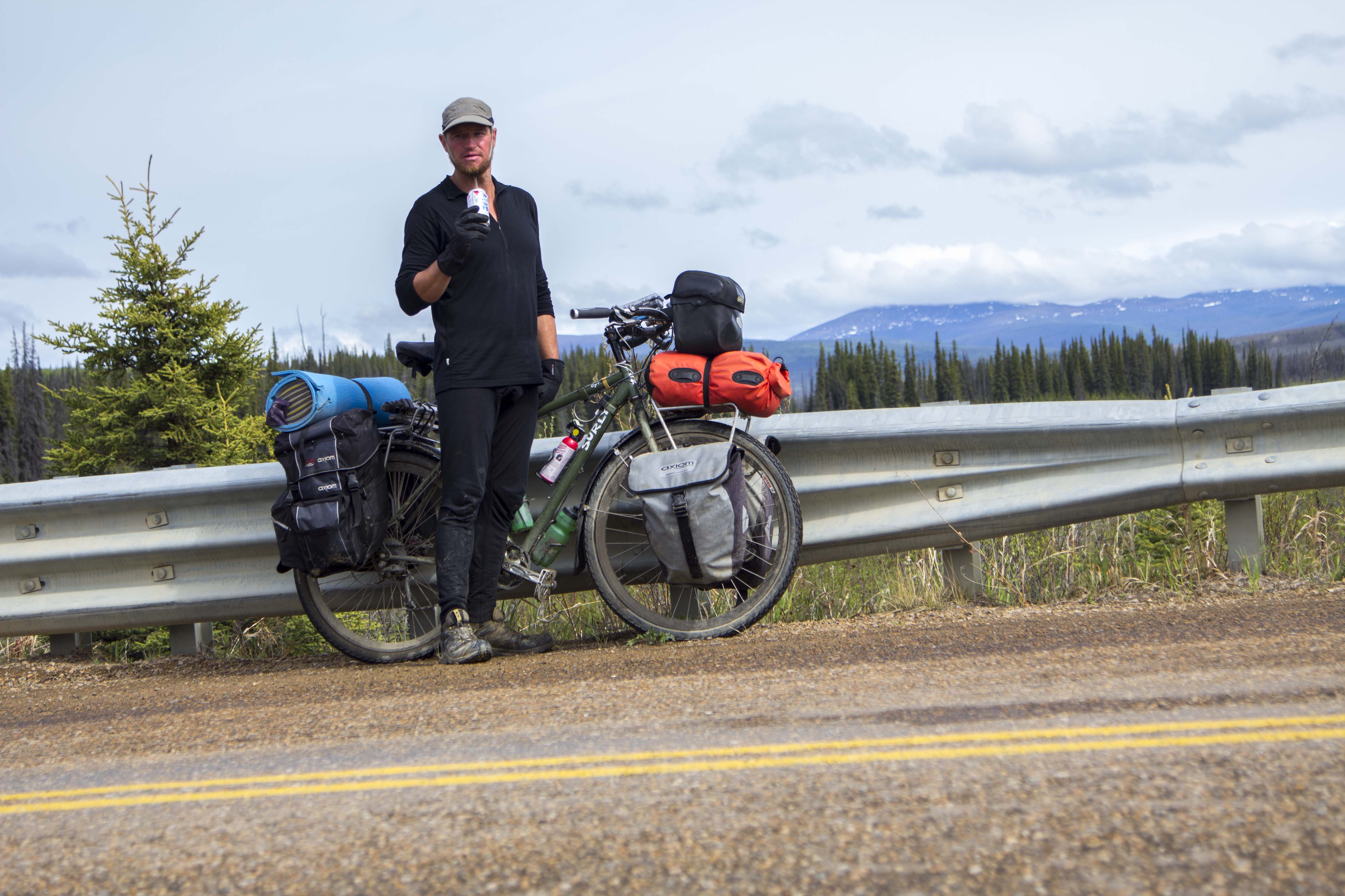
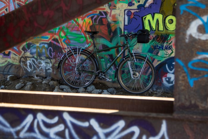
Smithers is a great little mountain town that blows doors on ANY Colorado or California mountain town. I would live here if I could… A couple of days later and I am on the fabled Cassiar Highway, one of two routes to the Yukon and Alaska. It is the more westerly, and remote of the two. The other option is the lower Alaska Highway. With only one re-supply near the end, I load up with 9 days of food and commit myself.

The first night, I pulled into an open area near the road and spot a dead grizzly, shot I presume. I am too tired and wet from a full day of rain to look elsewhere to camp, so I camp. I become intensely paranoid of the bears and sleep with one eye open.

Over the next 8 days, I witness some of the most remote and incredible scenery and wildlife one can see from a paved road. Big, glaciated, peaks, bears, moose, eagles, rivers, lakes. It bring tears to my eyes the natural balance I see before me, and makes think hard on where the human race is headed and why. There is much craziness in the world, but not here. Everything is as it should be.

img_4067.jpg

Eventually, I come to the Alaska Highway, and pouring rain for many days. Riding a bicycle this far, this many miles, this many hours, in this much rain does funny things to ones mind. It MAKES you take a really hard look at yourself and the world around you. It is tough. I’m enlightened as I pass through Tesli, Yukon, and talk with some of the first nation people. They tell me of life in the North Country – of hunting and fishing, and of living through the long winters.

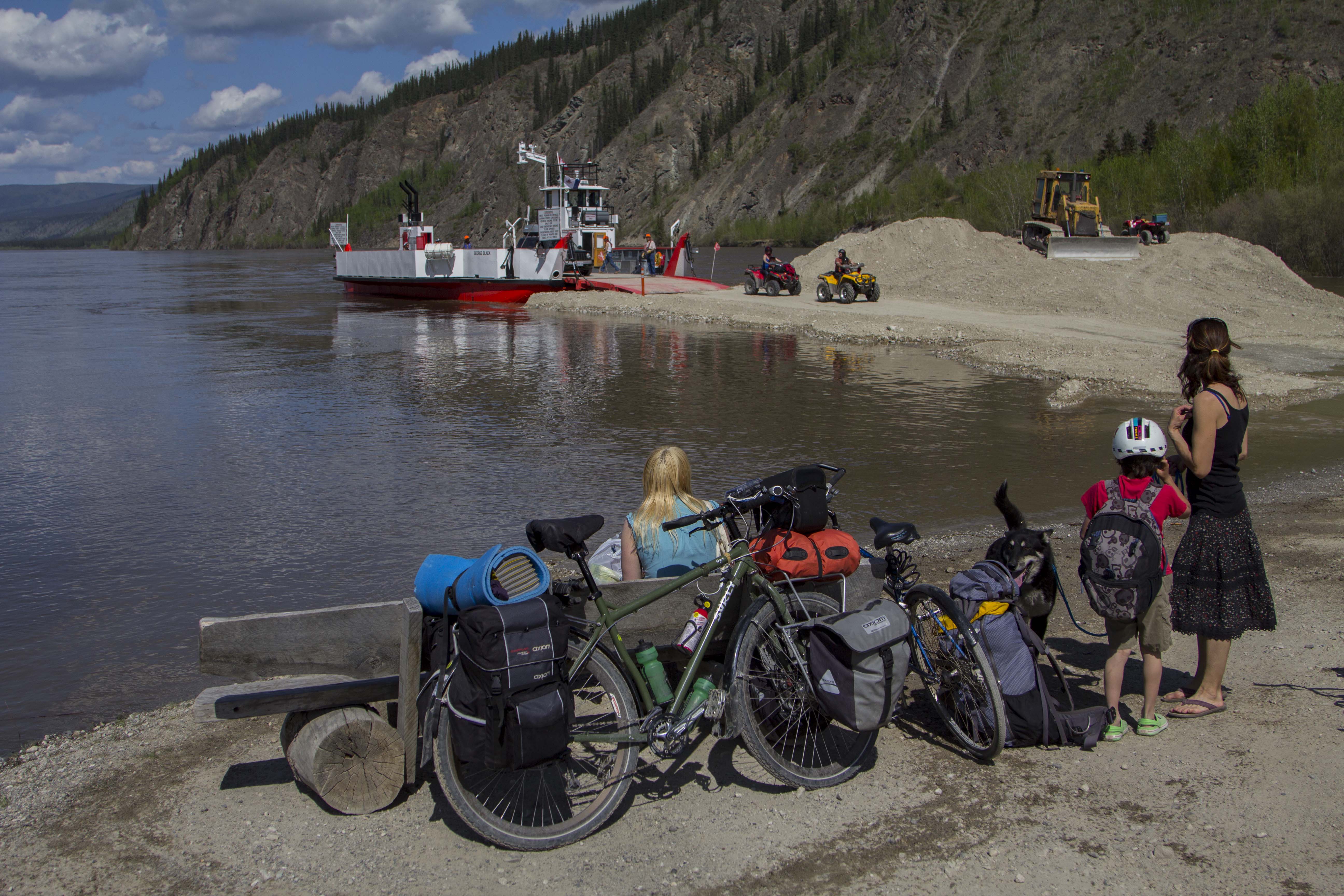
Finally I roll into Whitehorse! The sky is blue over the mighty Yukon River.. it is the first nice day in a week and I am glad to be ALIVE! Well, I am now in and have been for a while, hangin’ in the AK… I love it here. I think my last update was in Whitehorse, so a lot has happened since…

After gearing up, so to speak, in Whitehorse, I pedaled up one of Alaska Highway’s worst sections.. frost heave has tore up the road surface so bad that it is not even a close relative of pavement anymore; furthermore, RV’s SUV’s, and Semi’s all seem to want to SPEED UP, rather than slow down, spraying me with gravel. Luckily this only lasts for 10 or 15 miles, and the magic road re appears.

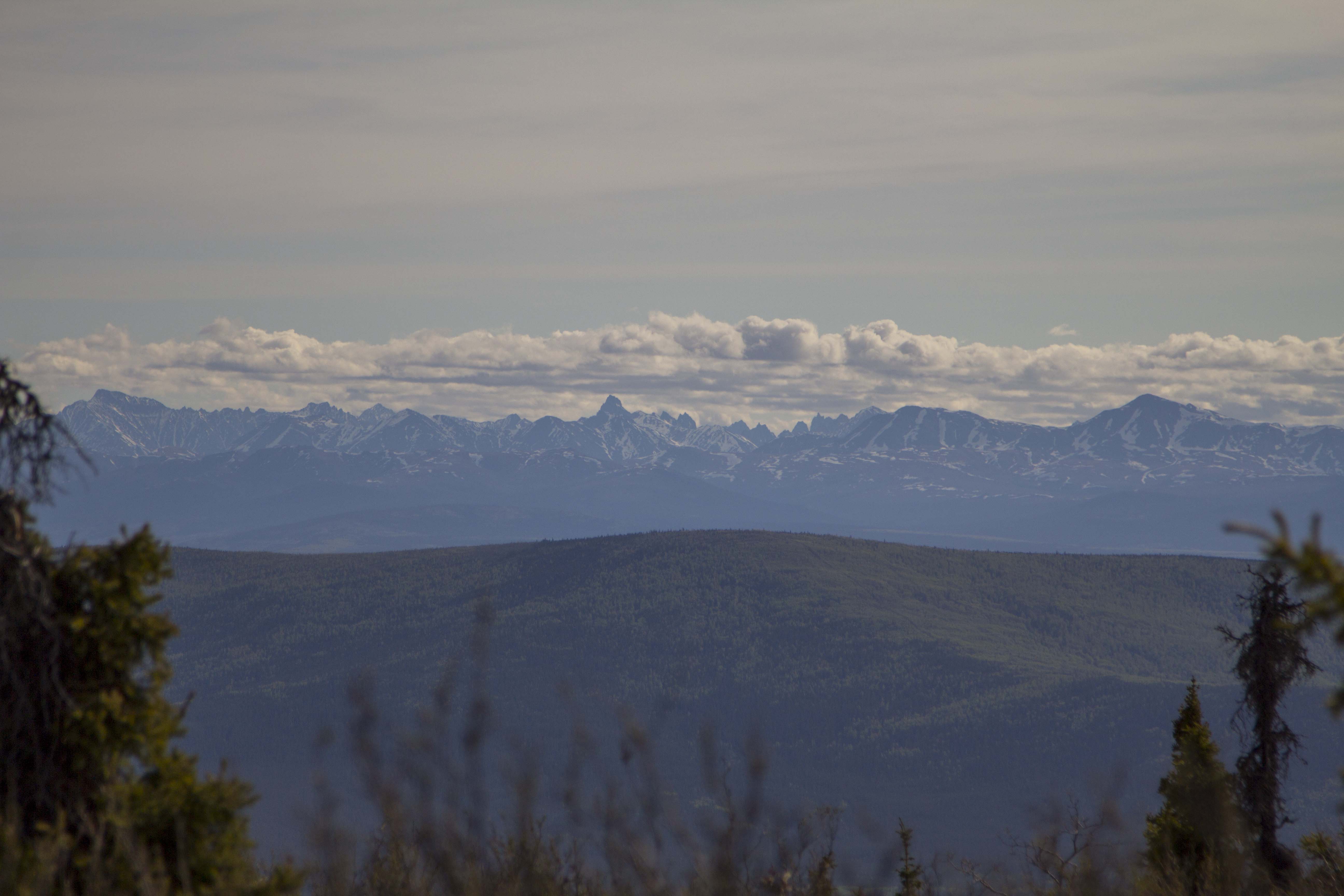
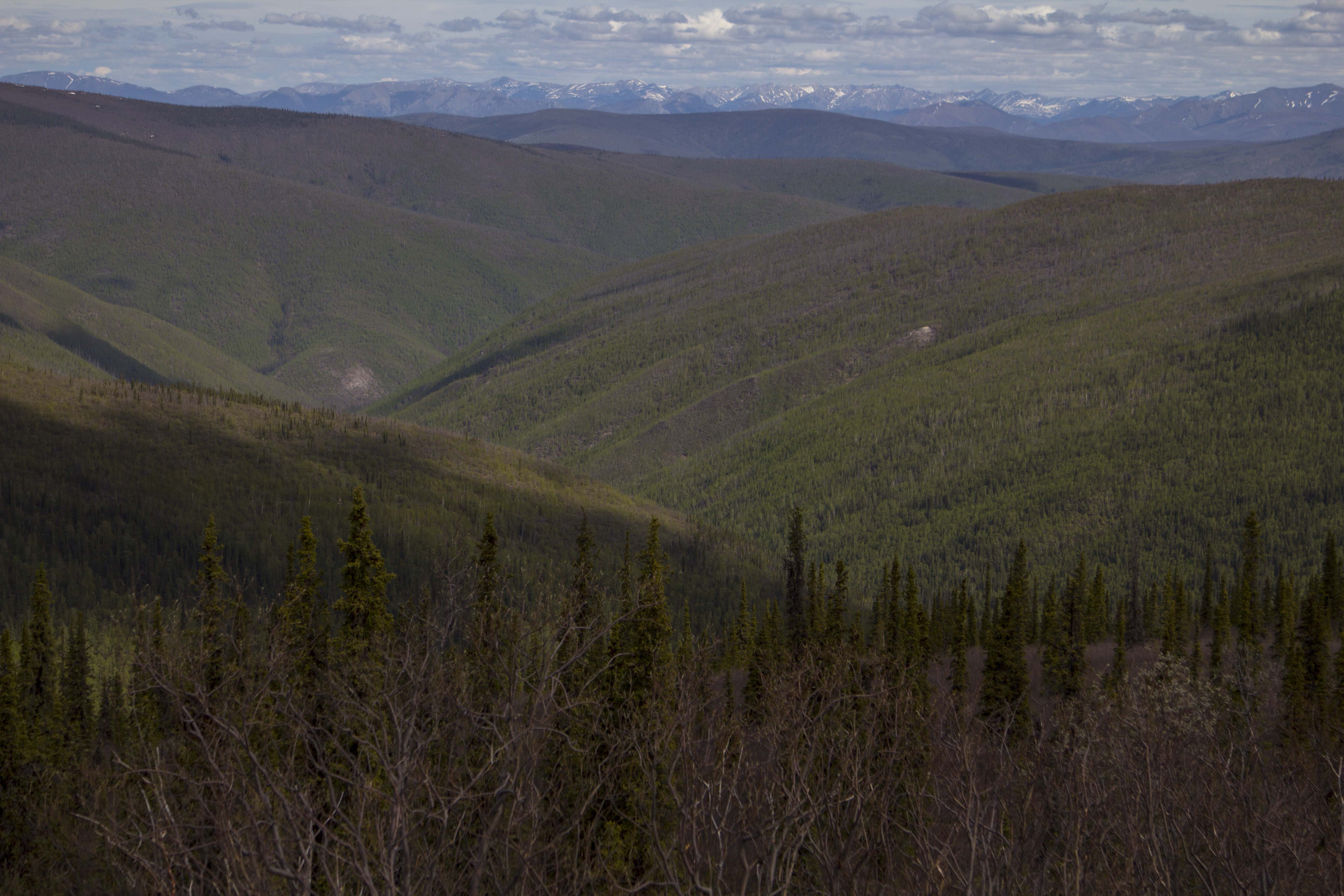
About a day out of Whitehorse is where things began to change dramatically for me, in terms of country side, and therefore, pedaling bliss. This is where I begin to see signs of granite and big mountains appear, bearing the gift of glaciers.

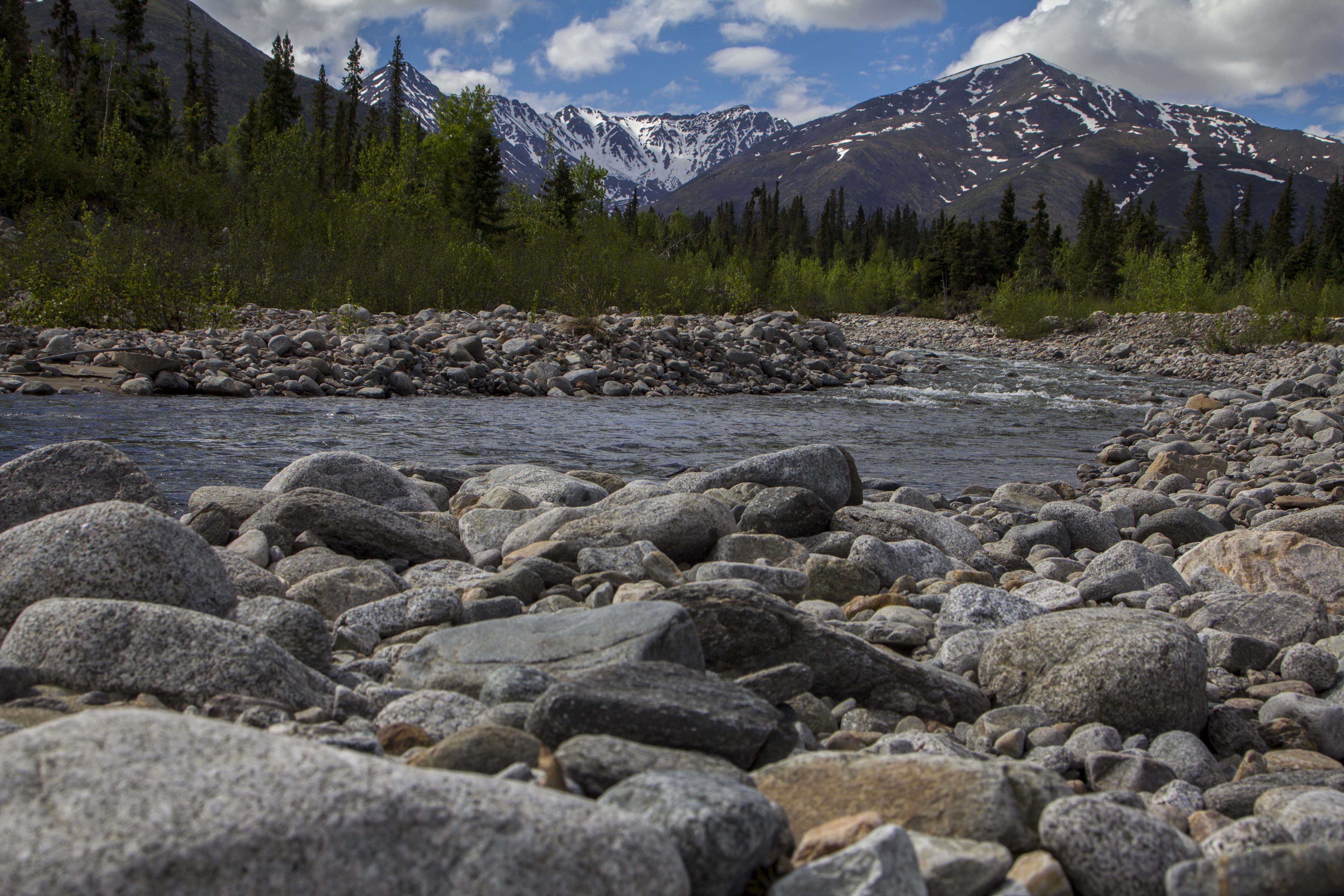
I arrive in Haines Junction, what a nice little town with a fabulous bakery to boot. Up against Haines Junction, is the Kluane Range, a “front range”, or interior range of the Mighty St. Elias, the second largest chain of mountains on the continent and sporting the western hemispheres largest glaciers. It is remote and magnificent. For the next several days, I pedal along side the St Elias, and it’s largest glacial fed lake, Kluane Lake. This place is very remote feeling, and it’s people are mostly of 1st nation Natives, of whom’s company I came to immensely enjoy.

IMG_1359

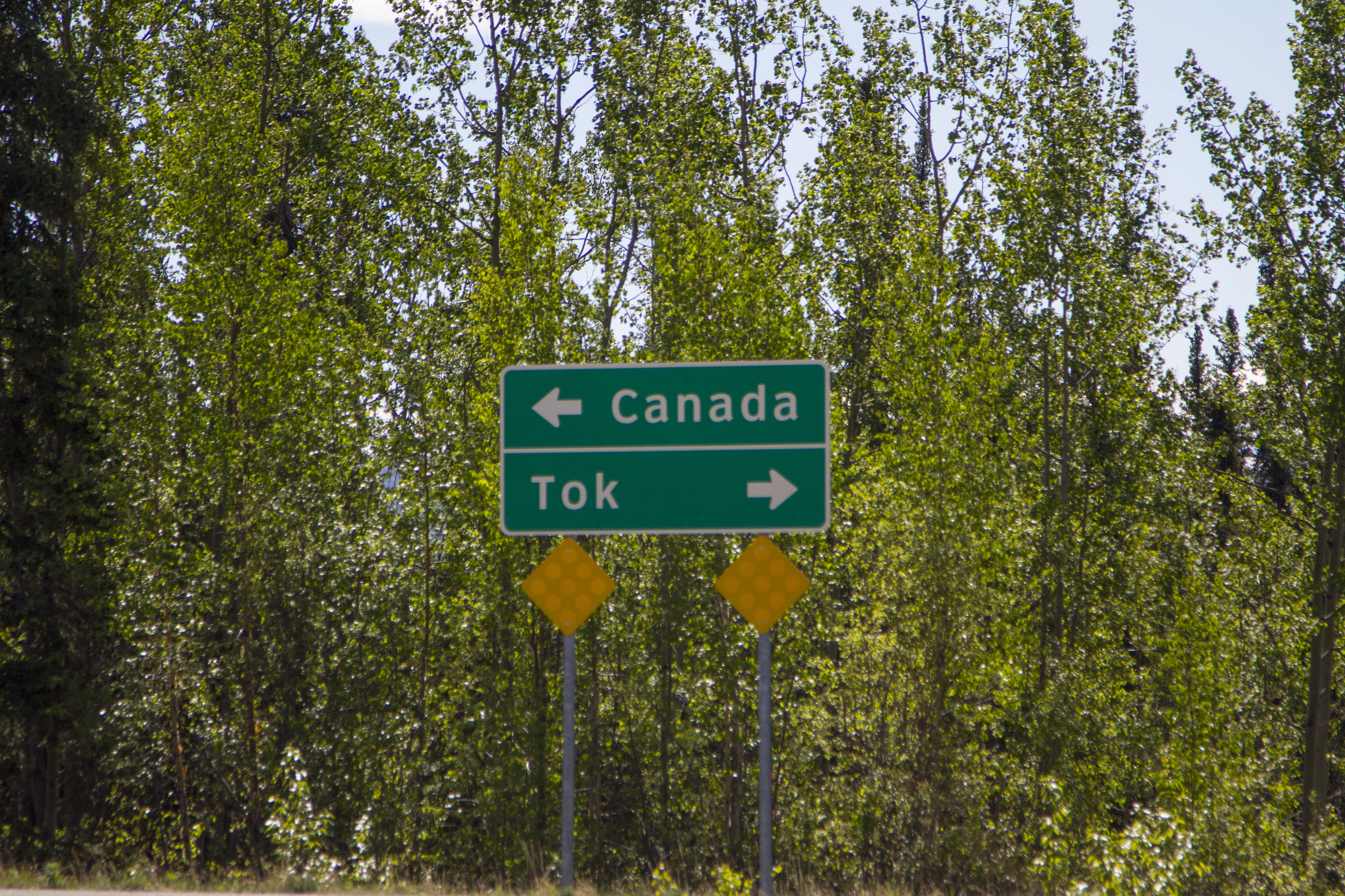
After leaving the Kluane area, the Alaska Border became an obsession, as this part of the Yukon began feeling stagnant, and some of the worst people I met

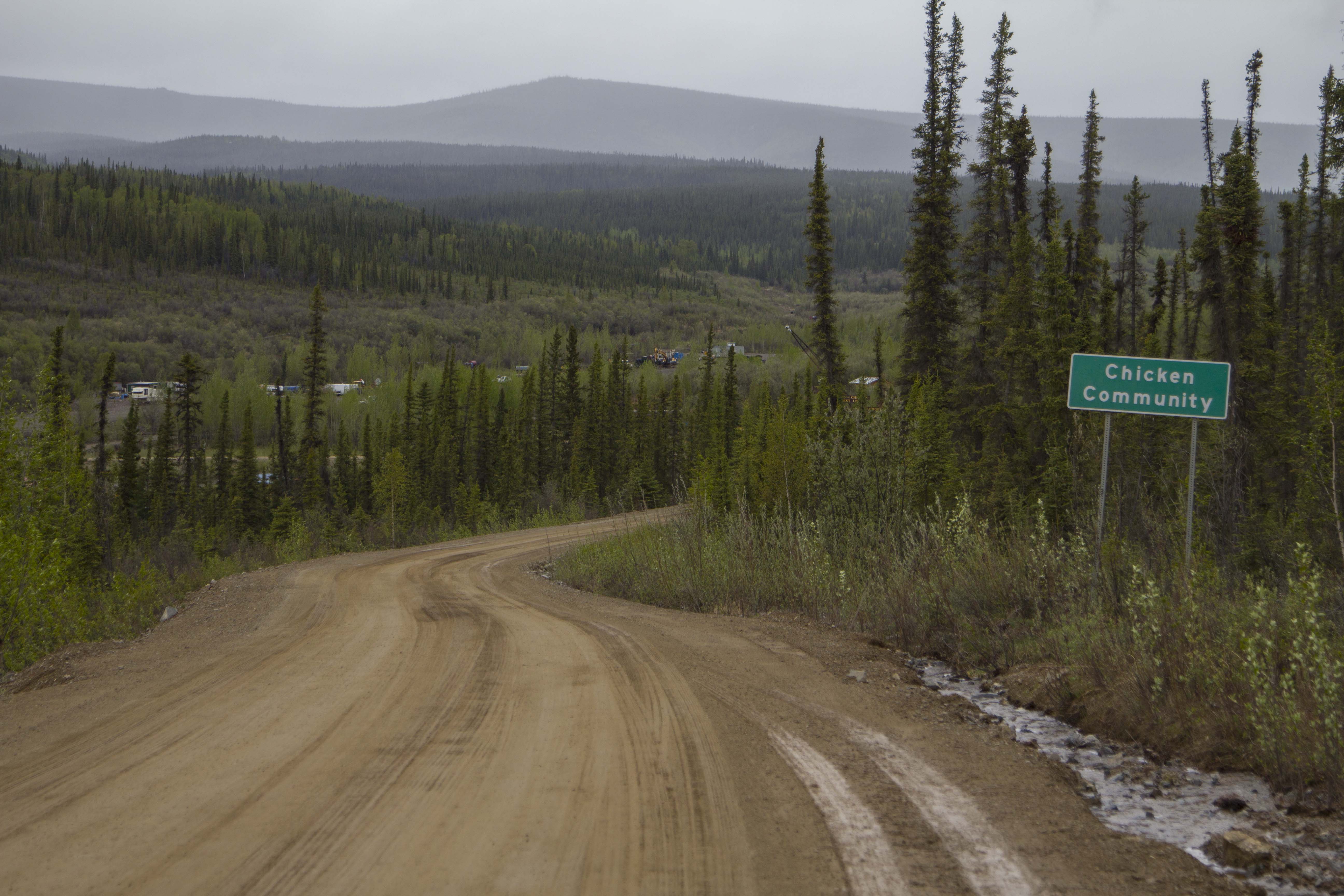
on the trip seemed to inhabit this area.. I am not talking about Native People’s, mind you… Finally arriving in Alaska, It begins to rain a rain that only Alaska is famous for, and for the next 8 days it did so. I spent a couple of days in Tok, relaxing and checking things out. I stocked up on food, since I was now in “cheap” Alaska, compared to northern B.C. and the Yukon. In fact, financially, Canada just about bled me dry…

Up to Delta Junction and down the Richardson Highway, I ride and push my bike into the backcountry to an area known as Rainbow Ridge; 8 miles back and I find myself standing above the awesome, Cantwell Glacier. I stay here for 3 days, and manage to get back even further, to yet another glacier and bag a 3rd class granite “spire”. I am enthralled at the beauty and descend in a storm that chases me back to my tent and a victory cocktail!

IMG_1496

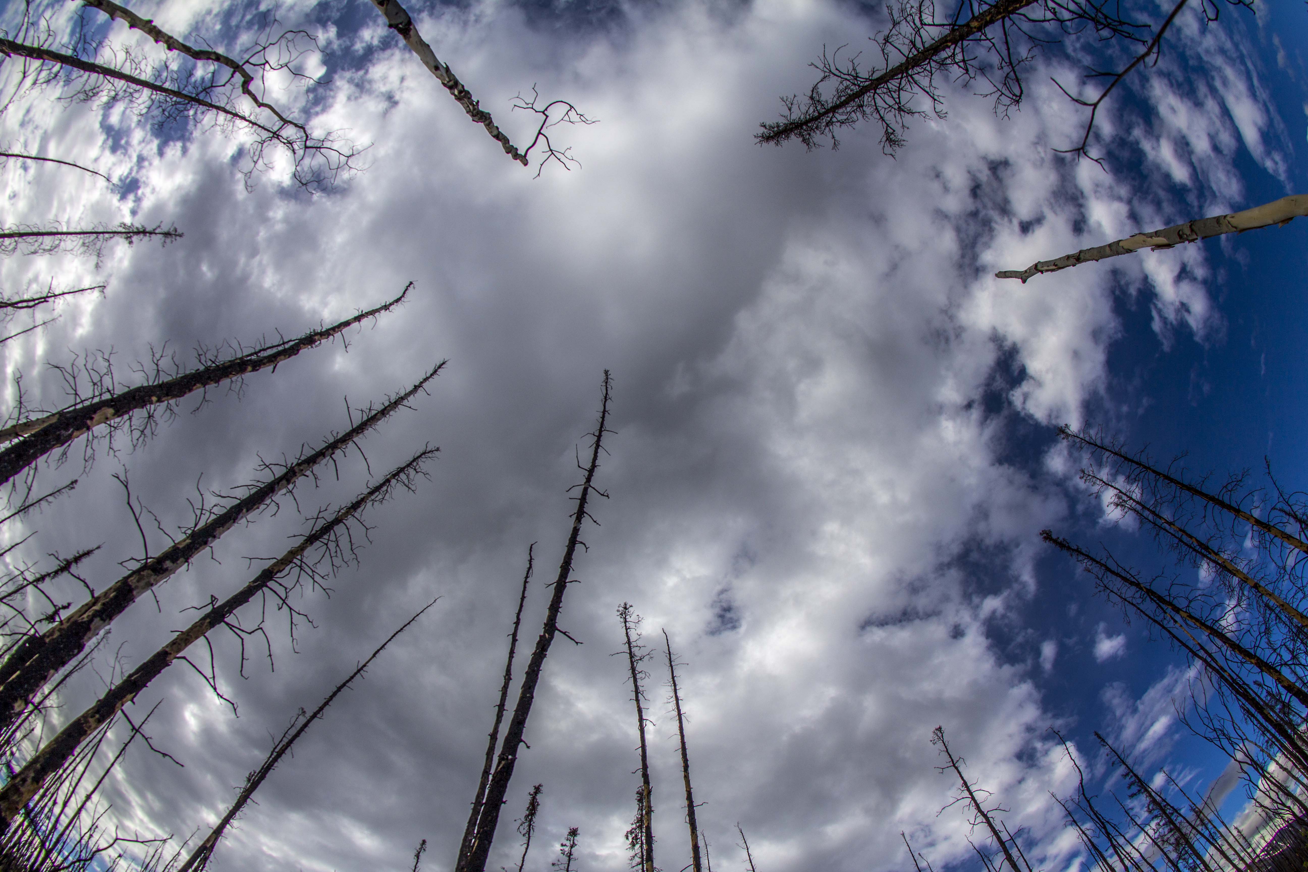
The journey continues, and I am now at the meat and potatoes of this trip: The Denali Highway. The Denali Highway is 135 miles long and 110 of that are gravel and traverses the entire central Alaska Range, covering some of the most spectacular scenery Alaska has to offer. I take 4 and a half days to cover this ground, and spend an entire day and a half camped atop a ridge overlooking the Susitna River Headwaters, the Susitna Glacier, the West Fork Glacier, Mt Hess, and finally, the AWESOME Mt Deborah. Mt Deborah is a peak that I want to climb incredibly bad. It is a haunting sight to my eyes. It is a peak that David Roberts also obsessed over, both in climbing it and writing about in the sixties.

I am camped on this ridge primarily for one reason; to capture a striking Timelapse sequence of the mountain in question. Unfortunately, as is usual in the Alaska Range, the view is obscured by clouds. I shoot what photos I can and by 11:30 pm I am asleep. The rain stops, and at 1:30 am, the clouds begin to part and the weary Alaskan Sun begins to “set”. As this sequence unfolds, Mt Deborah and Mt Hess appear, Alaskan giants, Himalayan in size, and engulfed in a red, sunset hue, Alaskan Style. I cry hard…

IMG_4324

This is what I came here for. The feeling of seeing these unbelievable peaks is overwhelming to me and I cannot fully express what it is exactly what they mean to me.

I finally get to the end of The Denali highway, and , I am in luck because Denali herself appears! The roof of North America, and one of the largest peaks

on Earth, I only see her summit poking from the clouds. That would be the only time I would see Denali on this trip…

The next few days are a blur to me, of rain and monotony as approach the populated southern coast of Alaska and leave behind the Alaska Range that means so very much to me… So, I guess for the time being, I now reside in Eagle River AK. It is about 12 miles north of Anchorage. I have a small job here, working on decrepit bicycles and splitting firewood for the campground guests.. at 9 bucks an hour , I’m not going to get out of Alaska and down the west coast as planned; perhaps something will arise unexpectedly…

IMG_4399

I went for a long walk by the river and through the forest yesterday, looking for inspiration and beauty. I was looking down, examining some strange markings on the ground, when I looked up, a mighty cow Moose was standing no more than 10 feet away, slurpping up forest foliage. I had heard of her, yesterday, from some campers, and here she is… one leg, her front right is badly injured. Broken from the looks of it. The strange ground markings I had spotted, were, in fact, the hook of said leg, dragging on the forest floor. I spoke to her softly for a bit and wished her healing energy. Then I said goodbye… If her leg does not heal, she will not make it through the rapidly approaching winter; she will be wolf food. When I returned to my camp, the front mosquito netting on my tent door was gashed open from a familliar black bear and her cubs I had soon so many times in the last few days. Today my goal is to repair this as the skeeters are pouring in…

IMG_4775

Well, all said and done, this adventure was extraordinary, beautiful, difficult, and not really long enough, but the reality for me at this point is that I am out of financial means, and my family is beckoning my help as a carpenter to get some much needed work completed. My sister and her fiance bought a house and it needs much work… My Grandmother passed away last fall and her house is badly in need of repair in order to sell, and last but not least, my Mom’s house is in need of some attention as well… once these jobs are completed, I can begin figuring out how to make money for my next trip into the Great North Country…

My last update was some time back… I guess that my writing ability has vanished along with my trip. I now sit at the computer, away from the wilds I have kept so close to my heart, and now must “force” the creative juices flowing, onward, to my keyboard. I sat in Whittier, Alaska, for 5 straight days, in the rain, waiting; waiting for the ferry ( the AMHS “Kenicott”) to take me down to the “panhandle” of Alaska, and onward to the Inside Passage of British Columbia, and to land at my destination at Bellingham, WA. I spent a good portion of that time either sitting in the bar or sitting in my tent, interspersed with hiking in the rain and taking photographs when it was dry enough. At one point, the damn rain stopped for an hour, just long enough to take a quick hike up to Portage Pass and check out the mind boggling scenery there… views looking down on the fabulous Portage Glacier, views out onto the Passage Canal, and alpine tundra galore, all combined with some of the best light of the trip, made for some stunning photos.

Finally boarded the Kenicott and off we go for the next 5 days to Yakatat, Juneau, Ketchikan, and the surrealistic west coast of B.C. During this time I saw Humpback Whales, Orcas, Porpoises, Salmon, and more seabirds than I’d ever seen before in my life… it was an unforgettable trip.

IMG_6575

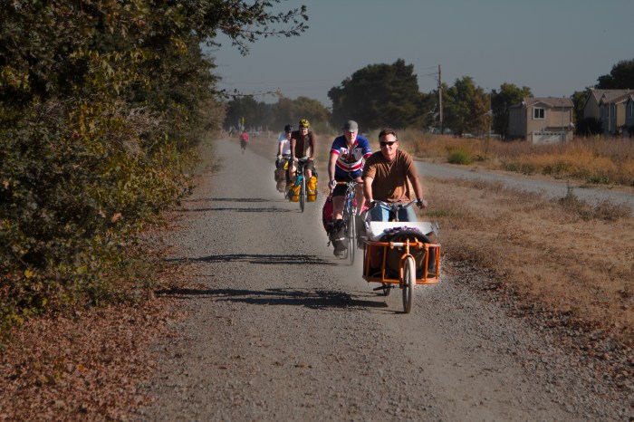
After arriving in Bellingham, I was thrown into a world that was very foreign to me… People, traffic, stop lights, dangerous roads, country roads that seemed to lead nowhere, and a grim camping situation that would last the rest of the trip. Mind you now that I consistently “wild camped”(a term that a lot of bicycle tourists seem to us; I however, do not, because to me, camping is camping, and to me, camping means FREE camping). This “wild camping” thing was challenging down here in the states with all of the aforementioned things in the way… but , having the mind of an outlaw, I managed. For two and a half weeks I pedaled down and around Washington’s Hood Canal, the coasts of Oregon and California, enjoying the scenery and smelling the ocean air, but all the while, in the back of my mind, I was the longing to return to the North Country.

PROLOGUE:

About 3 days ride from Sacramento, up in the steep mountains of Northern California’s coast range, I came across a section of road so bad, I figured it would be suicide to attempt it on a bicycle. I am talking about Hwy 36 that connects Eureka on the coast to Red Bluff in the northern central valley. I spent two half days negotiating this spectacular road, and on the 2nd morning I got up and had every intention of finishing my ride, when I thought I might die when a log truck nearly creamed me. This road has 4 MAJOR summits, 12% grades. NO shoulder, with Redwoods growing right to the pavements edge, about a lane wide and HEAVY log truck traffic. I decided to put my thumb out and after a couple of short lifts, I ran into a couple from Roseville CA (basically, Sacramento) who offered me a ride ALL THE WAY to Sac… I took it.

IMG_6821

Now I am living in the city, up to my old tricks as a carpenter and trying to get involved in my other passion of film making and post production activities. This new concept is very alien to me, yet it is good to be around my family once again. I have not forgotten the North Country, in fact am downright foaming at the mouth at the thought of returning there in the spring…

I am reading a book entitled: “THE LAST FRONTIERSMAN”, which is about a man named Heimo and his family that live year ’round in the remote N.E. corner of the Alaskan Arctic… it is enough to keep me from forgetting.