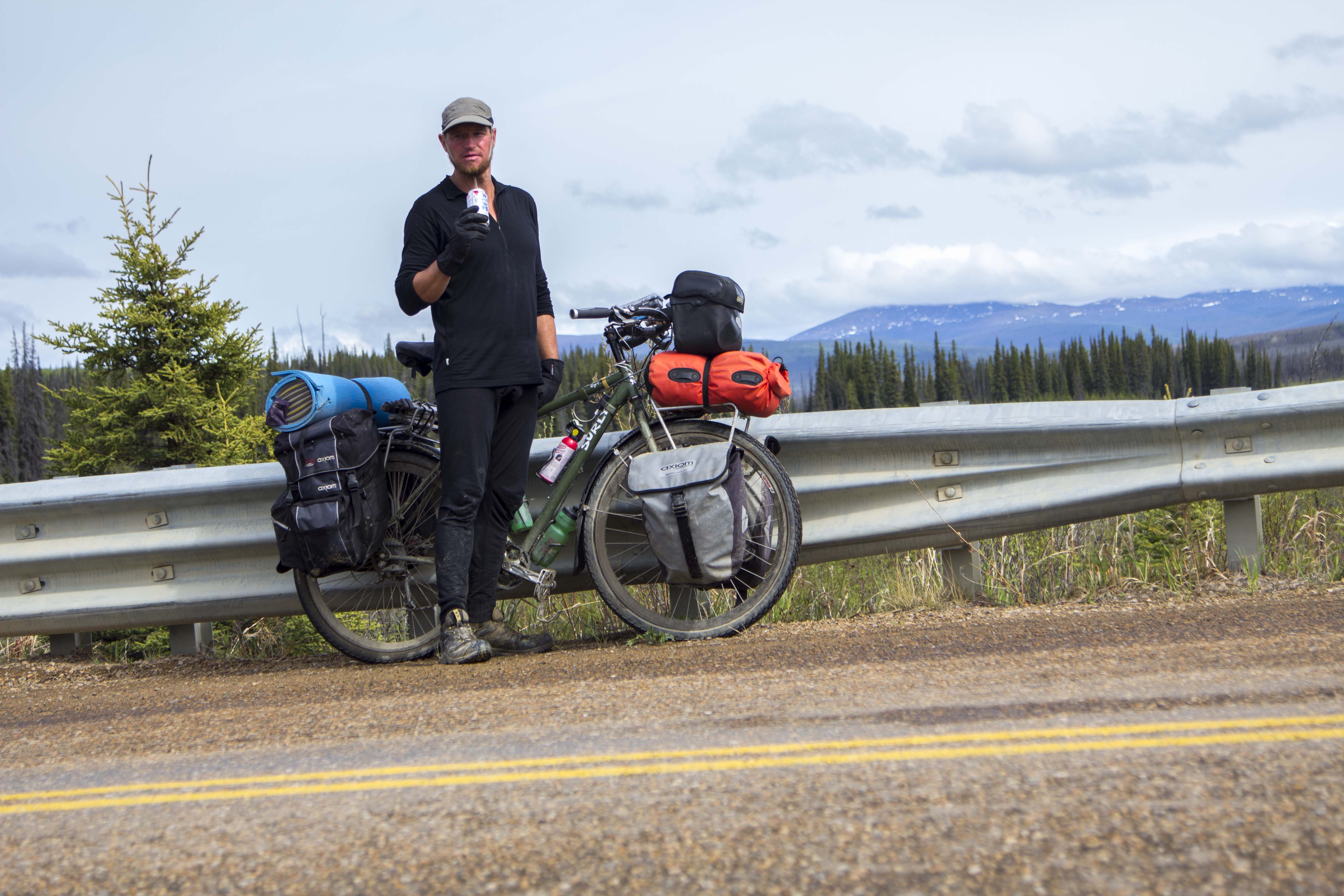
That morning, leaving Fairbanks, in the dark, I had to concentrate enormously on the snowy, icy road. Two weeks prior I had an apiphany: I had to leave and go to Haines to make a life for myself and Angela. My job here, caring for and training 30 dogs was a mixed bag for me. I loved the dogs and I loved the forest and Sven’s beautiful cabin, and the quite and the solitude. But it was a seven days a week gig with little pay, and it was not Haines, which is where I wanted to be. Leaving, unfortunately, has damaged my friendship with Sven, a man whom I respect a great deal. So on the road I am, once again. Excitment now fills my heart as I pull away from Fairbanks, headed south, bound for Alaska’s northern panhandle.
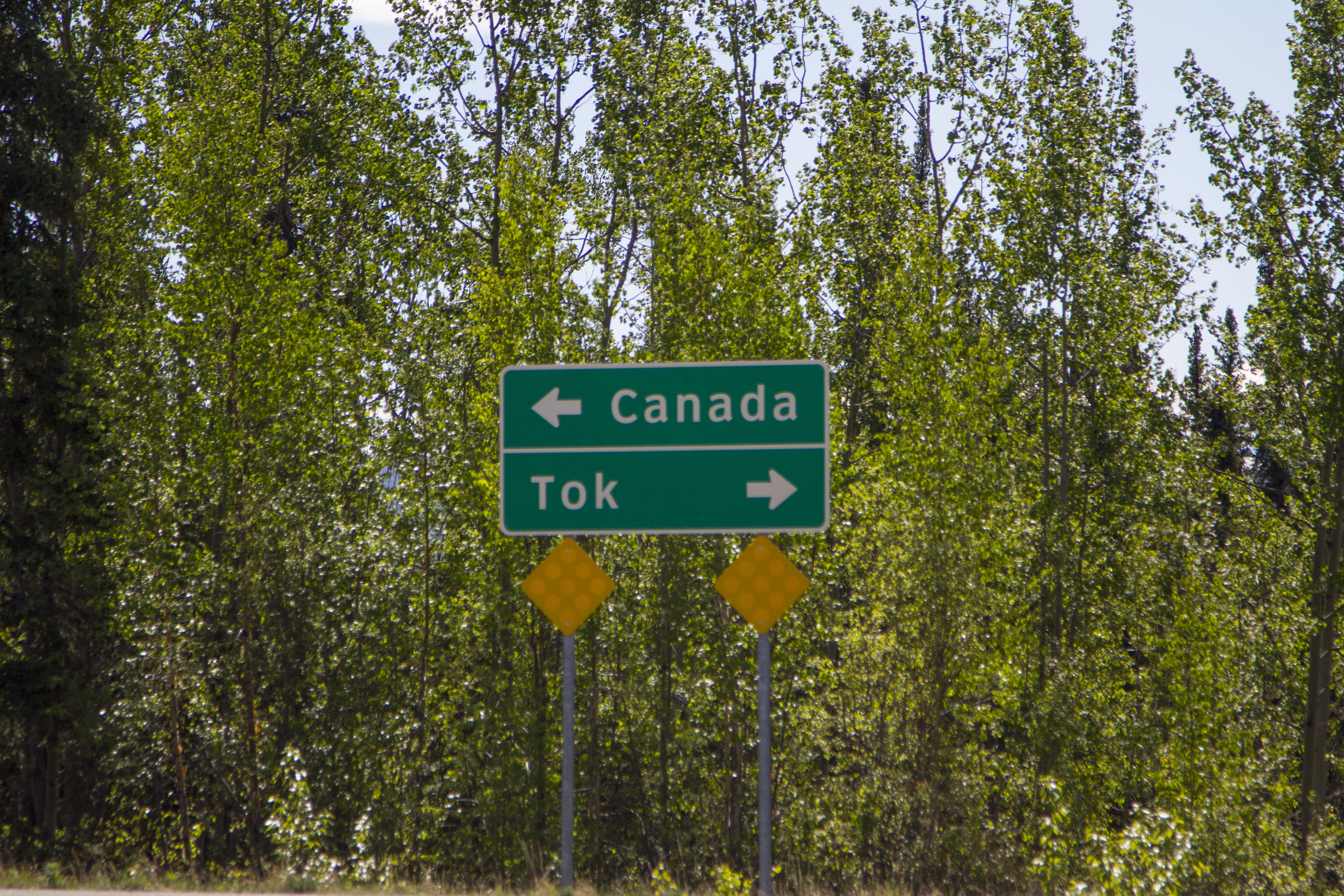
It is 22 degrees, snowing lightly and the traffic thin. It is November 1st, 2013. I drive south, through Delta Junction, the scene of an earlier disaster back in June, whene I had lost an envelope containing my life savings; a sum of nearly 4000 dollars. I had a crazy idea or two that I might actually find the missing envelope in one of perhaps three places I could think of: A road side pullout, with views of the omnipotent Alaska Range, where a picture was taken on that day, a creek where a bath had been taken, a campspot in the woods near Tok, where I had spent two nights regrouping. Searching these places for my goods felt both empowering and futile at the same time. I was looking for a needle in the gigantic haystack of Alaska. I pull into Tok and proceed to walk to my usual camp there, located adjecent to the school in the woods near the edge of town. It is a nice spot and it feels somewhat like home to me. However, the envelope was not recovered, and on I went.
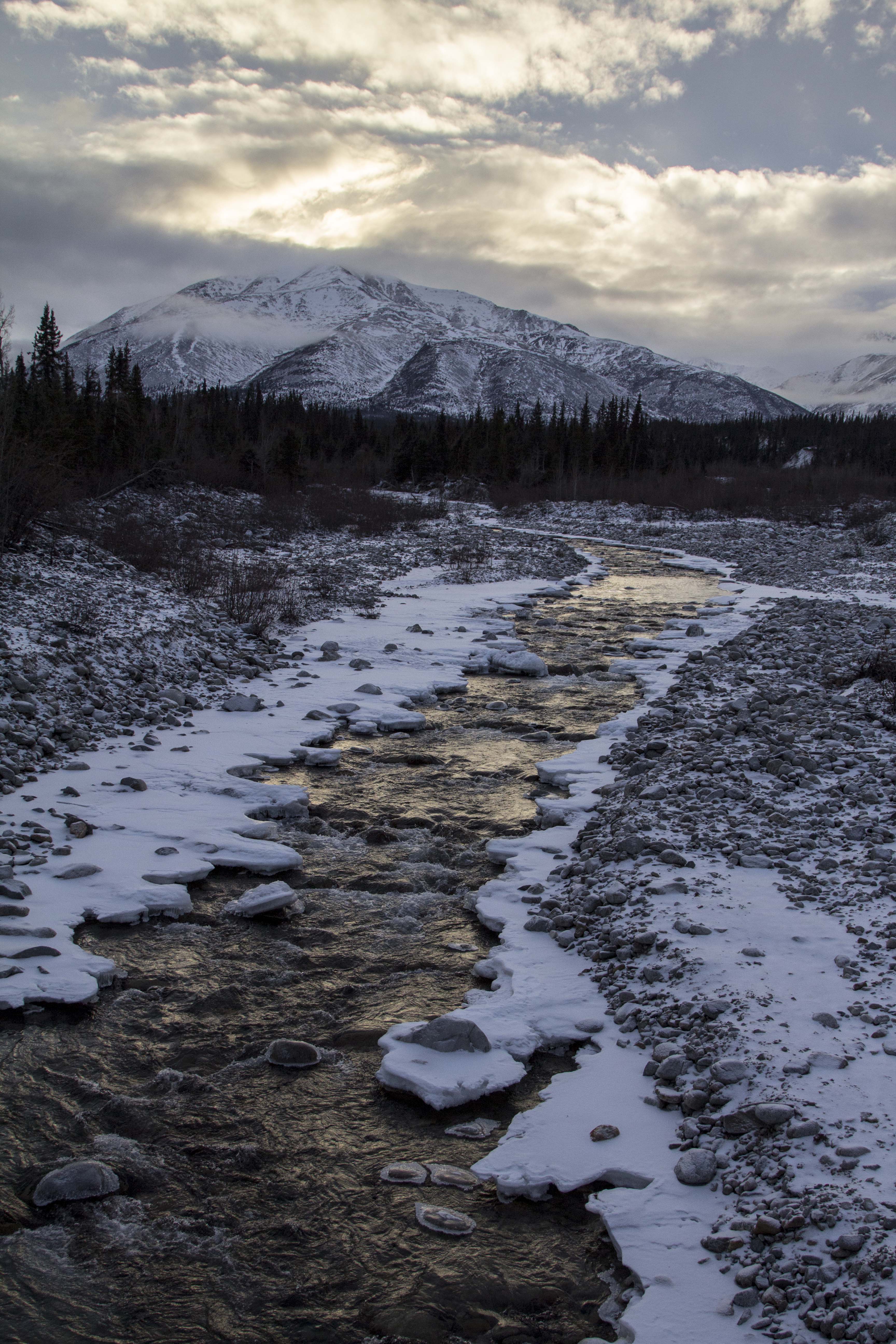
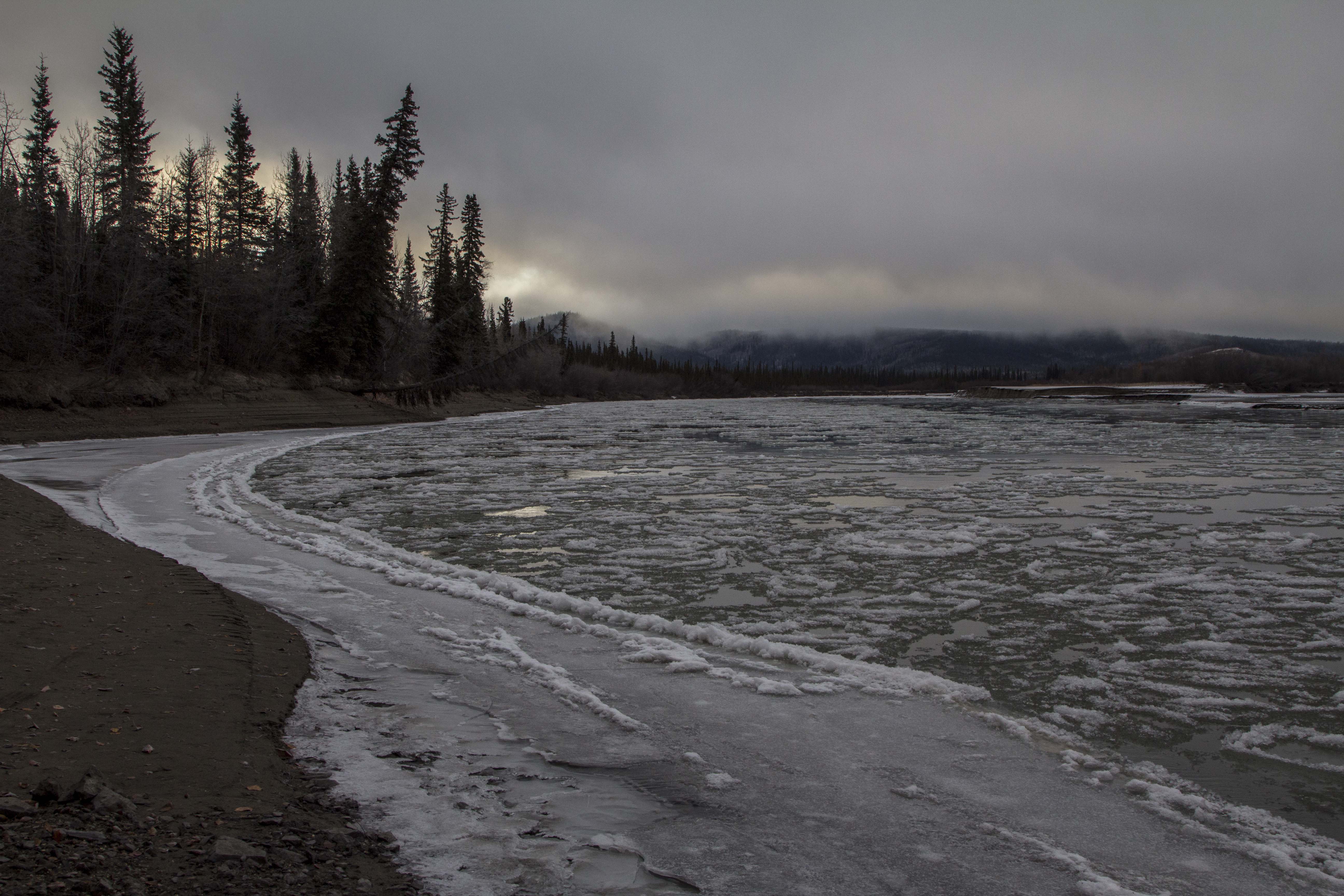
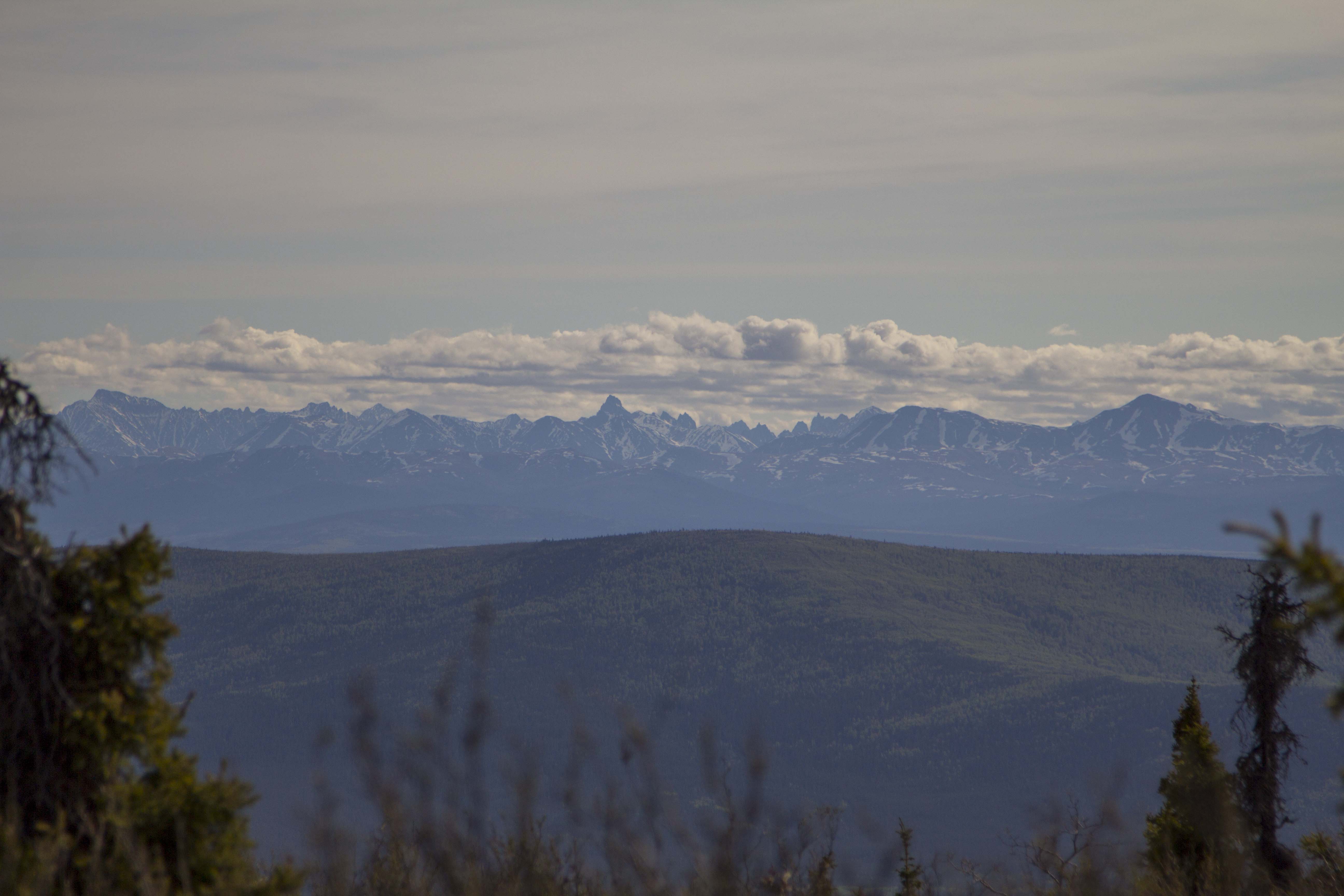
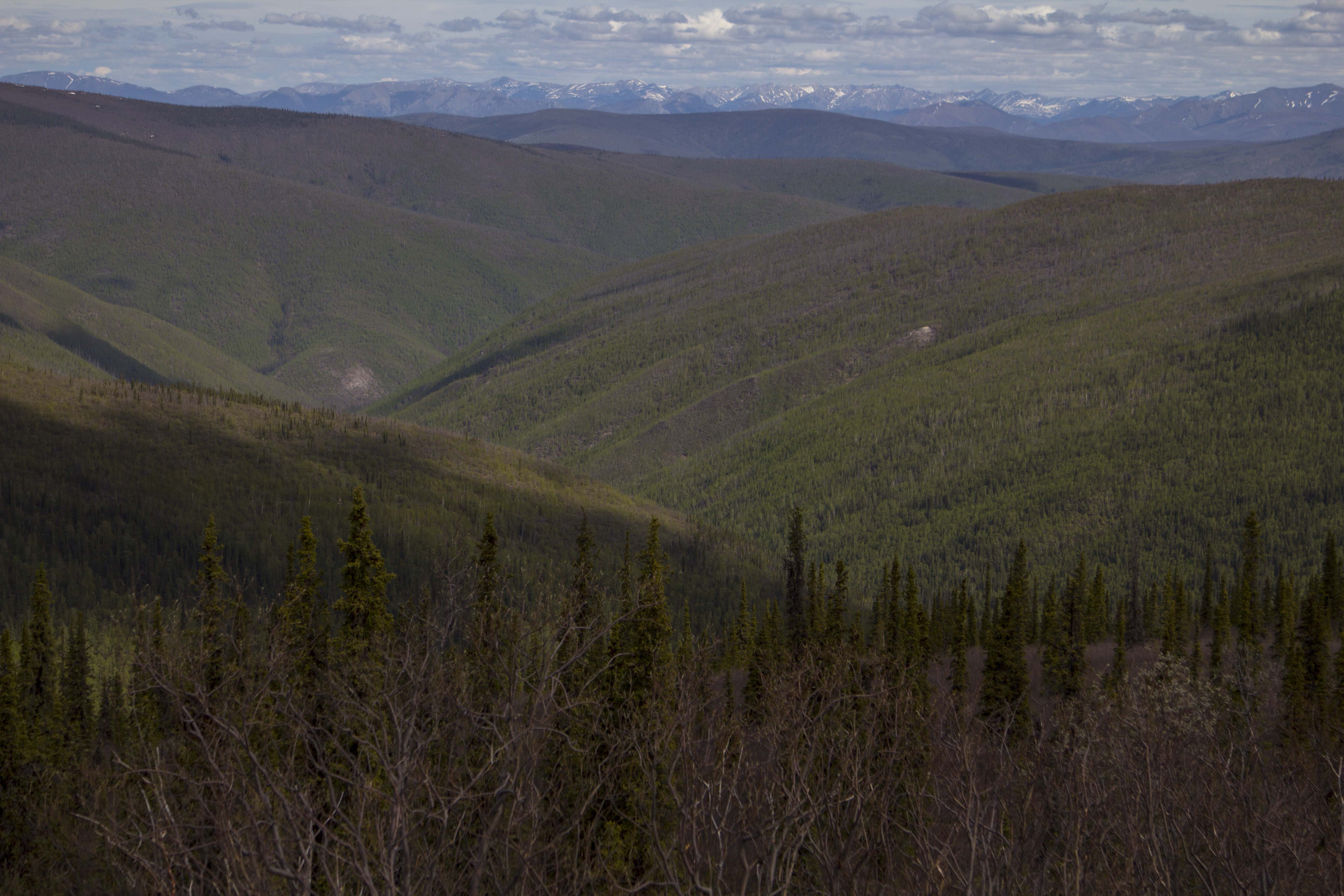
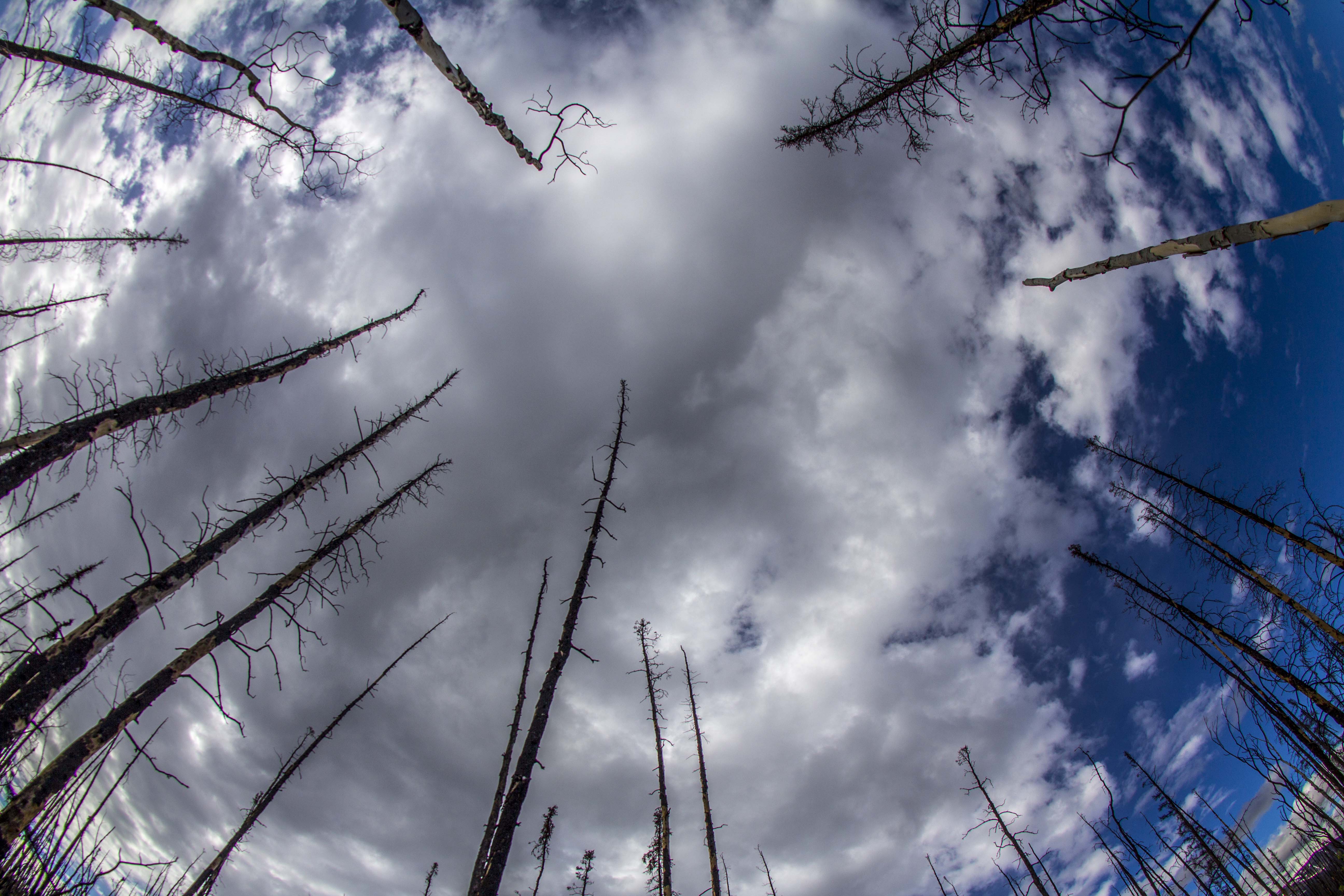
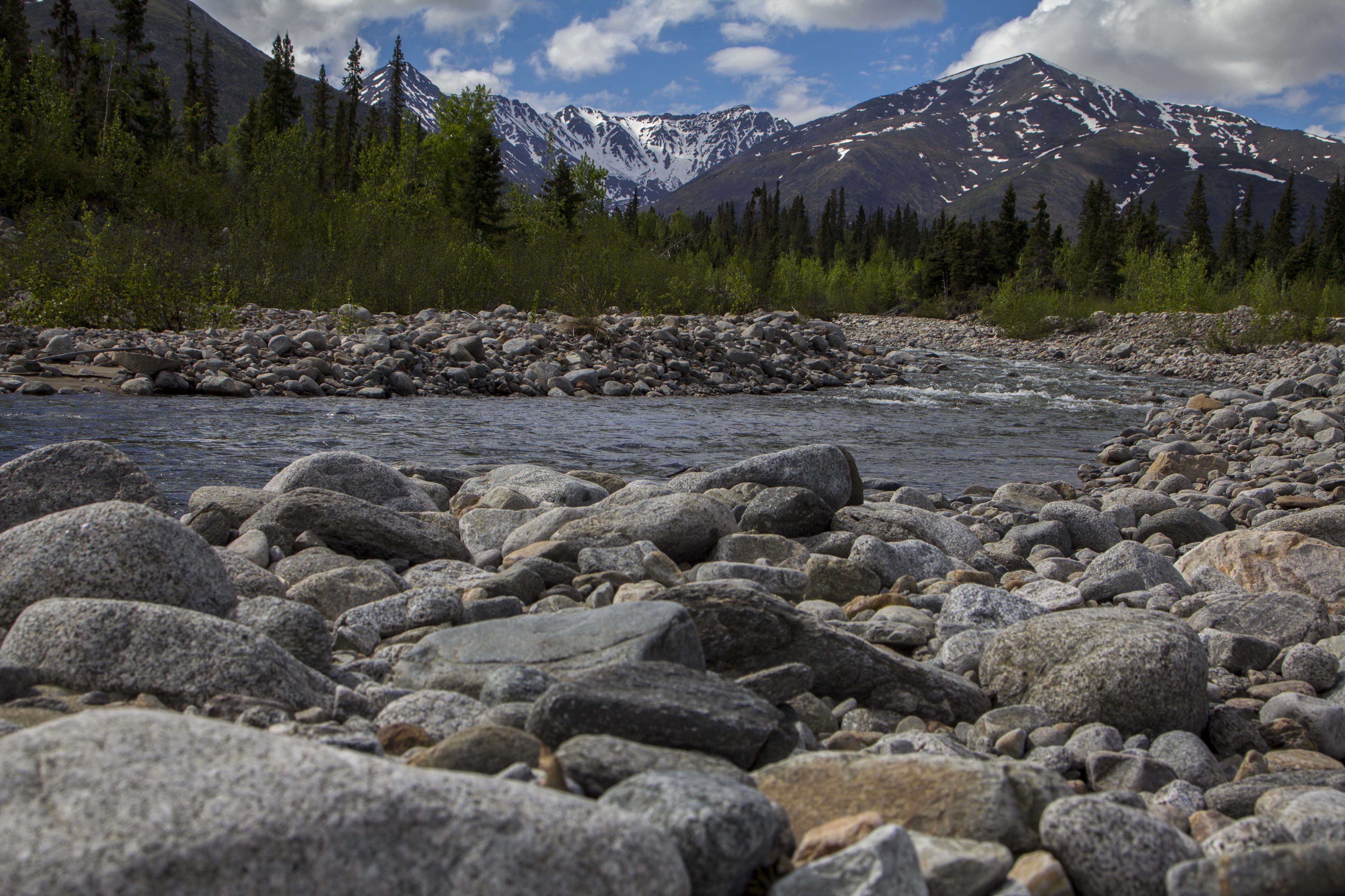
On the way from Delta to Tok, one becomes the Alaska Range. Mountains and streams appear, high counrty unfolds. It feels good to be in the highlands once again, and out of the beautiful but routine forest of the Fairbanks area. Being in the area of Tok, I am reminded how much I love this part of Alaska; it truly is one of my favorite places. The white spruce forests here are remarkable, the creeks and streams clear, the rivers deep, and the Alaska Range towering. It is a deeply beautiful and spiritual place to me. Earlier in the summer, I had stopped the bicycle to gaze upon a lone moose fiording the mighty Tanana River, keeping her head high and swimming madly. Southward I continue. Stopping for a walk along the icy banks of the Chisana River, I am gifted the sight of wolf tracks; mother and cub, traveling the river corridor, hunting and living the life they were born to live. The morning is crisp and cold and the Chisana is forming a skin of ice that looks as though could be walked upon but cannot. A breeze picks up a bit and it is getting colder still. I bushwack back to the truck and point it southeast, towards the Yukon border. After crossing, I see the sights of the mightiest Black Spruce Taiga forests I have ever seen. I remeber these from riding this part of the Alaska Highway back in 2011. Tha taiga goes on everlasting and my heart soars at it’s perseverance.
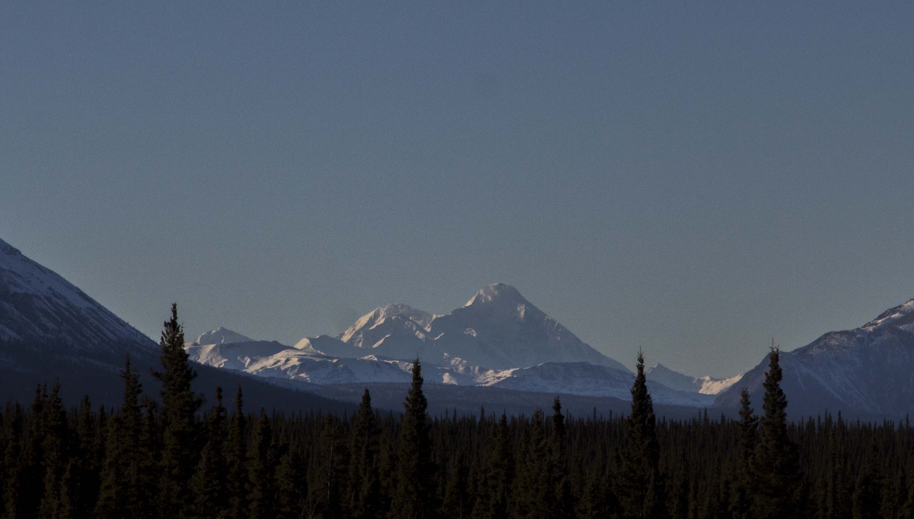
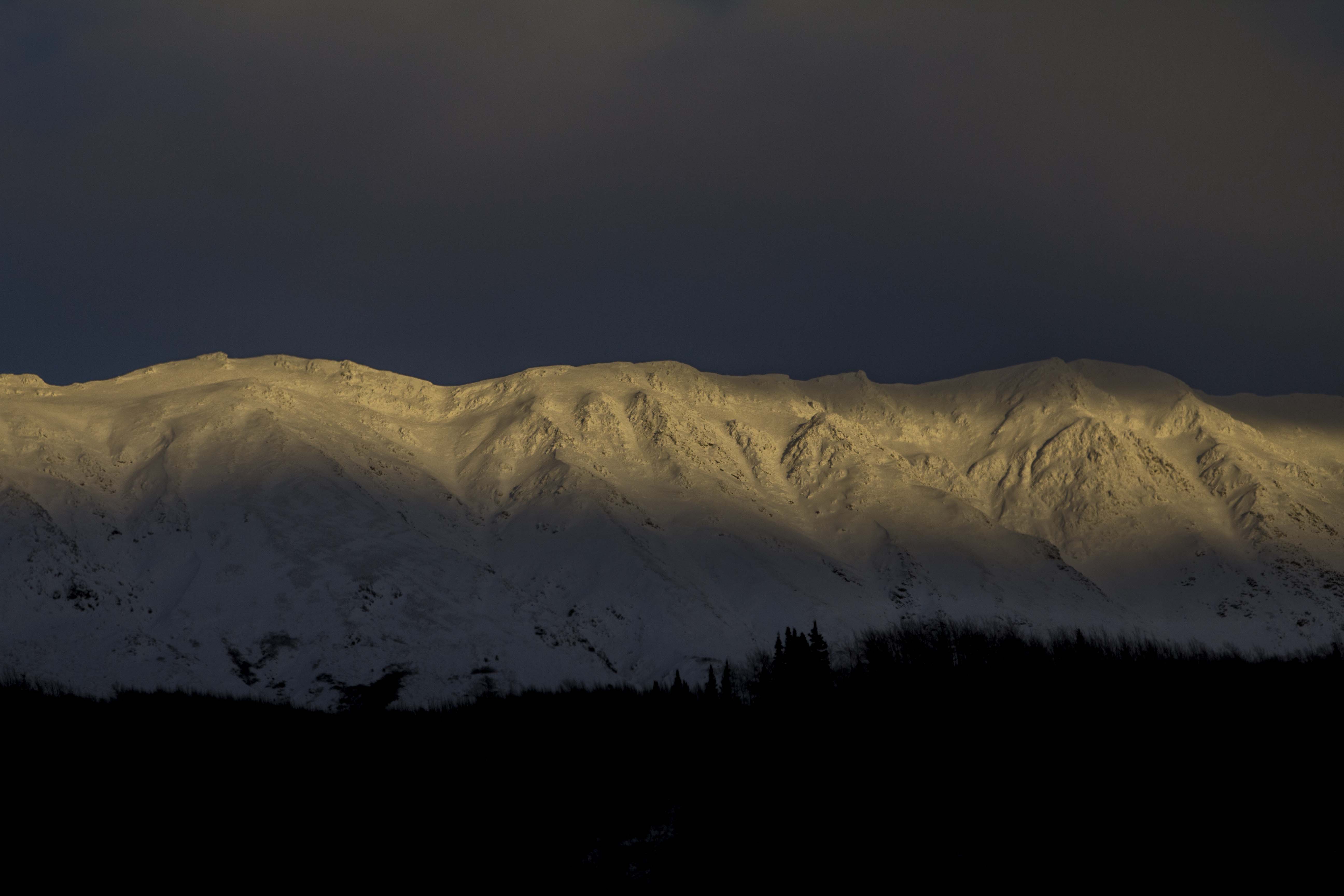
Eventually, I pull of the highway and drive up a small dirt road to a high point with a view. It is exactly what I had hoped for. From this vatage point, I can see all of the major peaks of the Icefield region of the Northern St Elias Range: Mt Luciana 17,147′, Mt Steele 16,644′ Mt Wood 17,000+, and several other unamed 15,000-16,000 footers. This section of mountains, the St Elias, and physically connected to the Wrangel Mountains in Southeast Alaska, is the largest chain of mountains in North America. The Alaska Range, though sporting the Queen Denali, and nearly 600 miles long, is still smaller than the Wrangel/St Elias. These Mountains are the real deal: Big, bad, remote and heavilly glaciated. In fact, the St Elias, the area surrounding Mt Logan in particular, contains the western hemispheres largest non polar glaciers.
I arrive, a bit later, at the hamlet of Haines Junction. With friendly folks, views of the tremendoulsy striking Kluane Range, and one of the best loved bakeries in North America, Haines Junction is a place I always look forward to visiting. However, upon entering town, I see first off that the great little grocey store there, the only one in town, has burned to the ground. Even worse, there is a “Closed” and “For Sale” sign on the bakery. Dissapointed, I buy 10 dollars worth of gas and head for glaciers of the Coast Range and the Chilkoot Valley, home of Haines, Alaska.
I cross the border, back into the USSR, and roll down valley, along the Chilkoot River, with forests of magnificent Sitka Spruce, Western Hemlock, Cedar and Cottonwood. I camp in a pullout, excited to see Haines in the daylight. Morning time, I pass through the Bald Eagle Preserve there, and see more Eagles within my field of view than I had ever seen in all the years of my life previously. 60? 70? 120? Who knows… There are many. It is the last bit of the Chum Salmon run as well, and the Eagles are feeding well upon them. One brute of a fish, pink and black and bruised to hell, swims towards the shore and is nearly 4 feet long. I see no bears however; they have all crawled off to their winter nap and won’t be seen again till spring.
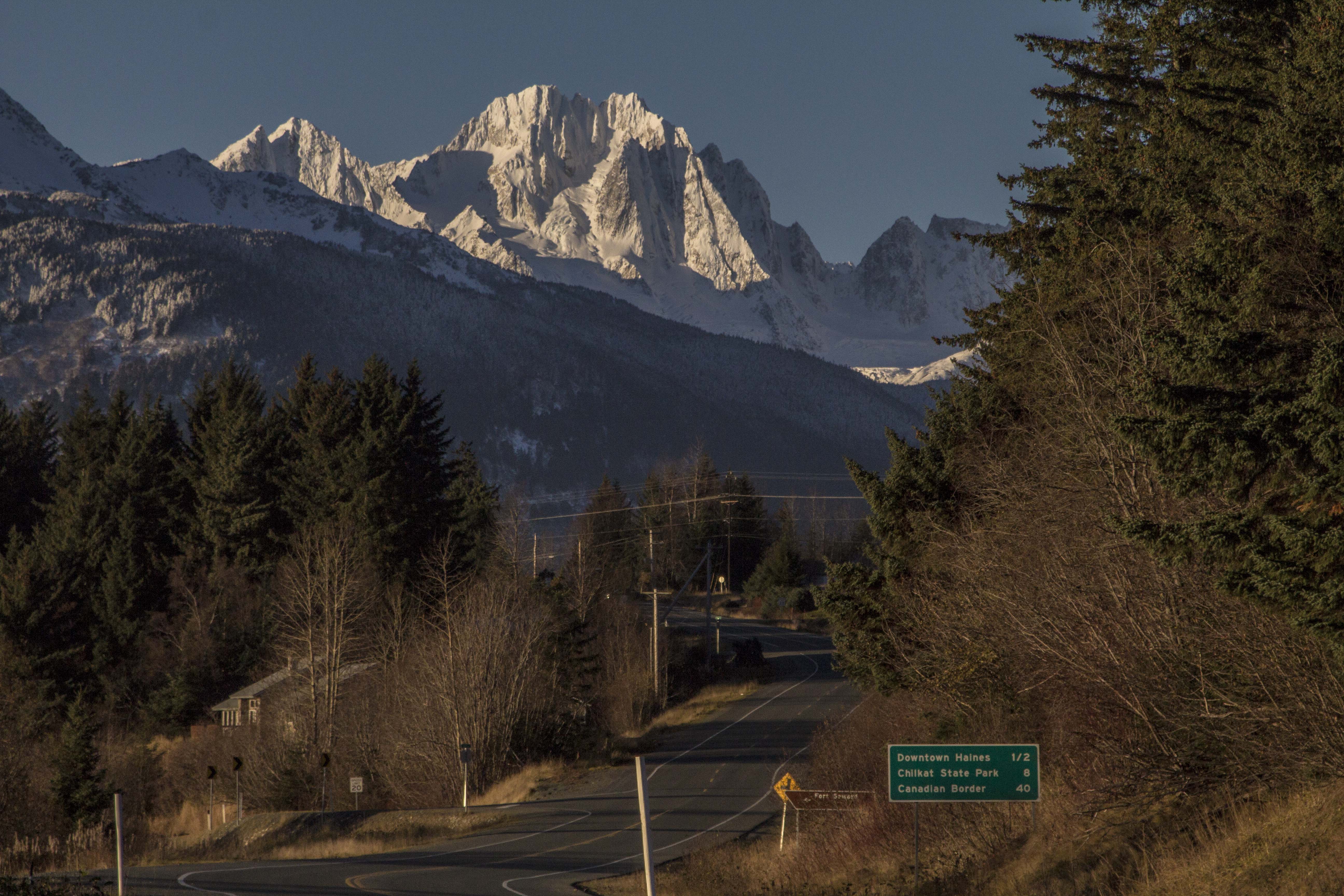
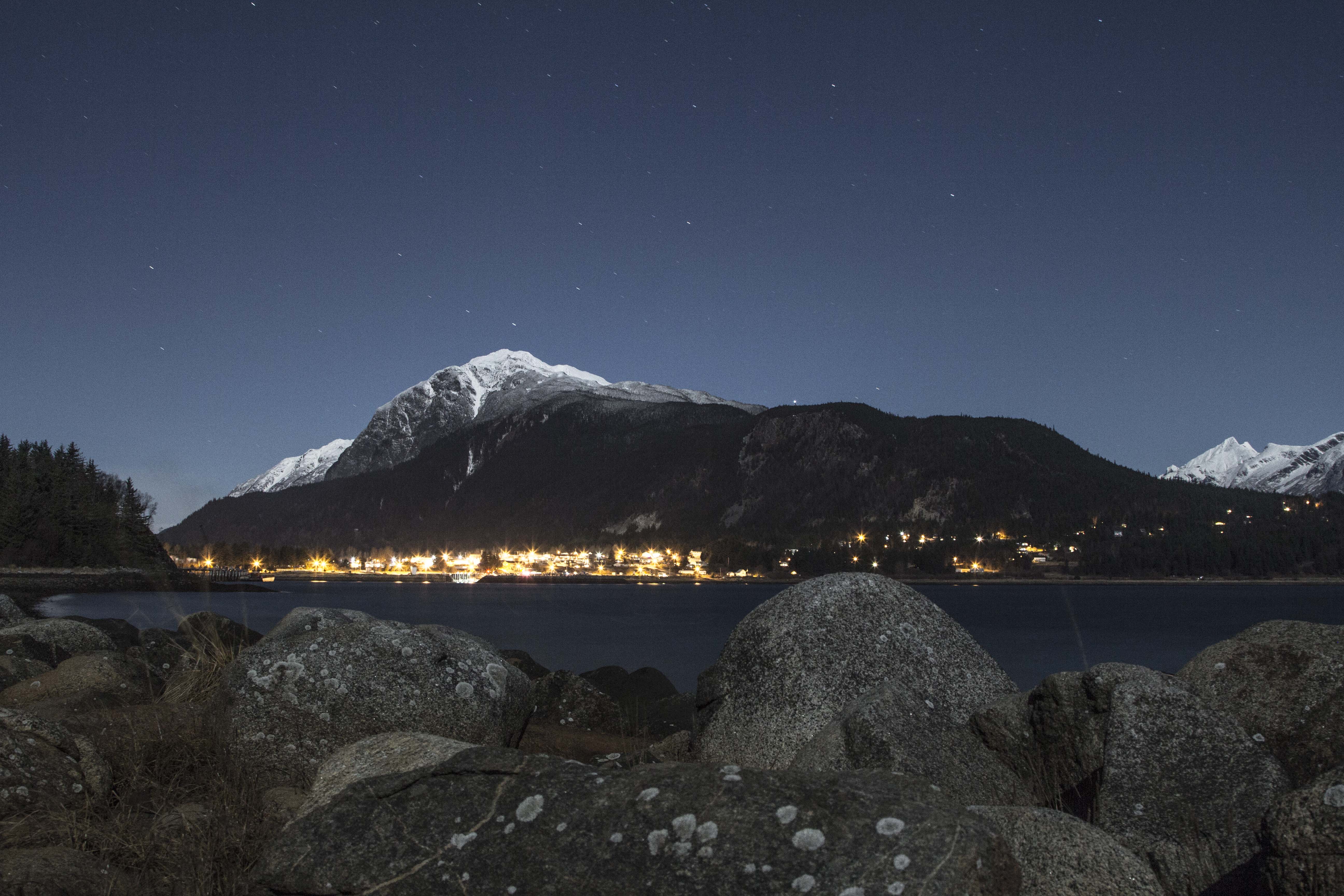
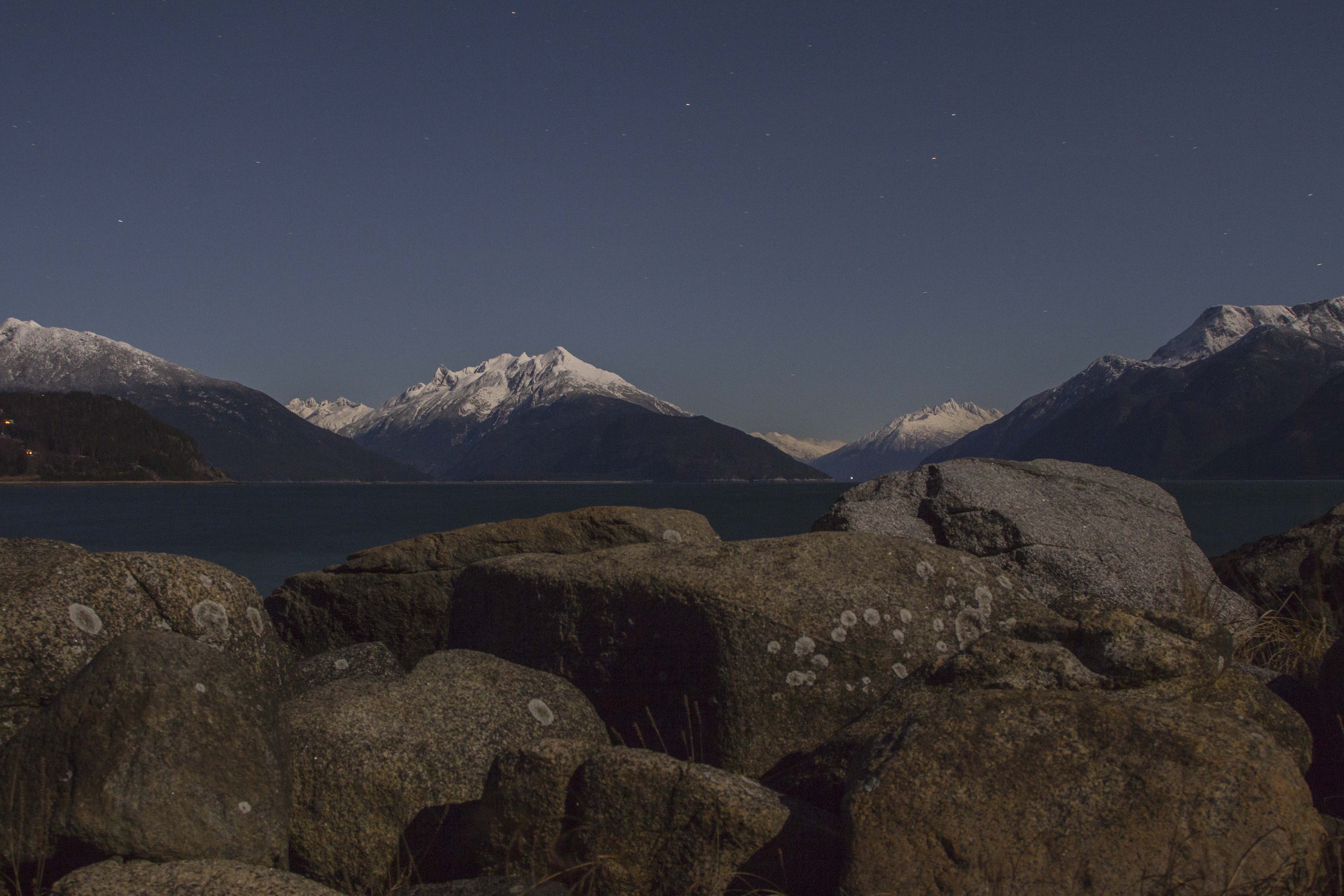
Haines is a great little town of about 2500 people, located along the inlets of the Chilkoot and the Chilkat, at the head of the Lynn Canal, North America’s longest Fiord. There are glaciers visible from town and is surrounded by the incredibly jagged peaks of the Chilkat Range to the east, and the Coast Range of the Glacier Bay region to the west. There are a ton of Brown (Grizzly) Bears here as well. It is truly one of the most beautiful places I have ever been.
The first week of being in Haines was rough on me, however. Cold nights, crammed into the back of my truck, looking for a job and a place to live, and not knowing anyone in town, was challenging to say the least. Self doubt began to creep into my heart. Had I made the right choice to leave Fairbanks and come to Haines? Should I just go back to Utah, which I had left more than 30 months ago? Should I just stick it out? A conversation with Angela on the telephone cheered me up and convinced me that I had made the correct decision. After a week or so, I had scored a free slide in camper for the truck, and a full time building job with some folks whom I enjoy being around. Each night I camp in a different, beautiful spot along the coastal waters of the inlets of the Lynn Canal, surrounded by the most beatuful mountains one can imagine, and dream of a long life here.


You must be logged in to post a comment.