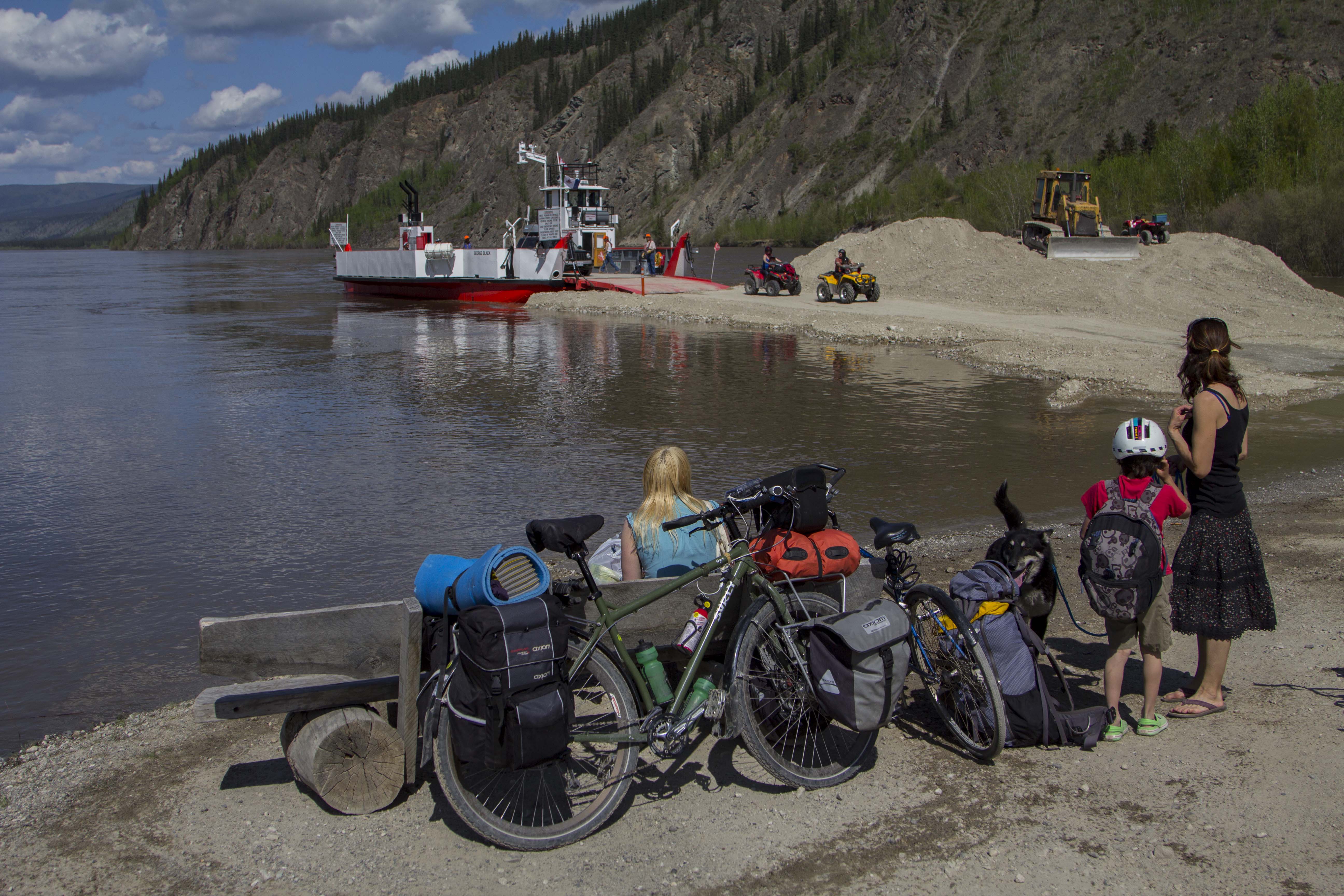
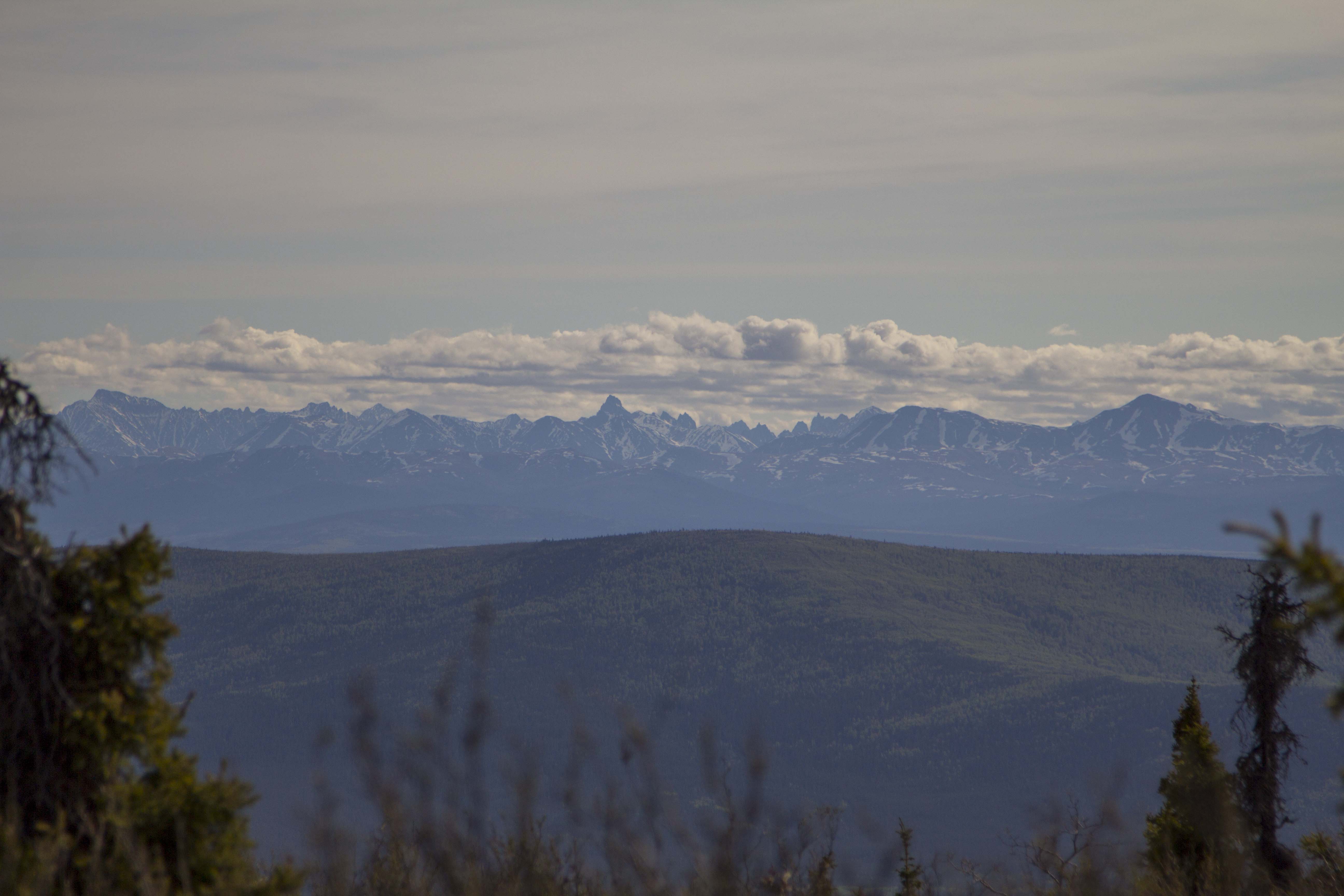
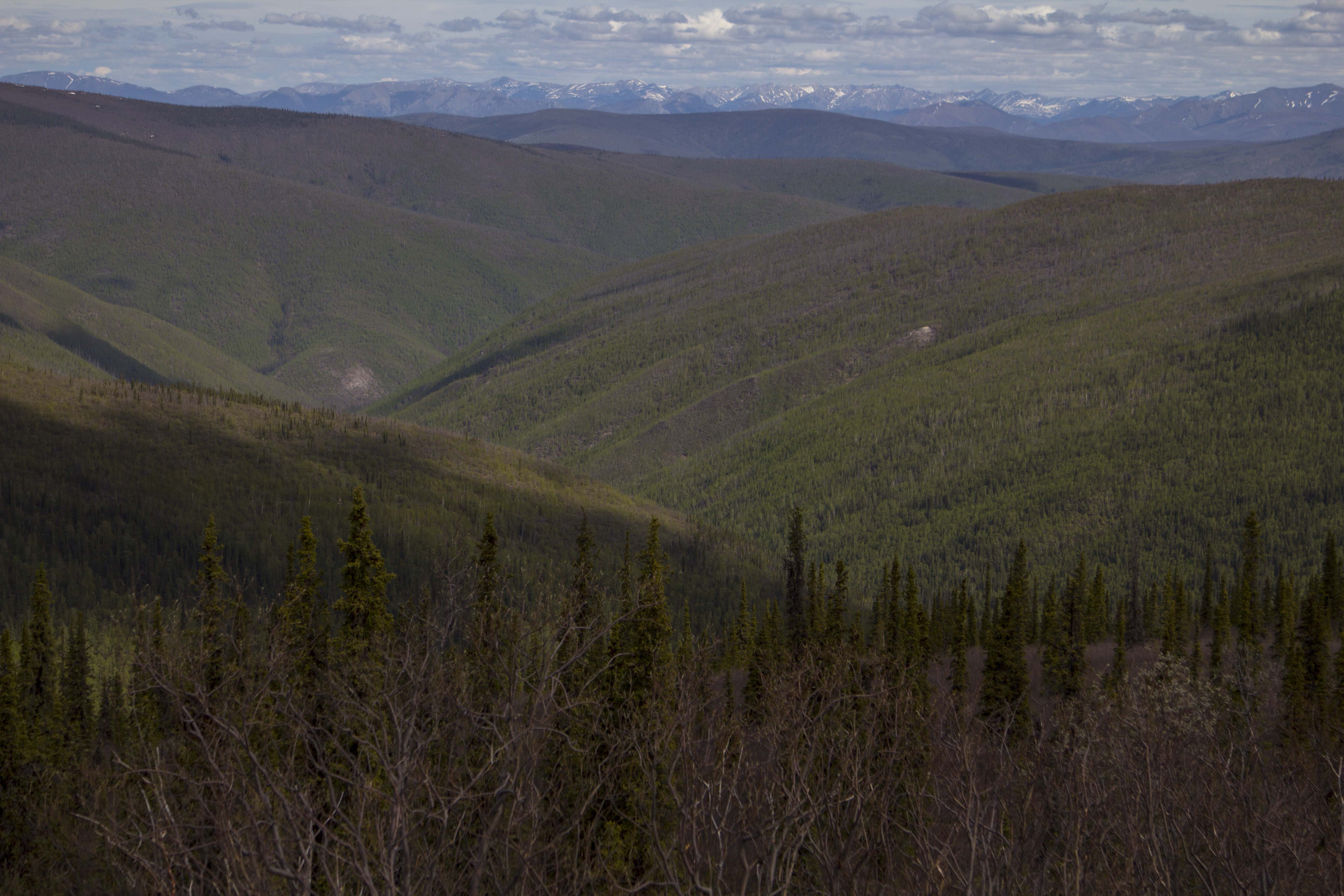
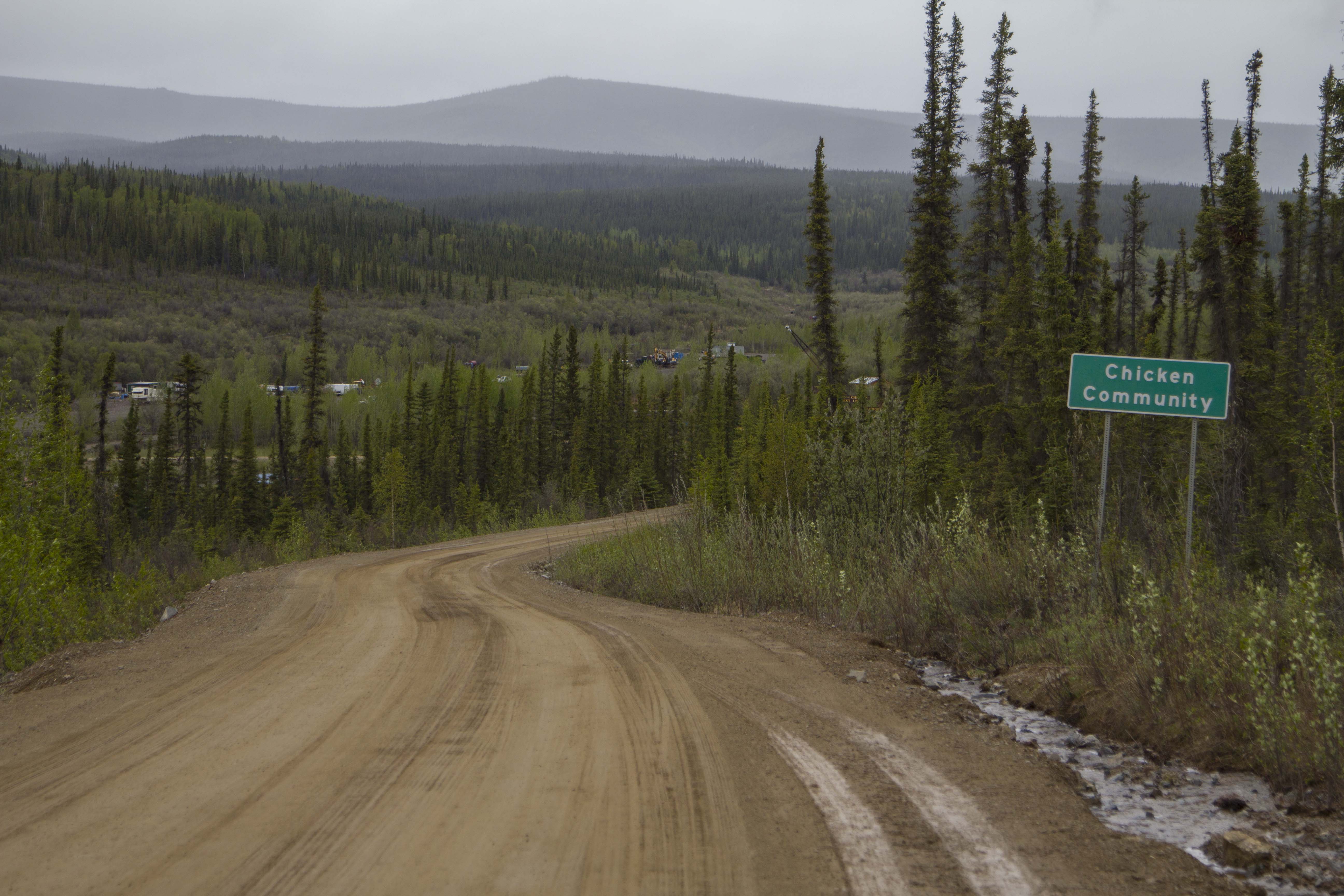
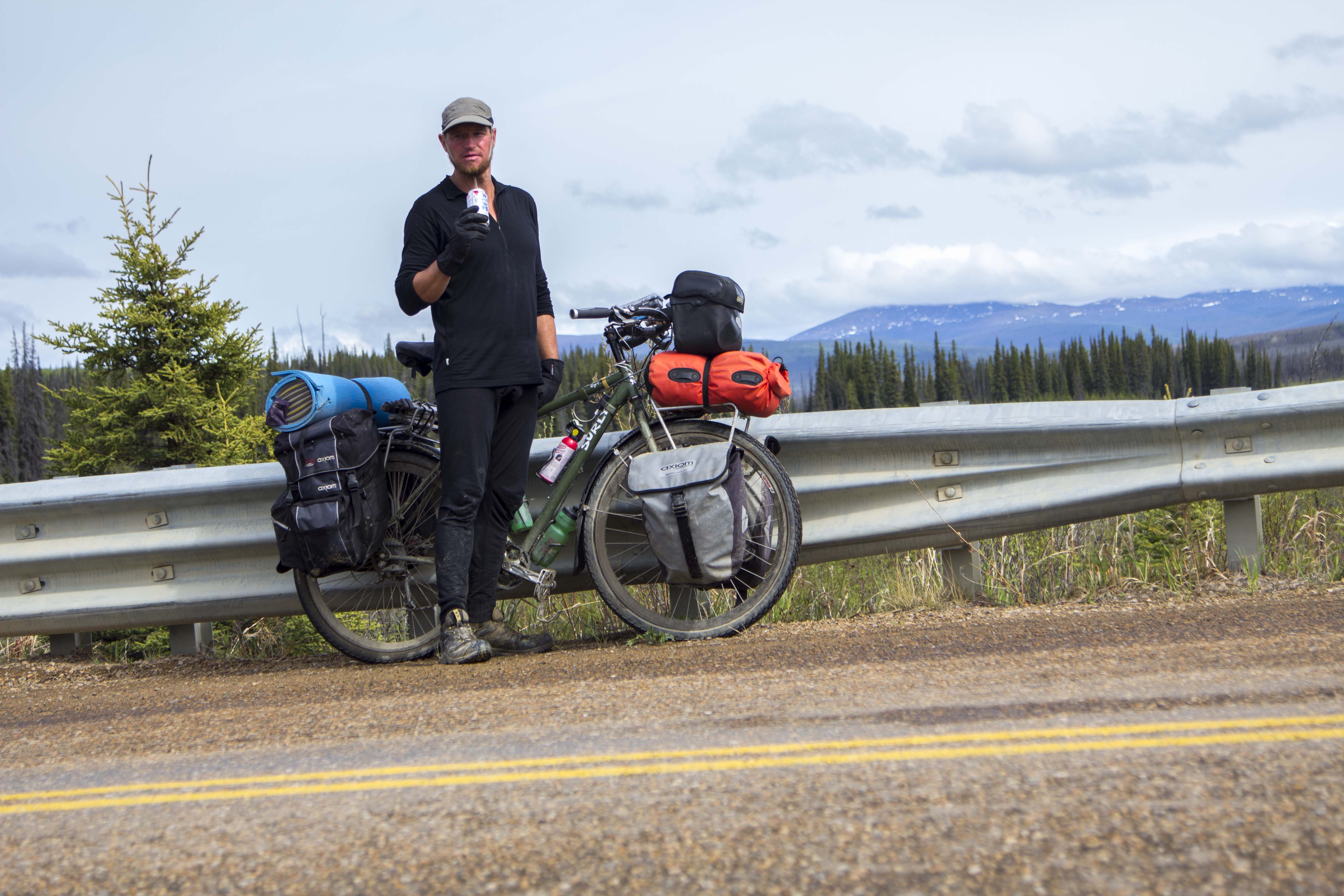
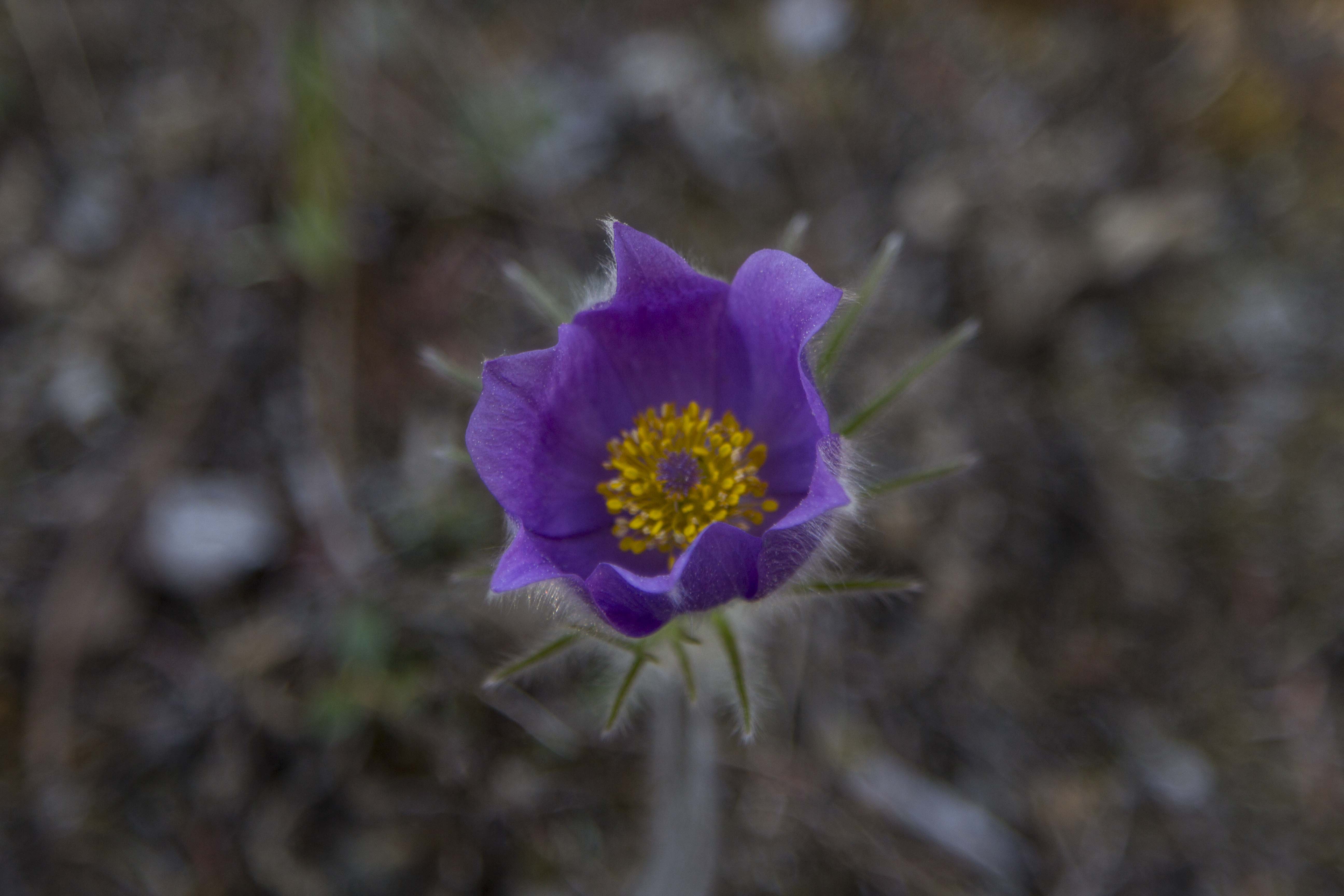
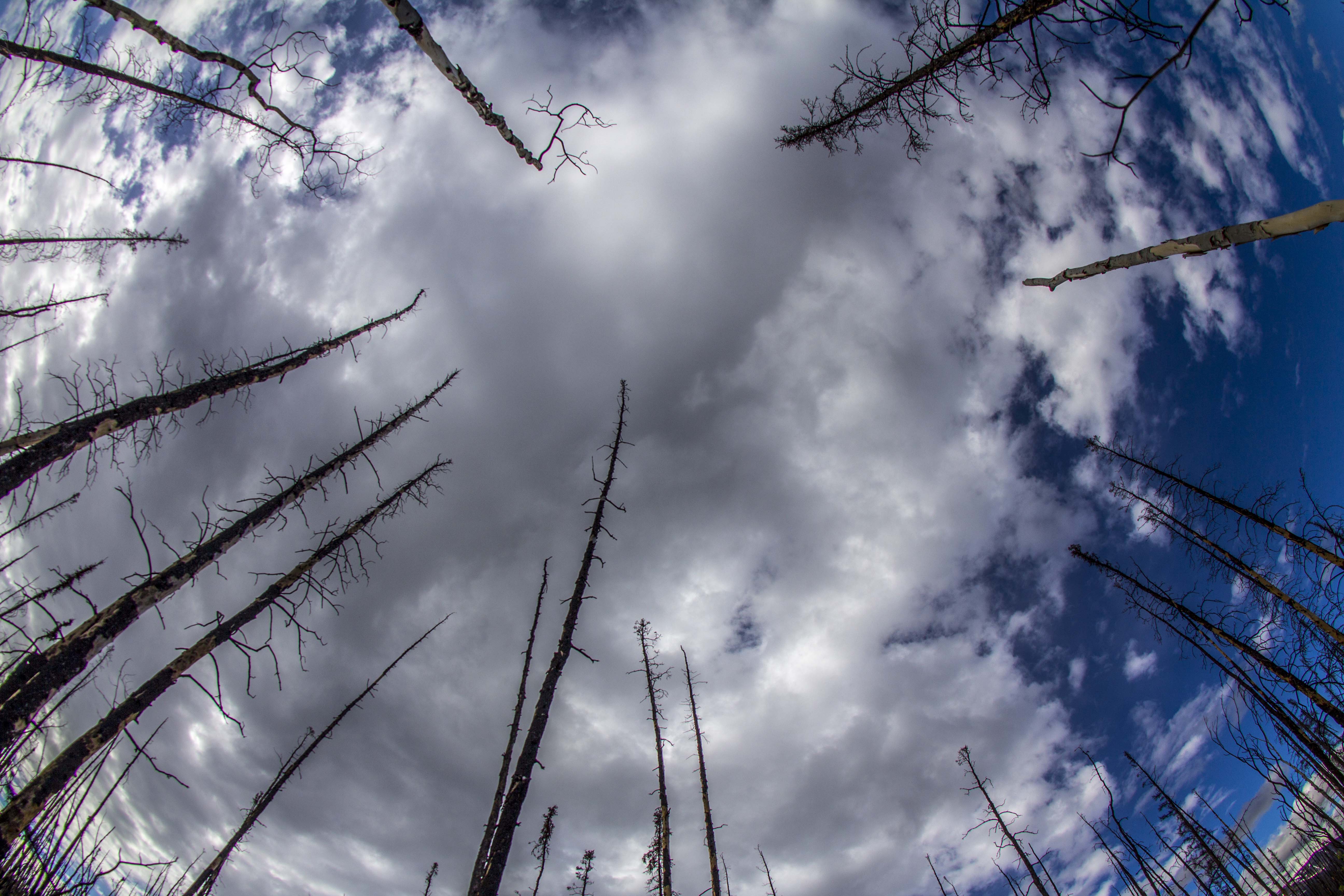
So I left Dawson City behind.. a town rich in it’s past and present history. I’ll be back. Hopefully to engage the elusive Dempster again at some point. Leaving town around 4:00 pm and crossing the Yukon River on the constantly running free ferry, I was thrown into a world of steep hill climbing that would not let up for another 110 miles. Right off the ferry, the road turns skyward, straight up at angle of about 10-12%. For 8 miles straight without mercy. Near it’s “top”, there is a rest area of sorts and I call it home for the evening. Over the course of the next days’ 68 miles of pedaling, I must have gained and lost 5000′ of elevation, without really gaining or losing any. This highway, a dirt path through the forest for 110 miles, connecting Dawson City, Yukon, and Chicken, Alaska, is known as “The Top of The World Highway”. And for good reason too. The path leads across the bald, tundra coated, ridges and summits of the western Yukon and eastern Alaska “hill country”. The views are stupendous; I now am looking across to the continental divide, 150 miles to the north east. In fact, from this vantage, I can see the Tombstone Mountains that I was forced to retreat from just days earlier. Only this time my view of them is from the directly opposite side and over 200 miles past. It is a truly remarkable place. After landing in Chicken, in a rainstorm of rainstorms, mud, landslides and all, I secure a Salmon Burger from the tiny grill located there; It is a real surprise to find the food quite fantastic. I chat with the locals a bit and down a couple of beers. I must go back into the forces of the rain, hill climbs, mud, and misery. Back on the bike, the storm eases up a bit, and I begin to find a rhythm that breeds peace. A big bull moose crosses the road in front of me and magic is afoot once again.
The next day, after crossing the flanks of Mt. Fairplay, I turn the corner and am greeted with an unexpected surprise. The almighty Alaska Range is standing before me, clearly demonstrating my subordinance. Once again, I am in awe.
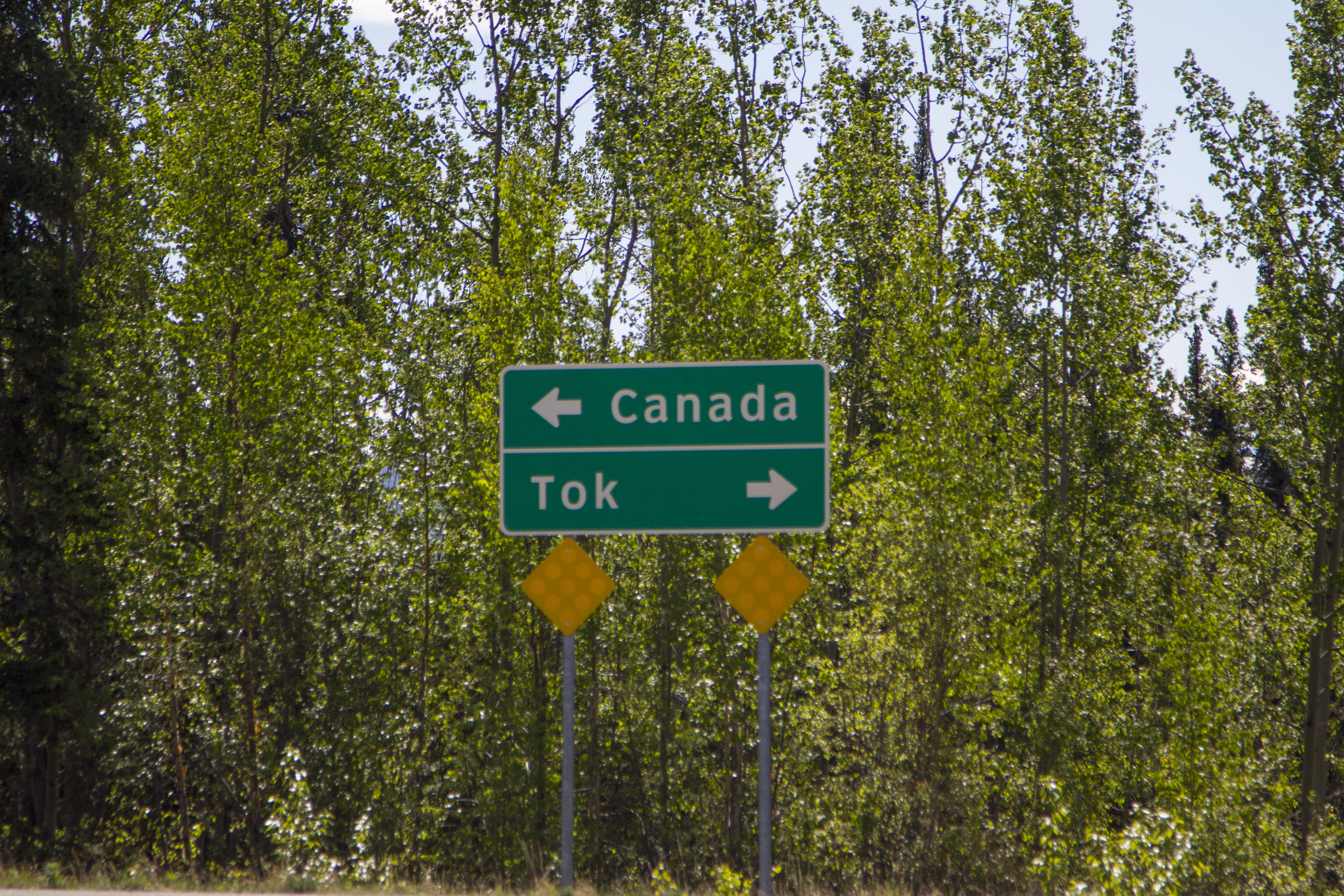
Finally reaching Tetlin Junction at the merging of the Taylor Highway and the Alaska Highway, it occurs to me that the hill climbing is over for the next several days, as, if memory serves me correctly, the stretch between Tok and Fairbanks is flat pedaling, but a spectacle of the foothills of the Alaska Range. This combo makes for some blissful times indeed.
I spend a couple of nights in Tok, at my old camp in the woods to the southwest of the school. I always have, and do now, find Tok and this part of Alaska in particular, very satisfying. It’s close proximity to the Alaska Range, great country side, and a relaxed atmosphere is unique, even for Alaska. It’s winter’s are another matter, however. Locals confirm it’s reputation as a scene of brutal cold; Winter time temps of -60F are not just occurrences, they are outright common. Land is cheap here, there is no sales tax, no property tax, no building codes, and no jobs. Sounds like a good place to retire to for part of the year.
Moving on, I head north along the northern and eastern flats below the impending Alaska Range. The creeks are plentiful and crystal clear, and I drink copious amounts of water from them; gorging myself on their nectar. Another night of thunderstorms and another morning of packing it up in the rain today. It is getting to be routine. I am finding myself able to pack it in with my eyes closed. Later in the day when the sun is out, I pull out the fly and it dries while I snack. No big deal.
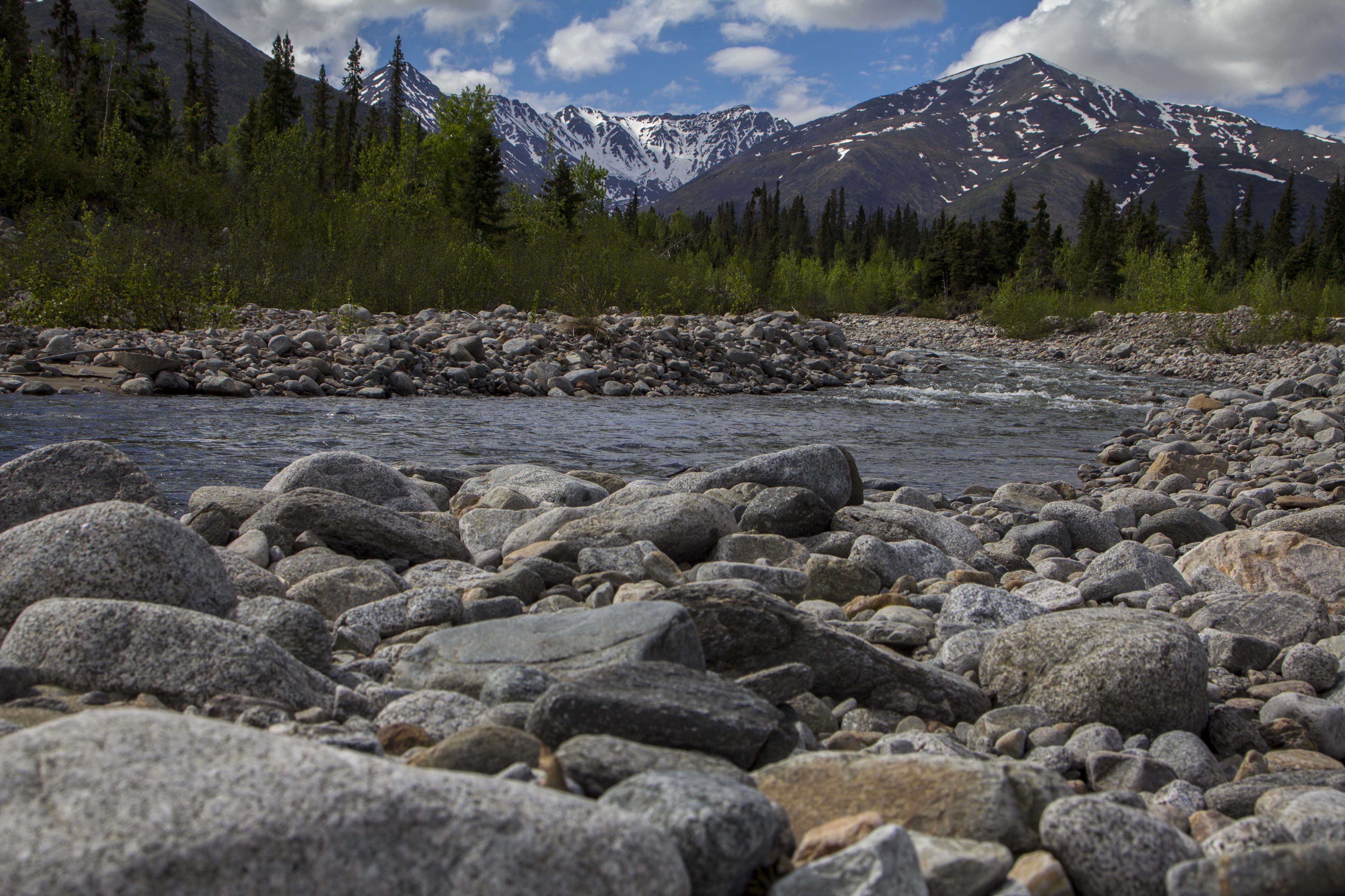
I am now in Delta Junction, camped on the gravel beaches of the wildly braided Tanana River, looking to the south at the appearances of my favorite mountains on Earth.The central Alaska Range’s Mt’s Deborah, Hayes, and Kimball, all are reaching upward in an attempt to put on a show for me, but the storm just won’t have it. I have never seen this side, the north side of these peaks, and I decide to camp here tonight in hopes of catching a time-lapse of these marvelous peaks in the morning, with the sunlight splattered across their eastern escarpment and embellishing their glacially clad, icy armor.
What’s up next, You ask? Perhaps an adventure up the Steese Highway for a trailride on the Pinnel Mountain Trail and the Circle-Fairbanks Trail. Or perhaps it is time again to settle the score with the Arctic once and for all, and head up the Haul Road, into the Brooks Range. I don’t know yet.
You’ll know, when I know…
Well, now I know, well, sort of… Life just threw me a curveball. I awoke this morning and while packing up and getting ready for a northward stint, I noticed that the envelope containing 90% of my cash is gone. I knew instantly that this was not a case of misplacing it within my kit, but one of absolute disappearance. I spend the entire morning on the phone to all places past I had visited and with no avail. I suspect it is a case of carelessness on my part; possibly left at the counter of a shop somewhere in Tok, or who knows where. Maybe it fell out of my bag when I pulled over to take a photograph. I just do not know, and suspect I never will. Either way, it is gone, and so is this journey, at least in it’s current fashion. Again, Ill let You know when I know. If by chance there is a person out there who knows something of an envelope labeled only “Trip”, that contains nearly 4000 dollars in cash, gimme a call.. Please! (435) 260-1990.
That’s all I have to say at the moment.


You must be logged in to post a comment.