
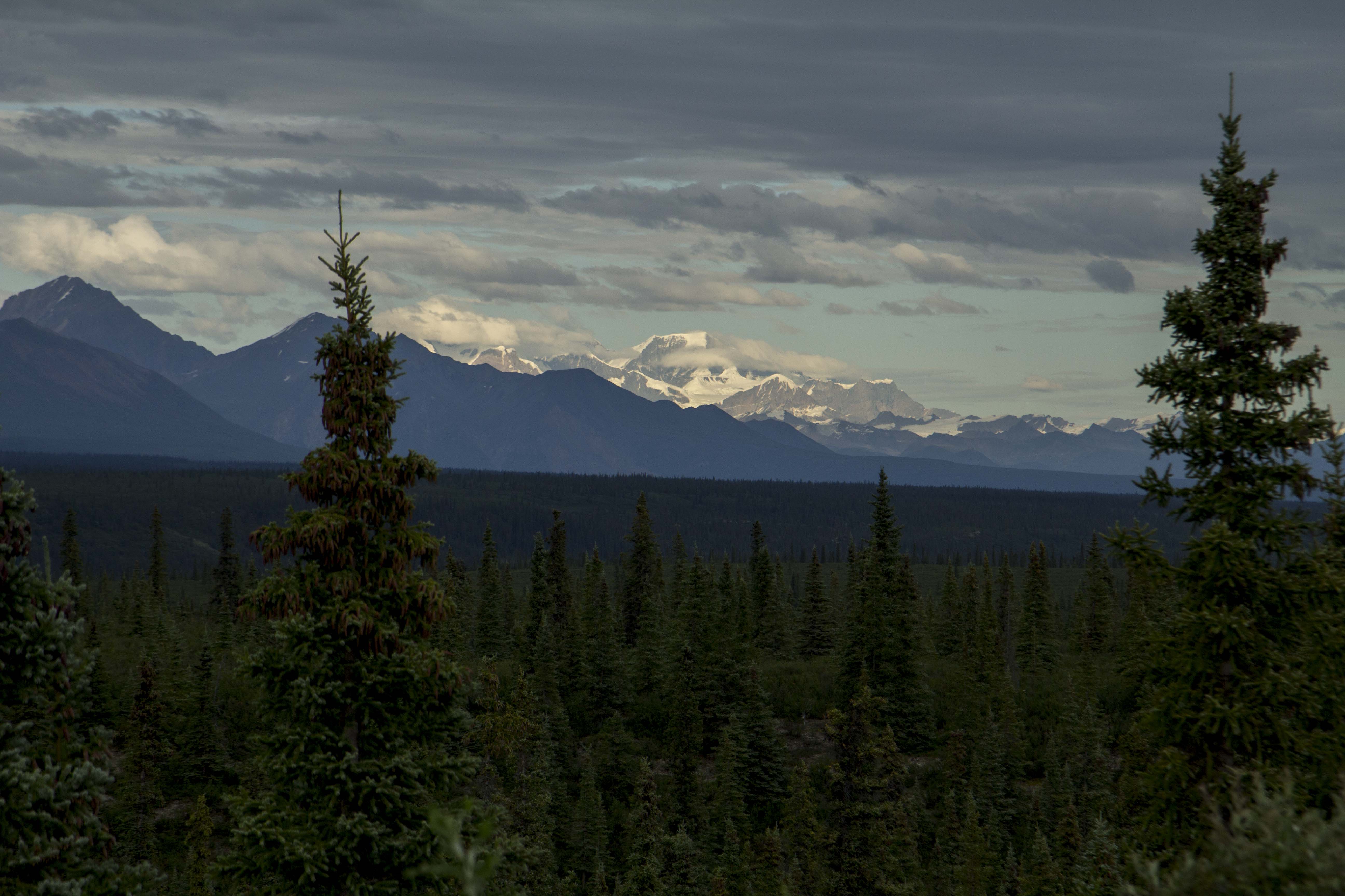
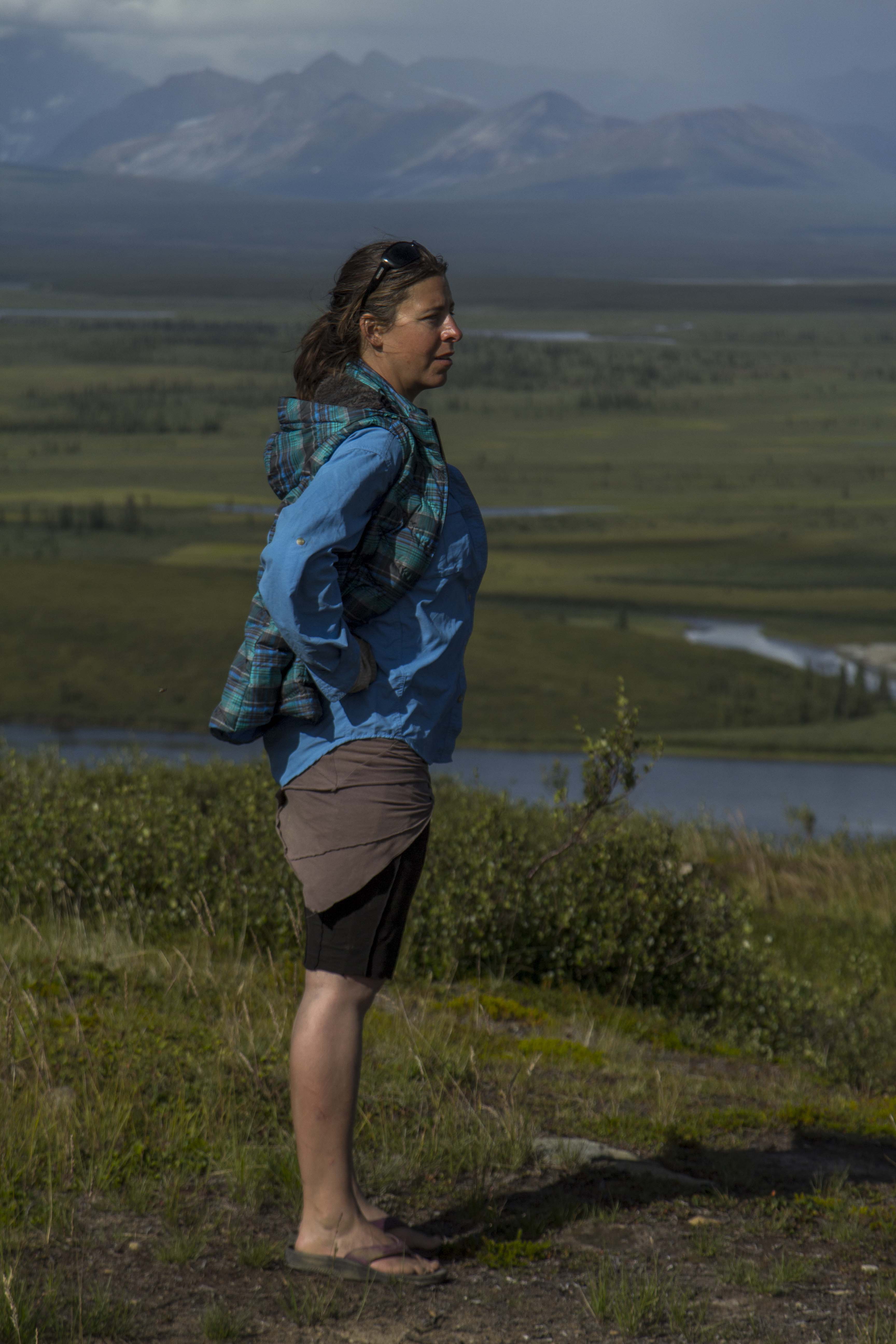
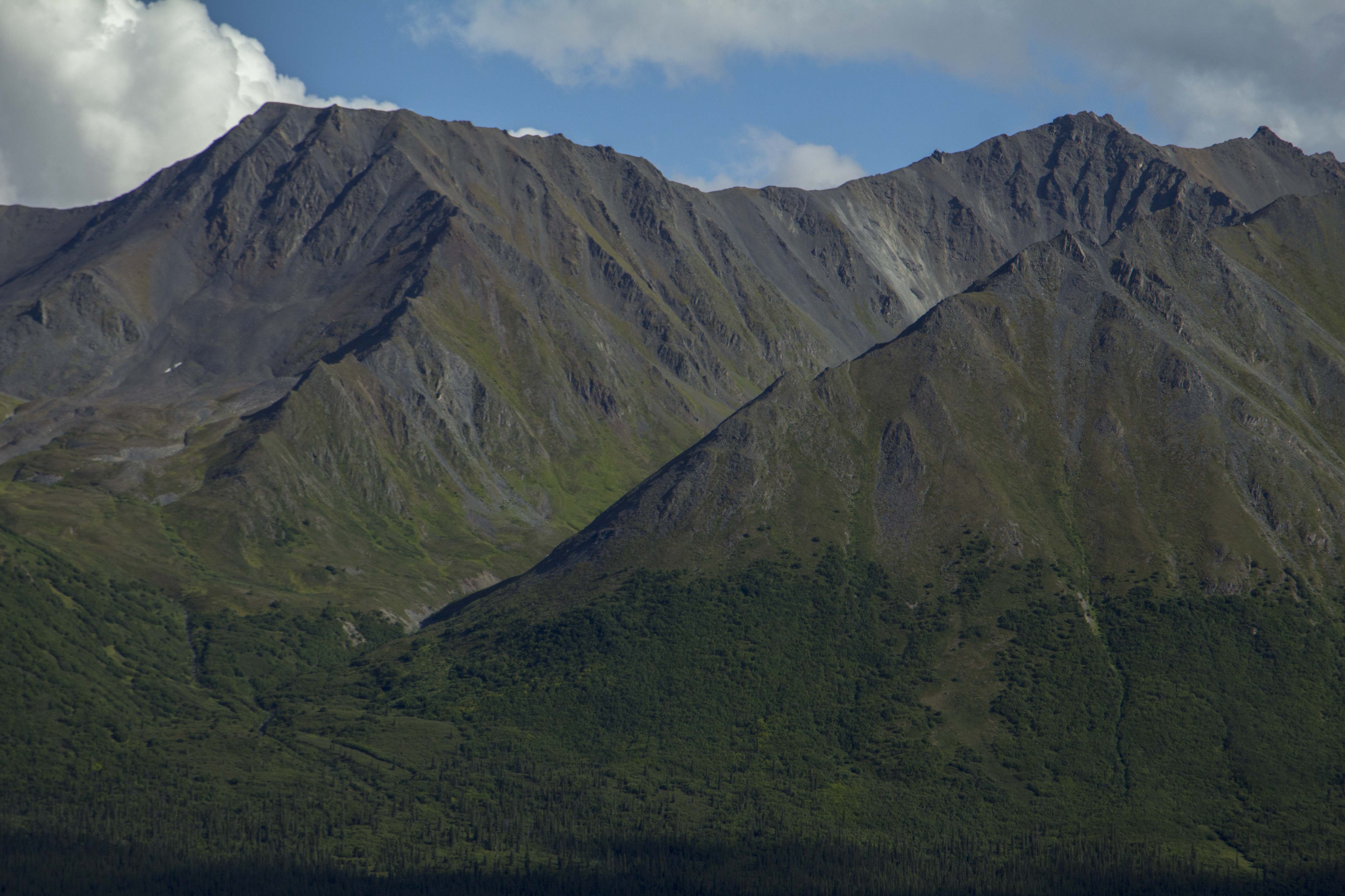
As a teenager, gripped in the throes of the beginnings of a long love affair with rock climbing and mountaineering, I, like many young neophytes of the time, was drawn to such books as Yvon Chouinard’s Climbing Ice, Mountaineering: The Freedom of the Hills, and Jeff Lowe’s The Ice Experience. These books taught me about the things I hadn’t yet done, and the places I hadn’t yet seen. The black and white photographs and haunting wordsmanship regarding miserable conditions, long approaches, and terrifying climbing escalated the already intense imagery in my eager and unspoiled mind. From the early forays to the Rocklin Quarry in California, at age 15, to my first real route ever at lovers leap, which I swung leads with my partner Seamus, and also taking my first ever lead fall, to the V-Notch Couloir in the Palisades just a year following, I had built up a thirst for wanting to expand the horizons of climbing locations to include farther away places and to up the ante in difficulty. Another book of the time that had fired my imagination and spawned a sensible and healthy desire for the great routes was Steve Roper’s 50 Classic Climbs of North America. Now, grant you, this book became, in a short time, to be regarded by some as a joke. Eventually it became not so lovingly known as “50 Crowded Climbs”. It included some routes that were incredibly obscure, some that were not so good, and one route that hadn’t even seen a second ascent. Nonetheless, it had purpose and the result was profound on me. One of the routes in the book was the North Face of Mt Edith Cavell in the mighty Canadian Rockies. in 1988, after a couple of season’s climbing in the Rockies, I decided that it was time to do this thing. There were other routes in the Rockies that were more aesthetically pleasing, more remote, and possibly of better quality, but after all, it was in the 50 Classics book, right? It had the earmarks for a good outing I thought; The approach was short, the route moderate, and the descent reasonable. Why not? I also figured it would be a good warmup for Kitcheners’ Grand Central Couloir.
In the mid and late 80’s, often times, my climbing partner was the notorious Brian Knight, AKA “Mr Way”. Way had a talent for irritating people in a way few can do; his knack for debate and arguing was legendary. It is no wonder that years later he became a lawyer. He tended to piss a lot of folks off from time to time, but, in those days, he rarely got under my skin. That’s not to say it didn’t happen; one time, on a road trip to the East Side, I demanded that he pull over and I jumped out and hitchhiked far away from him. However, we managed to climb quite a lot together during those times and even managed to get up a few things. Way had an interest in Edith Cavell as well, and we both had been to the Rockies before and both cherished what it had to offer. So, in the fall of 1988, we set off, leaving from Tahoe and heading north in Way’s beater 1980 Subaru wagon.
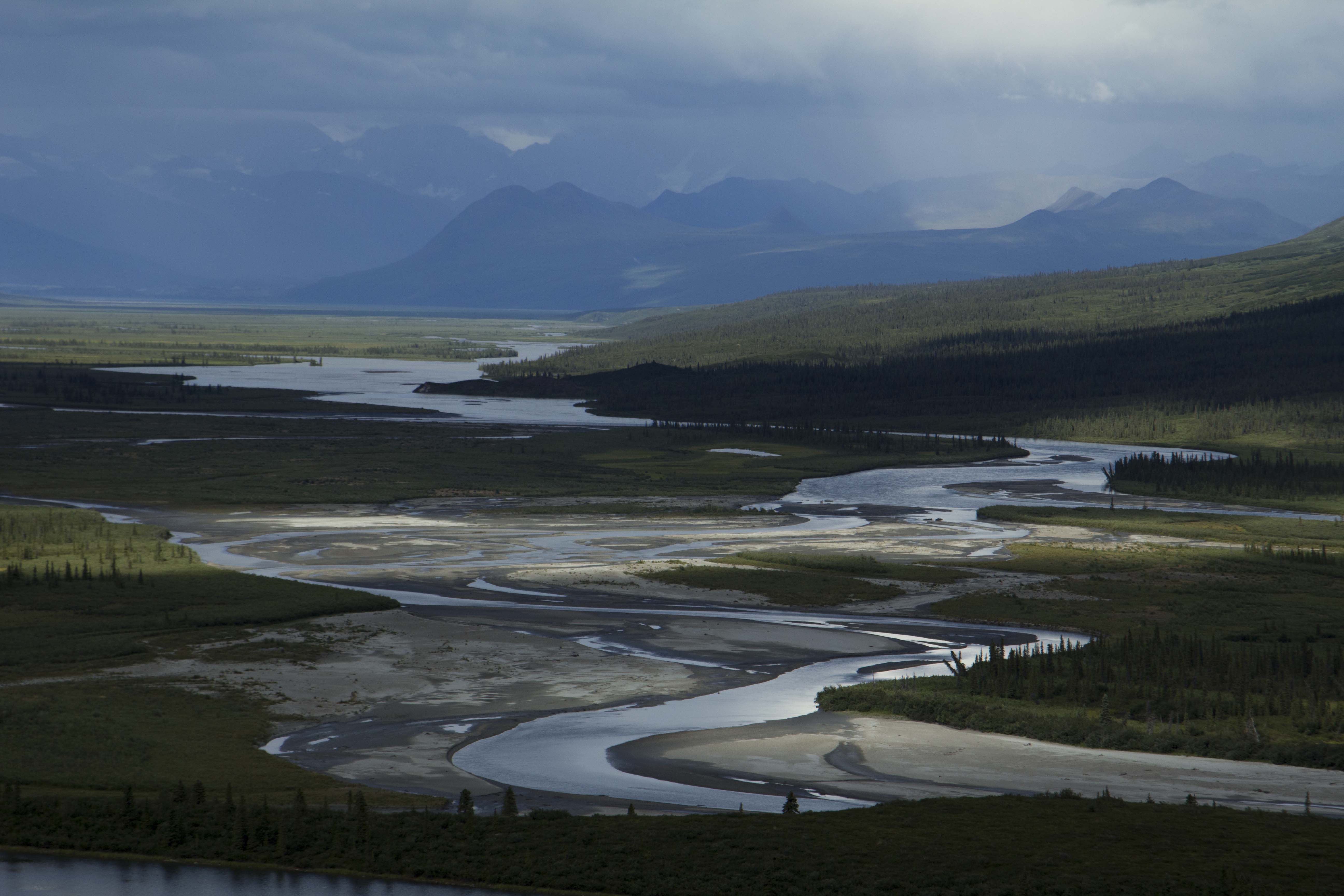
We stopped in Bellingham to visit Way’s friend and spent the day water skiing in the Bellingham Sound, eating, sorting gear, and telling tales of past climbing forays. The next day, early in the morning, we took off, into Canada and across southern B.C., enroute to Alberta, and the Banff-Jasper Highway. As we approached the mountains from the B.C. side, a storm was starting to brew, and the climb to Vermillion Pass was obscured in clouds, as were the surrounding peaks. We descended the pass in near whiteout conditions, creeping the old Subaru down the snaking road, painfully slow. So slow, in fact that by the time we got down to the Icefields Parkway, there were a dozen trucks behind us, all furious, and seething to get around these absurd Americans who cannot drive in a snowstorm. The trucks passed, one by one; and after the last one disappeared into the storm ahead, we then saw the red and blue lights, an unfortunate and familiar sight for me in those days. As the cop approached we wondered what we had done to warrant this pullover. It seems, one of the impatient truck drivers had actually called the cops on us; the fuzz had stopped us for going too slow! This was a first, for sure. Next, the RMCP asks for our registration, driver’s license, and last but not least, proof of insurance. “Uh, how ’bout two outta three, man?” Way replies. No good. After running our records, the cop calls a tow truck and soon our little Subaru was loaded up and driven to the impound yard in Banff, until we could provide proof of insurance, which was going to be difficult, since we didn’t have any. The cop drove us to Banff, and allowed us to gather what we could carry from the car. So there we were, Way and I, standing there, in Banff, dressed in full mountaineering suits, complete with double boots on and full packs to boot. It started to snow again.
Back in those days, I rarely had more than two nickels to rub together and another rogue trip to the Canadian Rockies was no exception.
We heard there was a hostel there, so we trudged, through the woods and the freshly fallen snow, towards salvation. Except that we certainly could not afford to stay there. However, we did in fact stay there, we just did not pay. We snuck in and we snuck out. In fact, the whole trip had been pulled off with just a couple hundred bucks between us; in order to conserve money, we pulled off a series of “dine and dashes” across Oregon and Washington. Once, in Spokane, after an especially filling all you can eat breakfast buffet, Way and I decide that it is time to split. You go that way, I’ll go this way. After casually exiting the restaurant, and circling the block in opposite directions, we meet up again a block down. We begin strolling down towards the car in a care-free fashion, when suddenly we hear the shouts. “Come back here you punks!” We spin around to see the chef of the fine establishment we had duped, chasing after us, at a full run, complete with Chef’s hat and butcher knife in hand. We ran. Hard. Back in opposite directions and down a back alley to meet at car and a fast peel out towards the freeway. Onward… That was the last dine and dash of my career.
After we left the Hostel, we decided not to go back and set up camp in the woods near town, grabbed some clean duds, and headed for the bar. Maybe we could find a ride up to Edith Cavell, a three hour drive by car. As luck would have it, we meet Alex, a local climber, who not only agrees to give us a ride the next day, but lets us crash at his house to boot.
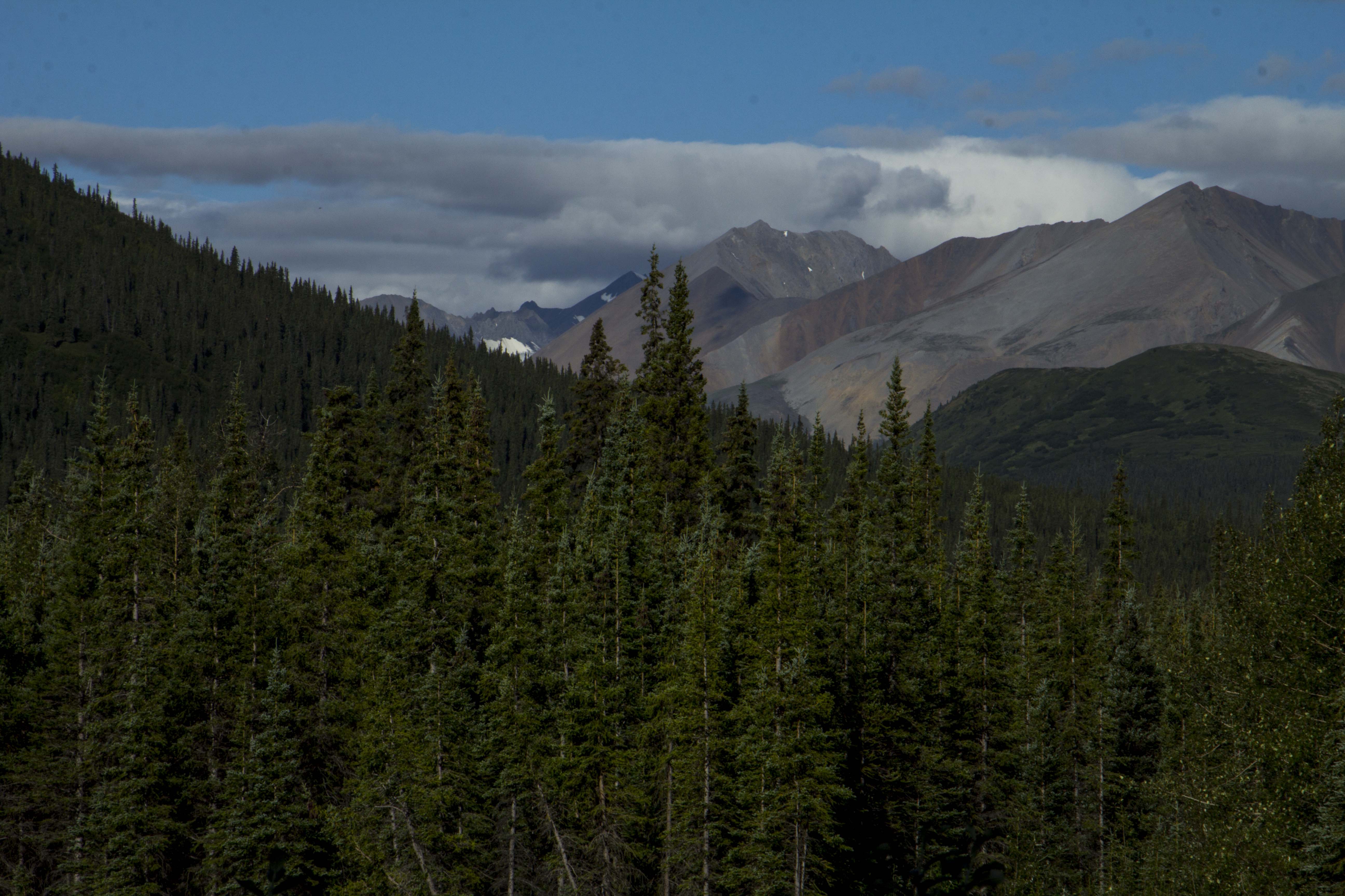
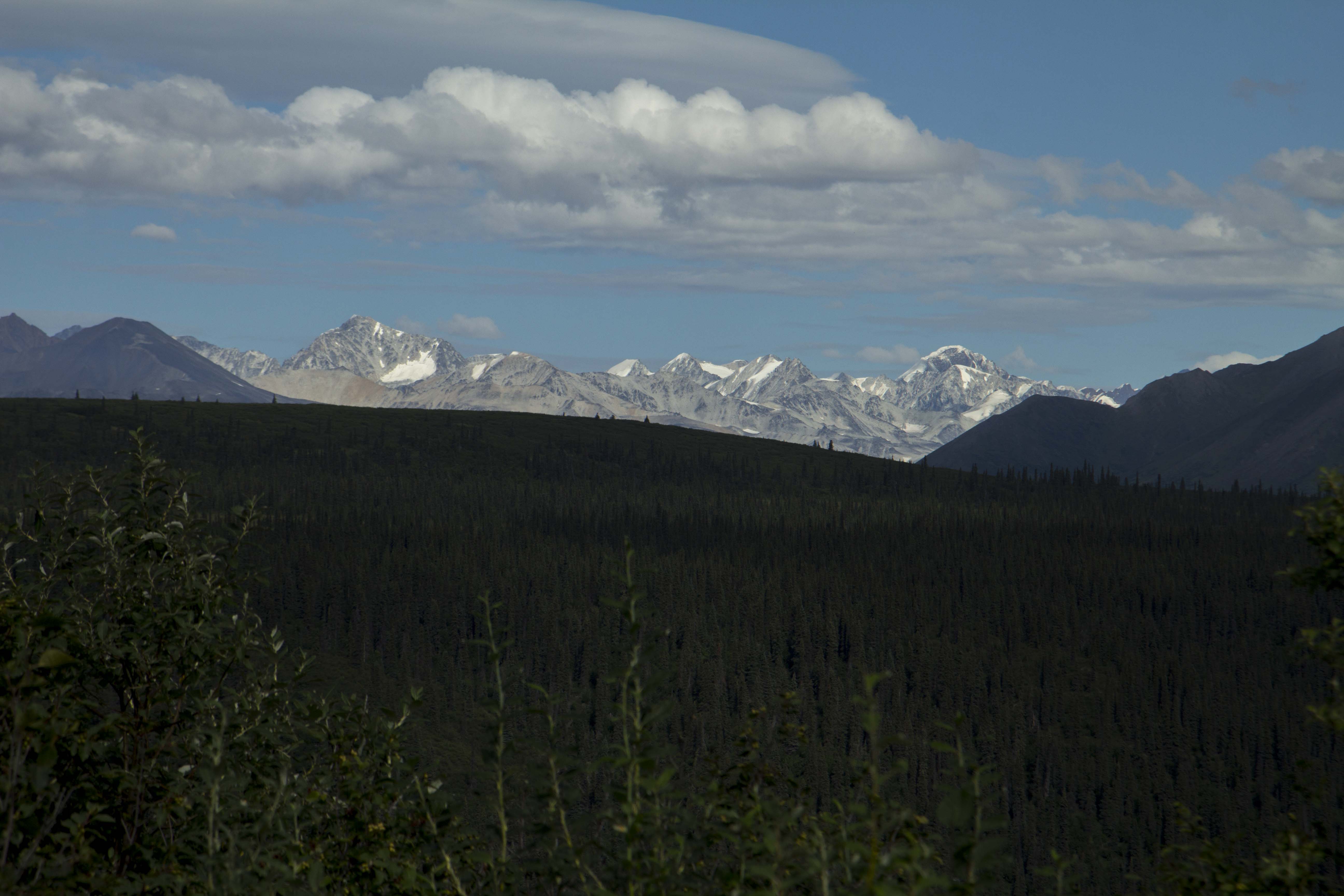
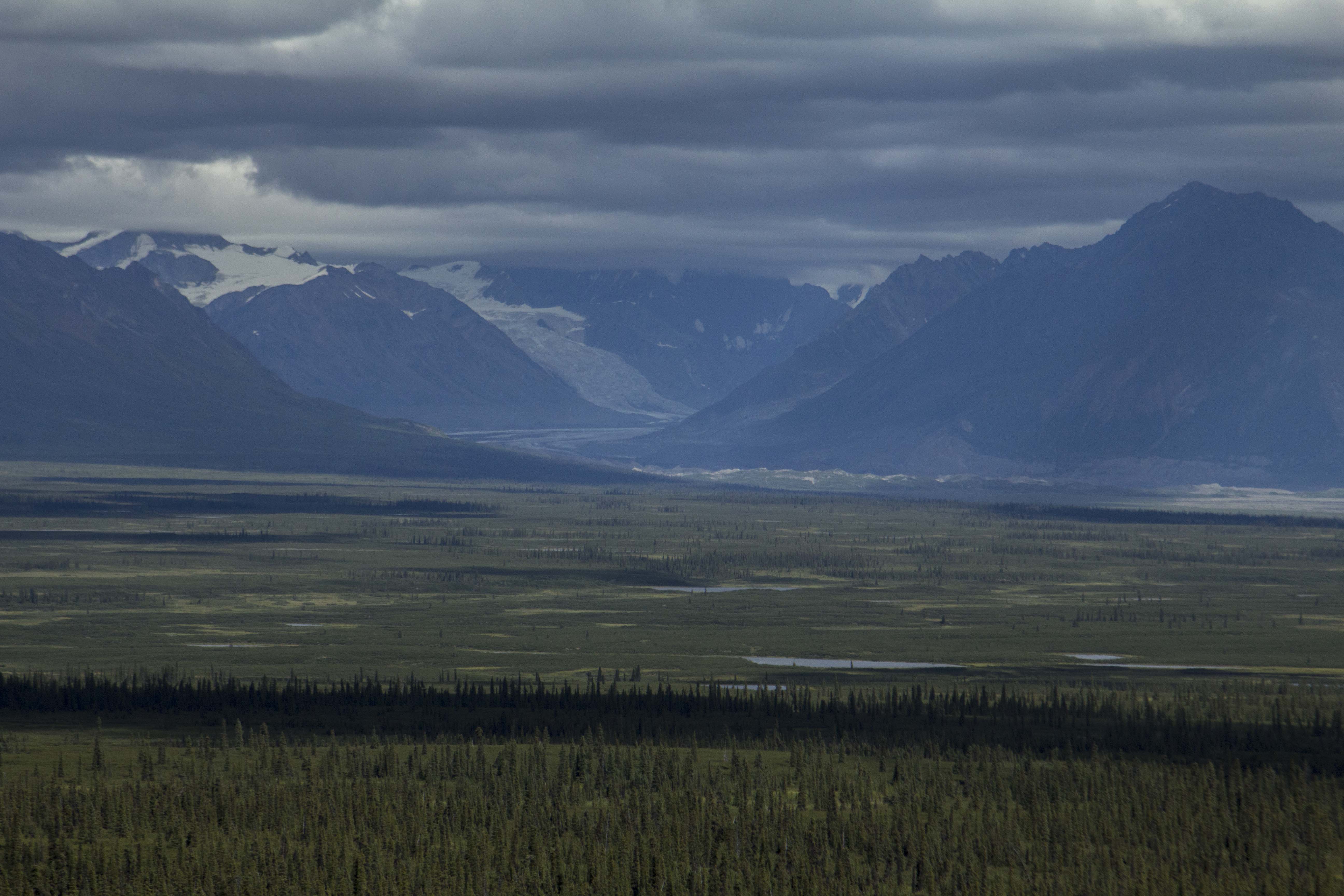
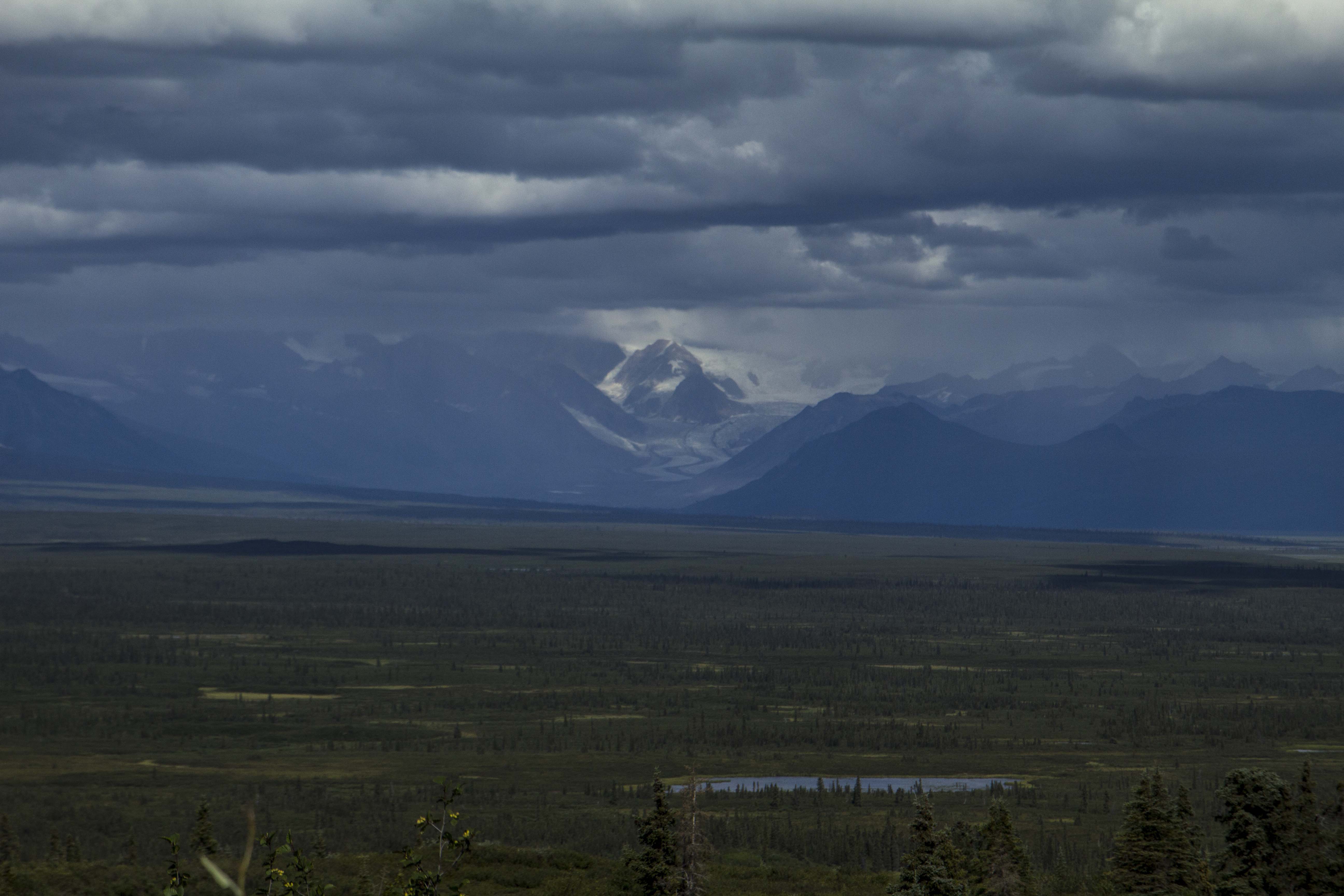
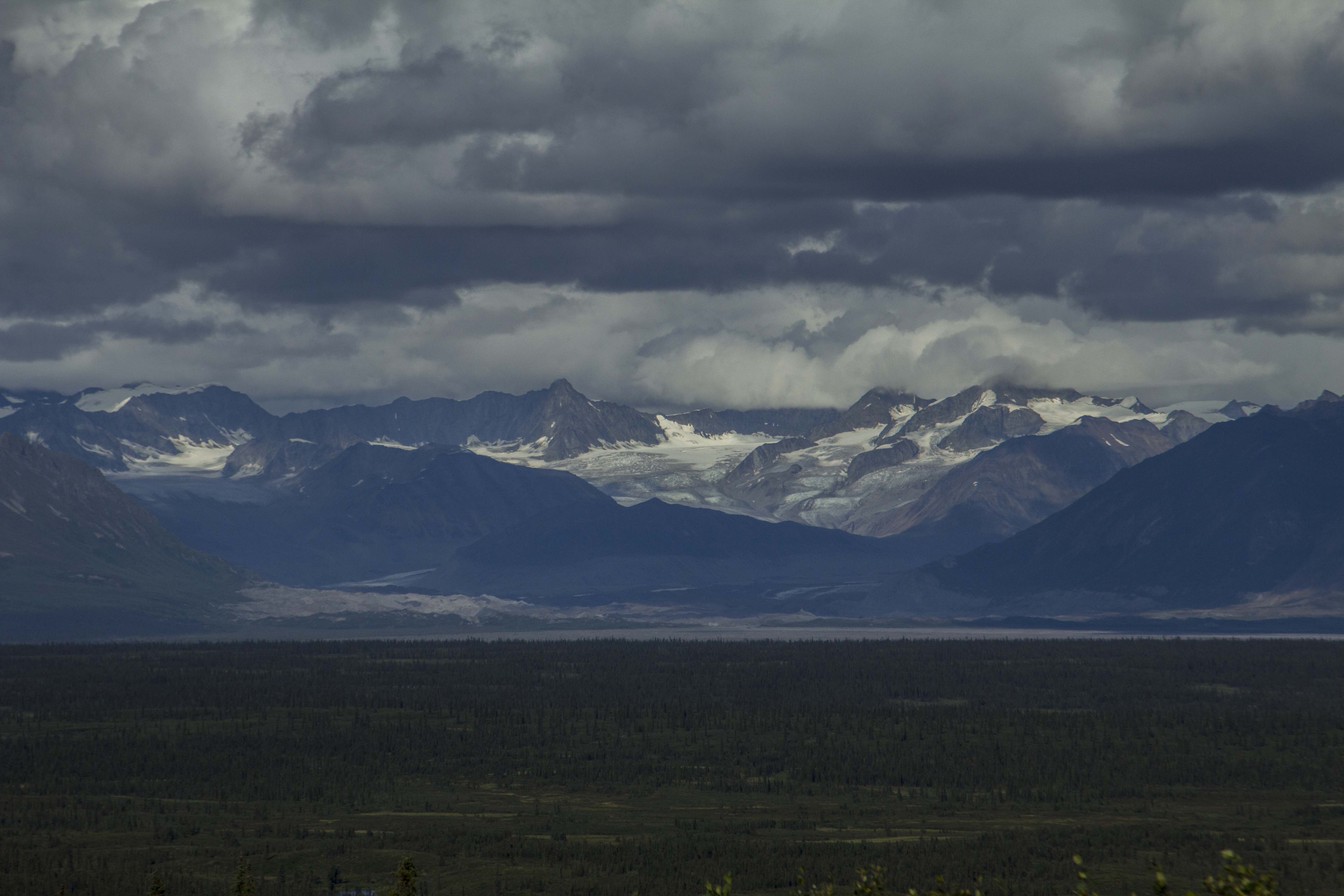
A late start the following morning puts the three of us on the road by 11:00, and soon we are flying past the Icefields, and soon after, cranking up the side road leading to Edith Cavell. Way and I hop out, grab packs, say goodbye and thanks, and start hoofing it towards the base of the Route. The North Face of Edith Cavell consists of 4000 feet of Ice and Limestone, with the bottom portion of the route a glacier and it’s tongue, flowing downward at an angle of about 55 degrees, and higher up, still below the main face, 2 or 3 sections of icefall and crevasses that must be negotiated in order to gain the “real” climbing. We hike in, with the wall above us staring us down, and find a bivy directly below the first ice pitch. We awake, at 4 am and realize that we are actually getting a late start, but decide to go for it anyway. A 2 am start would have been desirable in order to climb the 4000 foot route in a day, without a bivy. The Initial ice pitches flew by with ease, and soon we were hauling ass up the low angle glacier above. Crossing the ‘shrunk, we spy a ramp leading left to a narrow ice gully, which ended, it appeared, at a blank looking limestone wall, maybe 500 feet up. Again, the pitches flew past and soon we were climbing good quality 5.8 limestone in crampons, Canadian Rockies style. After a couple of rock pitches, another ice pitch leads to a big horizontal icefield that splits the face. At the ice field, it starts to snow. Heavily. Within minutes, we are engulfed in whiteout conditions. Before the storm hit, we though that a quick traverse to the left was in order, in hopes to gain a chimney/corner system that we thought was the key to gaining the upper face. However, here, now, in this storm, everything began to look as though we had never laid eyes above before. A horizontal pitch of snow and ice to the left, and all we could see were massive overhangs above us. These looked nearly unclimbable, and at the least, would require the use of aid. Mind you, the route is rated IV 5.8 AI3, which meant we were clearly off route. We could not see more than a few feet in the storm, and after a full hearted attempt at finding a way through the ceilings above, I lowered off and traversed to the right again; this time over an arete, my hands gone totally numb, crampons scraping the limestone in desperation. I gain a small ledge and bring up Way. After he scrapes up this last pitch, we sit there, bewildered, not knowing where to climb. Above us, more big overhangs; more desperate looking than the last ones. We knew we were sunk. It was 2 pm and we figured we had just enough gear to rappel what we had climbed. If we were lucky.
So down we went. Rappels, one after the other, snowing hard now, wind coming in on the face; rime ice is beginning to plaster every feature, including us. Soon, it is quite obvious that we will not have enough gear to rappel from as we have brought a meager rack: 2 camming units, 4 stoppers, 1 Lost Arrow, 1 Baby Angle, 1 KB, and 3 Ice Screws. We figure there is just enough gear for us to rap the route utilizing single anchors, which meant that the first person to go down got 2 anchors, and the second guy pulls the backup. Dicey. In fact, the anchors were not great to begin with. The possibility of dying on this face were very real. The rock was extraordinarily compact, and finding suitable cracks was difficult. After about 10 raps, some long some short, some off of slings on natural features, we finally reached the Glacier having left all of our rock gear on the face; it couldn’t have been more perfect, really. We still had to descend the Glacier and then rap/down climb the tongue. Fatigue, dehydration and cold were taking their toll, and soon it was dark. We did not know how far down it was to the base, and with only 1 ice screw left, and downclimbing in the dark out of the question, we find a ledge the size of a love seat, and decide to bivy. The temperature seemed to be dropping even further, and the snow, coming down harder. We donned all of our clothing, put our feet in our packs, and weaved the rope over us like spaghetti. After a couple of miserable hours, we realize that it is far too cold to merely sit, so we get up and jam the ice screw into a crumbling rock crack, tie in, and proceed to run in place off and on for the remainder of the night. With all of this going on on such a small ledge, it is no wonder that somehow, we managed to kick off my ice hammer, and my helmet. It was along night indeed. At one point, agonized by the misery of this bivouac, Way even threatened to pitch himself off the face to end the suffering. I encouraged him so that I might have peace and quiet; alas he feared death more than he feared the cold and heinous night, so pitch himself he did not. Just before dawn, we belayed off the shitty ice screw rock anchor, and I down climbed a half pitch of chose to find 45 degree blue ice of which made for quick front pointing down. After a short while, we could see the bottom of the tongue, and the ice steepened significantly. We thread the rope through some ice tunnels made with the ice screw and made a couple rappels to the bottom, where we pulled the rope hastily and bee lined it for the world. Luckily, the hike out was without incident and we even managed a quick hitchhike back to Banff, all in pretty poor weather. It was early November now, and this signified the end of the fall season; soon, these kinds of routes would be “out of condition” so to speak. It was time to leave Canada.
Way managed to secure some wired funds for a quick getaway which included a temporary insurance policy and some gas money; just enough to get us to Salt Lake City, where we though perhaps it would be a decent place to spend the winter; skiing, climbing, and making money for the next adventure. About an hour north of Ogden, the mighty Subaru blew it’s lid, and there we were again, on the side of the road, with a mound of gear and a dead car. A tow truck came to retrieve us, and took us to a service station, but we had to give the tow operator the car as payment! What’s the point I ask?
In the end, I wound up hopping a bus to California, got my old job back at the ski shop in Sacramento, and Way, having hitch hiked to SLC, spent the winter in the Wasatch.


You must be logged in to post a comment.