Even before moving from Fairbanks to Haines last November, then as now, Google Earth has been a friend to me insofar as giving me an opportunity to seek out many of Haines’ lesser known treasures. I remember the evenings in the cabin up on Himalaya Road, north of Fairbanks 30 miles or so, after my chores tending to the sled dogs were over for the day; I would skim the earth utilizing this amazing piece of technology to familiarize myself with the place I knew would become my home.
Last April, after the bulk of the winter’s snow had become a molecular part of the heavens’ above, I decided to drive out to explore an area I had “discovered” by means of the previously mentioned technology. But after getting out there, I became confused with what road was what, and not wanting to get tangled into someone’s property, I abandoned ship and opted for a hike across Mud Bay proper and over it’s adjoining ridge through the area’s old growth forests.
This morning looked reasonable, weather-wise, so I decided to let the Ogre out of the corral and saddle up. It was chilly out, but at least it wasn’t raining, and the cool wind felt downright invigorating. Spinning softly along the shores of the Chilkat inlet, I whizz past Letnikof Cove and the small harbor there, past the old cannery, through the Community of Mud Bay, past the road to Chilkat State Park, and on the the seemingly dead end of Mud Bay Road itself. This where I had been deterred before, but was determined to find what I was looking for.
The Chilkat Penninsula, at just over 59 degrees north latitude, holds 2 or 3 tiny lakes on the flanks of it’s forested hills overlooking the Lynn Canal and it’s various arms. The most commonly known lake is Lilly Lake, which also serves as the drinking water supply for our little town. One other tiny lake, more remote than Lilly, called Rustabach Lake was what I wanted to see.
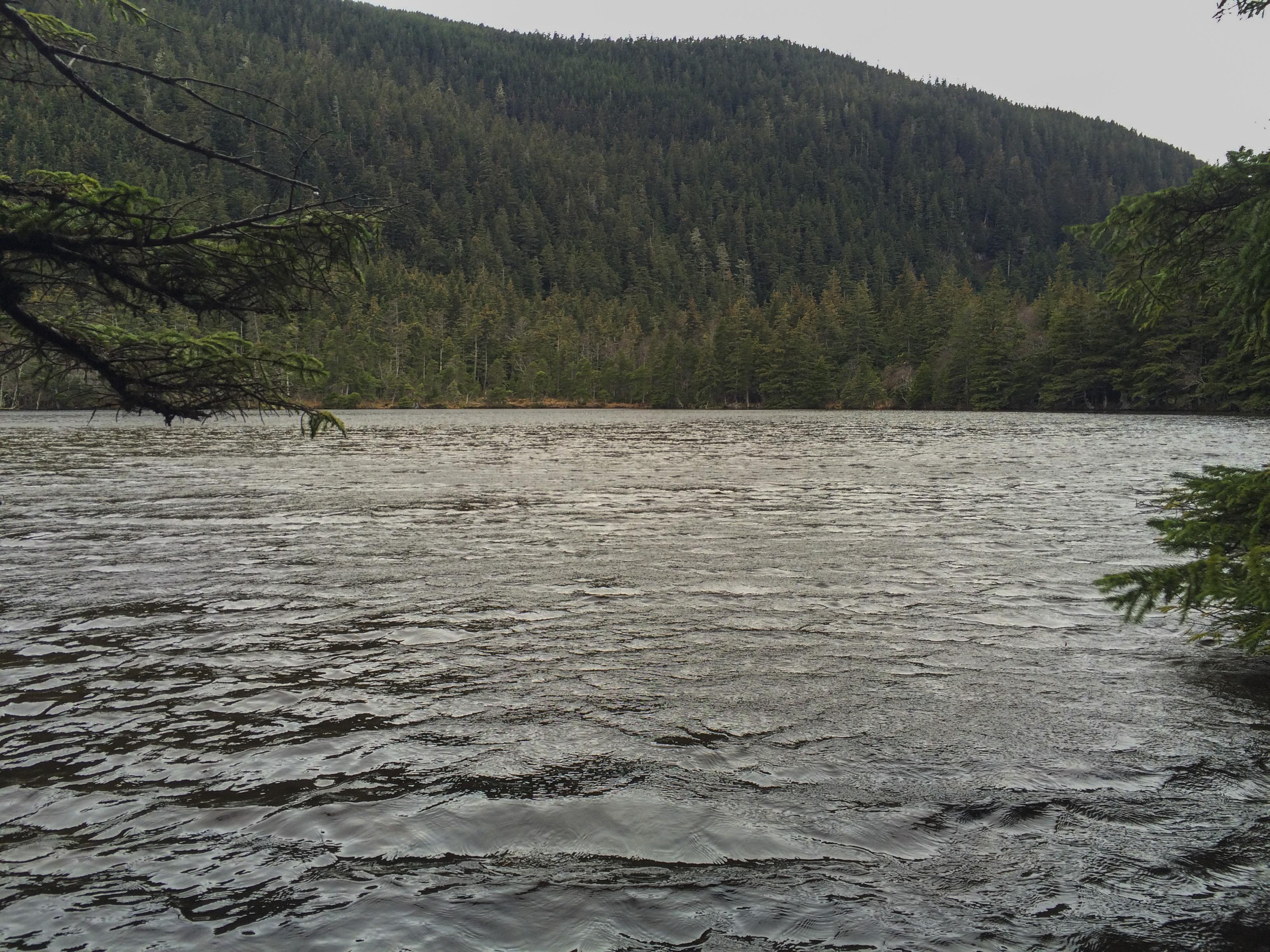
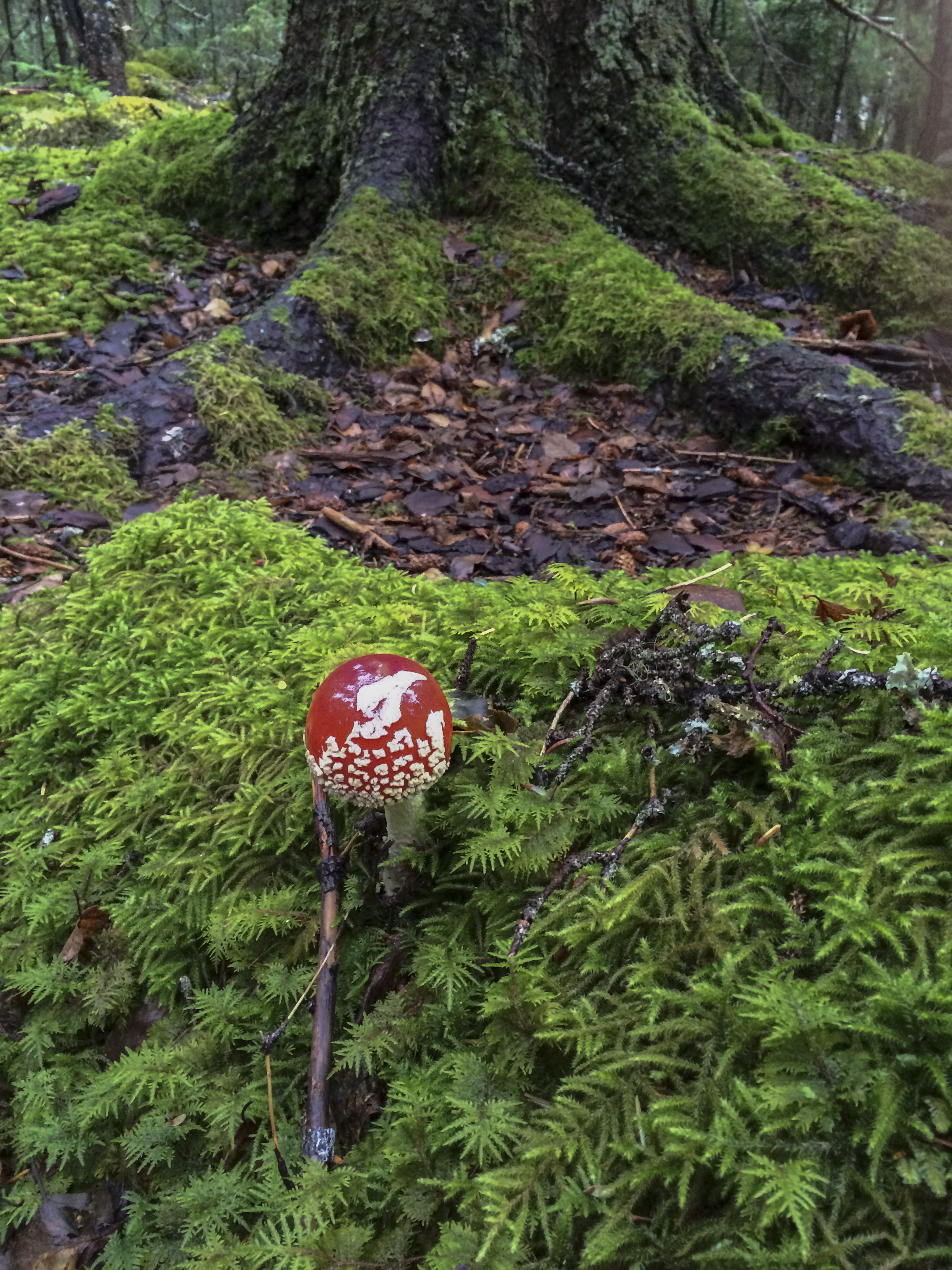
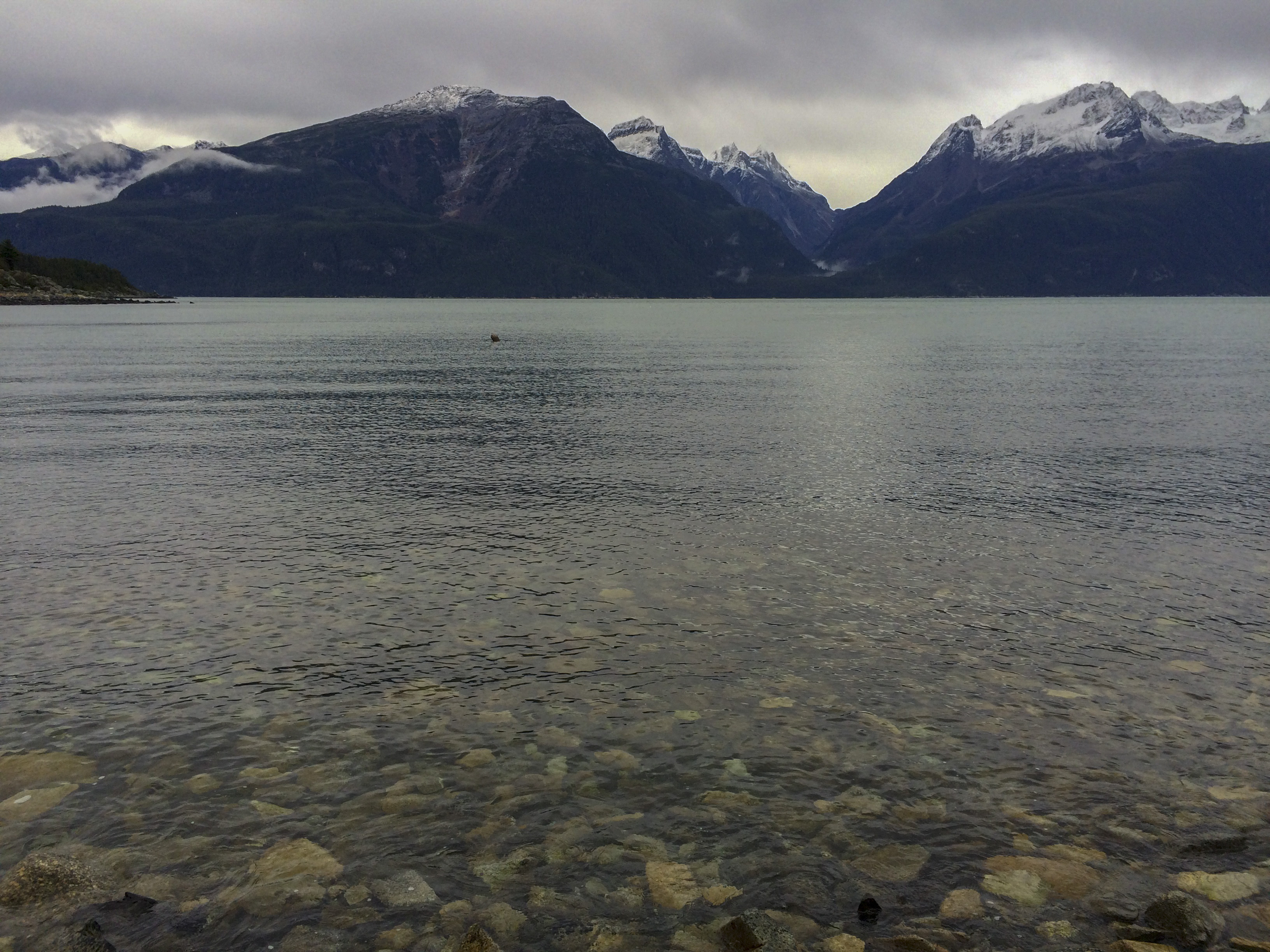
The Ogre seems to have a third eye for this sort of thing, so I shrug my shoulders and hang on for a steep climb up the narrow dirt track leading upward. Shifting into the wee tiny gears of the upper end finds us at a pull out about a mile up. I stop and can see that there is a well traveled trail leading from the pull out and decide that a short hike is in order. Not far into the old growth forest, the trail is smooth and I figure must lead to someone’s cabin. After a short bit, there is the Lake! Rustabach! It appears smaller than Lilly Lake and perhaps a shallow one at that, but it is a peaceful place surrounded by magnificent forest and some of the thickest, greenest moss forest carpet I have ever seen. I walk back to the bike and we continue on up the road and finally come to someone’s beautiful cabin homestead, complete with a big green peace symbol on it’s woodshed. Not wanting to disrupt, we turn around for a fast and fun blast down the road to the saltwater, where big views of Alaska’s great Coast Mountains and her mighty glaciers are visible. Also visible, is a storm quickly approaching from the open waters of Icy Strait, not far south. The peaks are quickly engulfed and the Ogre and I head back to from where we came…