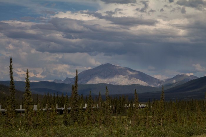
There are only two roads, in North America, that one might pilot a vehicle of some sort, which lead to this continents Arctic area’s. As far as I know, there is only one other road in the world that leads into the Arctic outside of North America, the Arctic Highway in Norway, which might just be the northern most connecting road in the world. The two roads in question are the Dempster Highway in the Yukon and Northwest Territories, of which I attempted to ride weeks prior, and the Dalton Highway, AKA “The Haul Road” in Alaska. Both of these paths’ through the wilderness are of the dirt and gravel variety, however, there are bits of pavement and chip seal surfaces as well, scattered about, here and there. The Haul Road, remote indeed, was built in 1974 as a supply line to the north slope oil fields at the Arctic Ocean, and parallels the Trans-Alaska Pipe-Line, was not open to use by the general public until 1996. Up to that point, the truckers had it solely to themselves. The Haul Road, as it was called in the 70’s, traverses a rugged landscape north of Fairbanks and leads to Deadhorse, Alaska. It crosses terrain varying from the endless, forested hill country beginning at Fairbanks, to Taiga swamps and open tundra, crosses many, many rivers and streams, and penetrates the “Alaskan Rockies”, the continental divide at the bastion of true roadless Alaskan wilderness, the mighty Brooks Range. The Brooks, since I was a teenager, has been a source of great mystery and a true icon of the remote and windswept tundra of northern Alaska. It has also been a dream to visit that whimsical place since that time.
Saturday morning I am up, gearing up. At Sven’s, all is quiet. There is not a soul stirring, most likely all are sleeping late from the inevitability of staying up too late in the bright Alaskan night time. Two night prior, I give a food bag to Sven’s trucker friend, Tommy. He is heading up the Haul Road to Deadhorse and will drop of my feedbag at Coldfoot. This will alleviate the need to carry 10 to 12 days worth of food, but cutting that amount in half. Thank You Tommy! I slowly pack my things and secure the Ogre for a lengthy trip into the wilderness. I pedal out of Sven’s area and on to downtown Fairbanks in hopes of finding some breakfast. After Eating, I head north, up the Steese Highway, toward Fox and Livengood. The coming onslaught of slim eating over the next week, prompts me to catch yet another grubstake near the edge of town and off I go, north.
That day was filled with some of the worst up and down hill climbing on a bicycle I had ever encountered and was indeed thankful for all the food I consumed; every calorie accounted for as I pedaled hill after hill after hill. Finally crossing Snowshoe Summit at the apex of Alaska’s White Mountains, I am rewarded with a long downhill and a natural stream of spring water shooting from a pipe near the road’s edge. The water is clear, cold, and delicious. Onward, passing a few creeks and abandoned cabins, I look for a camp. I pull onto a dirt track next to the Tatalina River and dive into the water after setting up. I am then greeted by terrible swarms of Alaska’s favorite insect. That night, I talk and drink Rum with pipeline workers from Pumpstation #7, just a few miles south.
The next day, more of the same hill climbing ensued, only worse this time. The hills are 12-14%, made up of loose, unconsolidated gravel, and the truck traffic is thicker than usual due to the summer time road maintenance. This day turned out to be the hardest of the entire Haul Road. By day’s end, I was so exhausted, I could do nothing but dismount the Ogre and push the dead beast upward and over the hilltops, coast down the other side and repeat. I was jello.
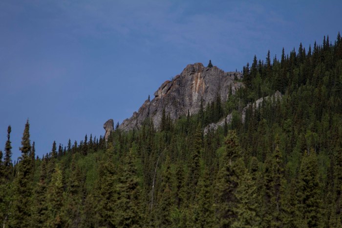
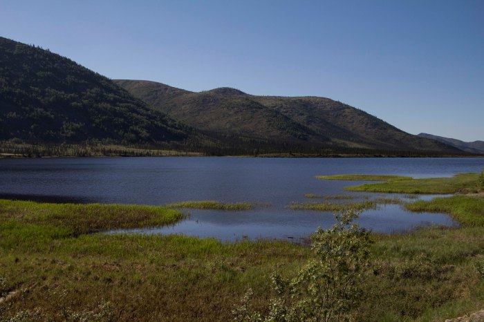
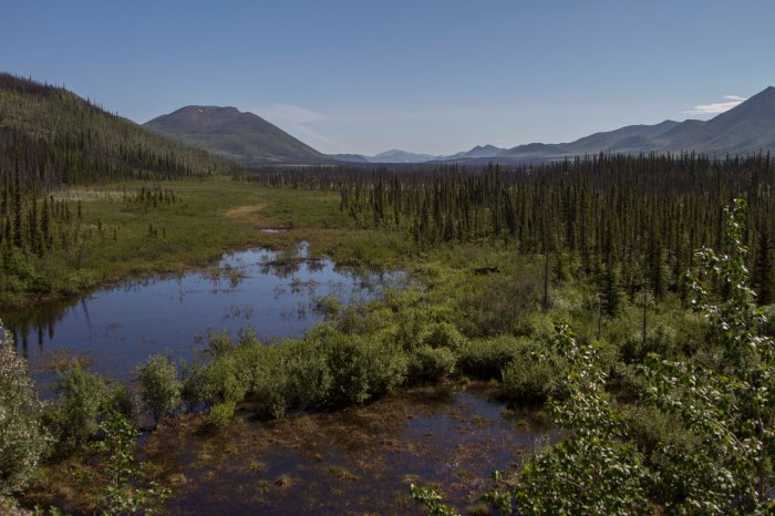
More big hills the following morning, lead, thankfully, to the Yukon River, where , once across, the road flattens out a bit and some nice forested Alaskan countryside sprouts from the earth like Grandfather Forest’s beard. Eventually, however, the hills re appeared and the grinding continued. After 70 miles, I find a gravel pit to call home right on the fringe of Finger Mountain and south of the Arctic circle maybe 25 miles. I am now seeing the first bits of true Arctic Tundra.. permafrost meltwater lakes, unglaciated Tors of granite, and windswept mountain passes are now within my eyesight.
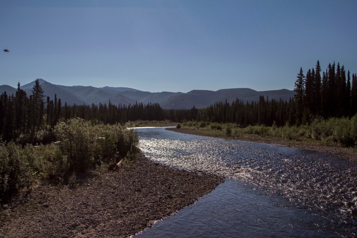
The next day, the landscape changes dramatically to the type of high country I so desire. After crossing the imaginary Arctic Circle, I cross over a small mountain pass and catch my first glimpses of the mighty Brooks Range. I drop into the valley below, and am greeted with magnificent spruce forest, and creeks filled with 24 inch Grayling. There is drinking water everywhere, a far cry from the relative dryness of the last few days out of Fairbanks. In fact the dryness was accentuated by the fact that north central Alaska has been experiencing one of the hottest, driest spells in history this week. The second day out of Fairbanks it tipped the scales at 94 degrees! This new landscape was what I came here for… unparalleled high country filled with river’s, mountains, forest, and animals.
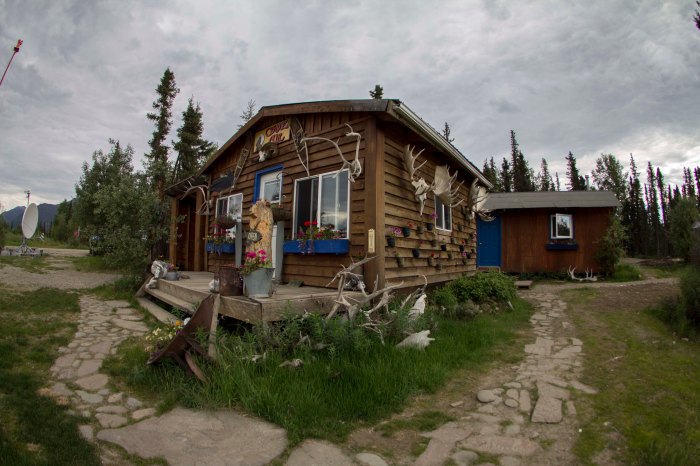
I roll into Coldfoot, the half-way point on this path, nestled in the Koyakuk River valley, in the heart of the entrance to the Brooks Range. I find a decent camp next to the river and go into “town” to find my food box. The box is not there.. Tommy had not made the trip, but had relayed the box to a friend of his to drop, but so far, it has not shown. There is a bar and a restaurant here and the food is decent and the folks here are nice and the scenery is unbeatable, so I have no problem sitting tight for a spell. Over a couple of beers, I meet Tom and Jane, a couple of extremely nice folks from the Hood Canal area of Washington state. They have flown up here from the states in their Cessna 180, and offer to take me on a short flight over the Brooks tomorrow if I wasn’t doing anything. Are you kidding? This notion makes me grin as wide as wide can be, and I accept. I meet with them the next day and, by noon or so, we are in the sky, flying over what can only be described as pure and simple wilderness bliss. Huge, craggy peaks, endless tundra mountains and rivers of a proportion that I can barely comprehend unfold before my very eyes. I hold back the tears of joy as I witness a childhood dream come true. There are no words to describe how my heart feels in this place, even from an airplane. How will I feel when I am actually in it? After about an hour, we head back to the Coldfoot landing field, and I thank Tom and Jane for their generosity. I wish them the best, and I hop on my bike, high as kite from the last hour’s experience, and eagerly pedal directly into what I had just witnessed, looking now for a direct contact with the landscape before me, which is exactly what I got.
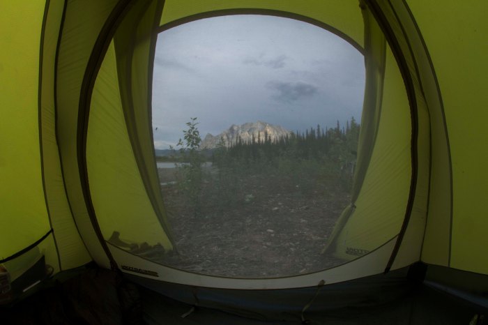
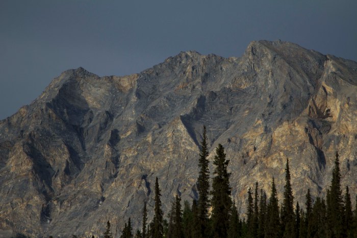
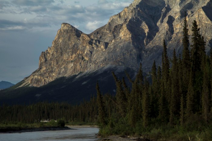
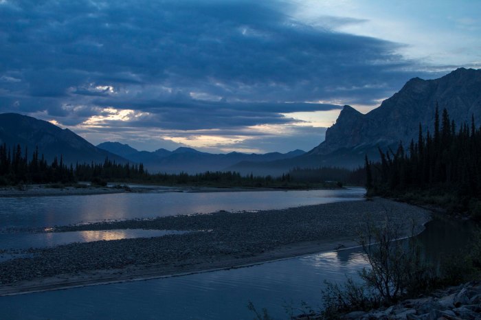
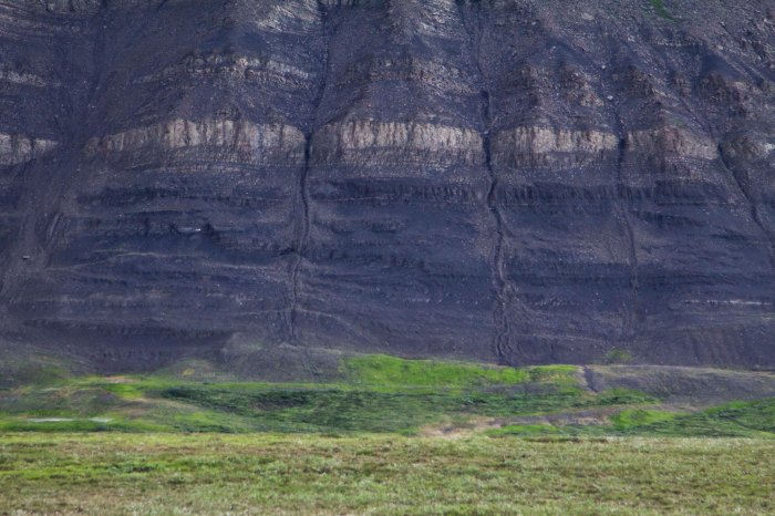
A couple of hours pedaling through mind boggling, awesome scenery, I decide to get off of the Haul Road proper, and get onto the pipeline pad road, which offers a bit more of the deeply spooky solitude that this unbelievable place can offer. Eventually the road dead ends when the pipeline disappears underground, which will dictate me backtracking to the Haul Road for a couple of mile. BUT, at it’s end, a spectacular campsite is to be had, on the Koyakuk, and facing a “sunset” view of the mighty southwest face of Sukakpak Mountain, an impressive chunk of pre cambrian limestone real estate. After swimming in the Koyakuk, I set up the camera for an evening time-lapse of Sukakpaks’ dramatic episode of color and changing light. I feel I have finally entered the place on this leg where I want to be; The High Country.
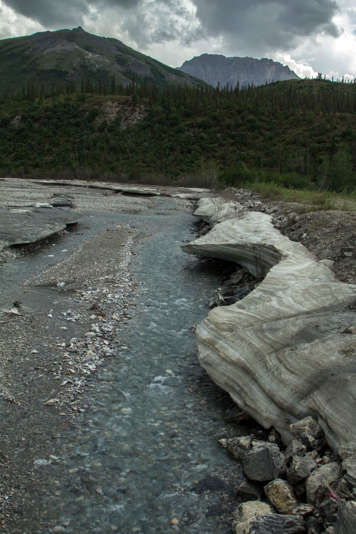
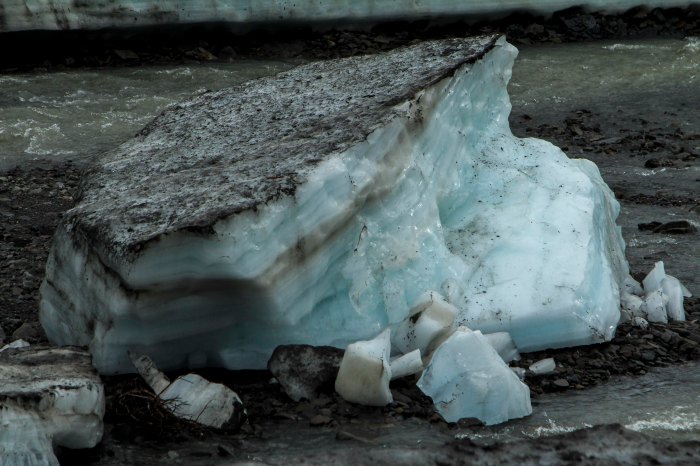
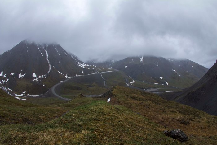
The following day is the creme de la creme; 40 miles of dead flat, yet scenery of a mesmerizing nature ensue. I see Eagles, Moose, and Fox, but no Bear, Caribou, or Wolf. The river becomes heavily braided; the forest begins to thin out. Signs of a changing ecosystem; of a different stature, more rugged than the previous mile, unfold. The weather begins to change too.. Thunderclouds build, then unleash, I retreat under a bridge and watch the storm from beneath, sitting next to river ice pack still 36 inches thick, here on June 20th. The storm breaks and and so do I. A few short miles and I pass the final spruce tree in this part of North America. No more trees at all, in fact. It is all tundra and the road begins to climb. Up, up, I go; the road flattens once again onto the spectacular Chandler Shelf, a flat area of a couple hundred square miles of tundra in the heart of the Brooks, just below the continental divide of Atigun Pass, Alaska’s Highest and most northerly road pass at 4800′. As I near Atigun’s summit, the storm once again decides to unleash it’s fury. High winds, sideways rain, and plummeting temperatures commence. I top out at 9:30 pm and find a patch of snow free tundra a way off the road and pitch my tent right there on Atigun’s high point. Even with guying the tent, I still have to brace the 4-season Easton shelter from the inside to prevent poles from snapping. Finally, the wind dies off and I drift to sleep, dreaming that night of being yet deeper into this range of magic mountains in the North, father in than I am now, traveling high valleys among Grizzly Bear and Caribou.
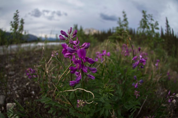
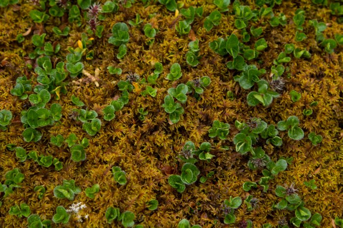
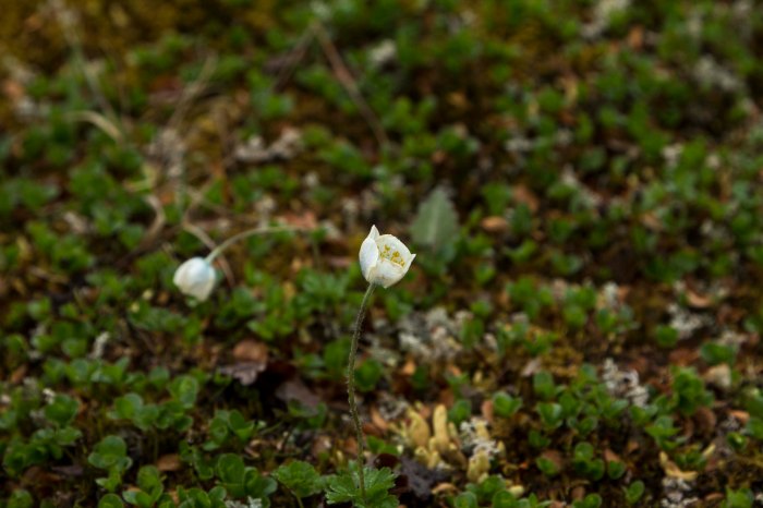
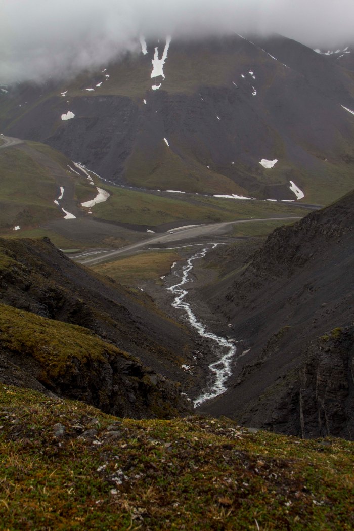
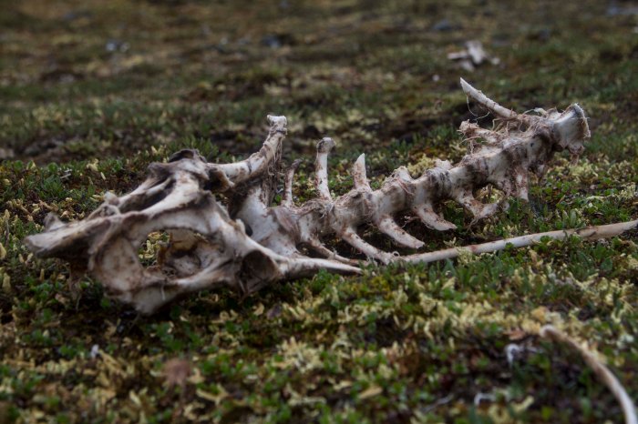
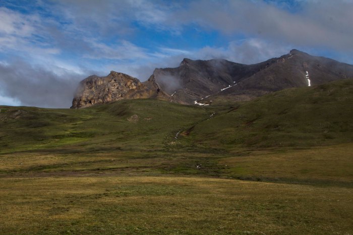
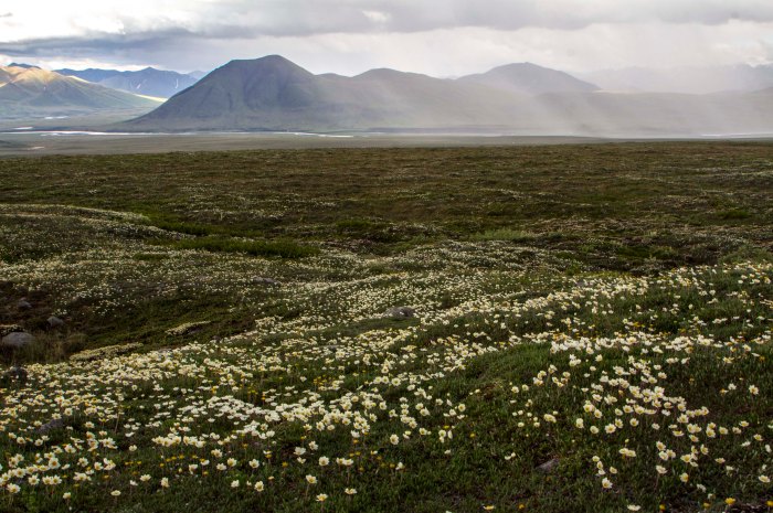
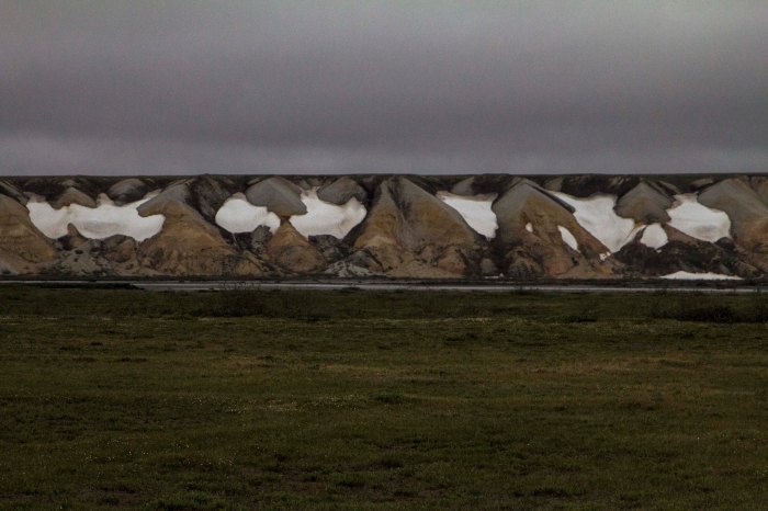
I awake to a deeply silent atmosphere of near whiteout conditions; it is eerily calm. I pack up, and descend the pass slightly to the shelf on the north side and park the Ogre for a hike up to a ridge top. The tundra here is short and squat and is easily traveled upon. It is festooned with tiny wildflowers of all shapes and colors. I pass the remains of a young Caribou, probably taken by Wolve’s. Farther up, I glimpse down great gully’s of rock towards a massive creek with outstanding waterfalls feeding it’s need to descend into the Atigun River and beyond into the Arctic Ocean. The peaks are mere 6000 footers, but are massive just the same. The Brooks is a dry region, as is the Arctic in general. It really is mostly an Arctic desert. There are a few small glaciers scattered in a couple of places in the Brooks, namely, the Arrigetch Range to the west and the Romanofz Moutains to the north east. But not here. There are thin gully’s of snow descending from the rocky summits of these peaks, providing a striking contrast to their nearly black and orange coloring. Eventually, I descend back to the bike, and continue on, down Atigun Canyon, and onto the great Arctic Plains of the Alaska’s North Slope.
The next two days are flat tussock tundra, starkly beautiful, and swelling with my favorite insects. I still see no Bears, but, plenty of Fox and Caribou. Alas, I spot a herd of twenty strong Musk Ox; the pre-historic, ice age creatures of the North American Arctic; an iconic figure of strength and endurance in this vast, untamed arctic landscape.
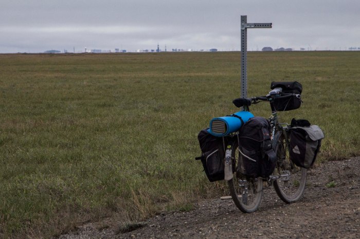
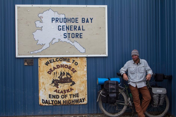
The next day, rolling into Deadhorse, it is 28 degrees F, and 40 MPH winds, but othersise uneventful. Deadhorse is the center of North America’s largest oilfield, which stretches for over 70 miles to the west. Camping looks grim, so I stay at the Prudhoe Bay Hotel, which, for 125 bucks, includes 3 meals and free laundry. I figure it is a good deal here at the end of the continent and decide to pull the trigger. After a fitful night sleep in a strange bed, I pedal out of town a couple of miles and lay the bike down and put out my thumb…
…Later, after no success in hitching a ride back to Fairbanks, I catch an hour and a half flight back to Fairbanks, where, as it turns out, I have a job waiting for me to start right away. So, without time for rest or reflection, I begin work.. Operating a chainsaw in the woods 8 hours a day. Thing could be worse…
I am happy, but tired…




























linus, fantastic trip, and great writing!! (not bad photographic skills either!!) I’m really impressed and happy for you enjoying this adventure.
Let me know if I should send some funds (I will).
frank
>________________________________ > From: Just Rolling By >To: fanthroride@yahoo.com >Sent: Sunday, June 30, 2013 4:28 PM >Subject: [New post] The Haul Road (Into the Arctic) > > > > WordPress.com >justrollingby posted: “There are only two roads, in North America, that one might pilot a vehicle of some sort, which lead to this continents Arctic area’s. As far as I know, there is only one other road in the world that leads into the Arctic outside of North America, the Arct” >
Frank! Great to hear from you, Buddy!
Thanks for the kind words!
Great reading inspired by great riding, LLP! Love the pics and can just feel how far away you are. WooHOO! I am heading up to Alaska too, to ride a 1200k brevet – Valdez to Anchorage in 3 weeks time. Will enjoy the environs as much as you do I hope, except for the sleep deprivation… Be well!
1200K huh? Wow! Yer a monster, Deb! Hopefully the skeeters will be mellower when you get here and it will cool off a bit.. Good luck!
L